Drone spots: Haute-Savoie (74)
293 spots · most viewed first · page 6 of 7
| Photo | Map | Spot | Type | Max height | Access | Views |
|---|---|---|---|---|---|---|
| La Bougeoise hiking trail | Mountain | 30 m max | On foot < 1,000 m | 29 | ||
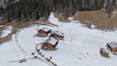
| Chez Constance - Plateau des Glières - Glières Val de Borne | Mountain | 120 m max | On foot < 1,000 m | 28 | ||
| Col de La Ramaz | Water | 120 m max | Direct access by car | 27 | ||
| Crêt du Merle - La Clusaz | Mountain | 120 m max | On foot < 1,000 m | 26 | ||
| La Bouvardière - Le Chinaillon | Heritage | 120 m max | On foot < 1,000 m | 26 | ||
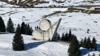
| National Monument of the Resistance - Plateau des Glières | Mountain | 120 m max | On foot < 1,000 m | 26 | ||
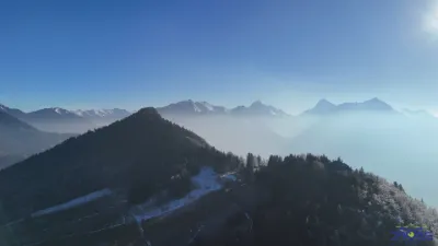
| Col de la Forclaz | Mountain | 120 m max | On foot < 1,000 m | 26 | ||
| Lake Annecy from Saint-Jorioz | Water | 120 m max | On foot < 1,000 m | 26 | ||
| Beaumont | FPV Racing | 120 m max | Direct access by car | 26 | ||
| Les Potais - Vallée du Bouchet | Mountain | 120 m max | Direct access by car | 25 | ||
| La Chartreuse de Pomier | Mountain | 120 m max | Direct access by car | 23 | ||
| Sebtier des Roselières - Saint-Jorioz | Water | 120 m max | On foot < 1,000 m | 22 | ||
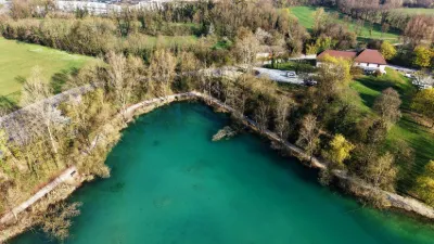
| Pérouses lake | Water | 50 m max | Direct access by car | 22 | ||
| Dive Parking du coin | Mountain | 30 m max | On foot < 1,000 m | 21 | ||
| Between Le Bettex and Saint Nicolas de Véroce (74) | Mountain | 120 m max | On foot < 1,000 m | 20 | ||
| Pointe de Beauregard - La Clusaz | Mountain | 120 m max | Direct access by car | 19 | ||
| Crêt du Loup | Mountain | 120 m max | On foot < 1,000 m | 18 | ||
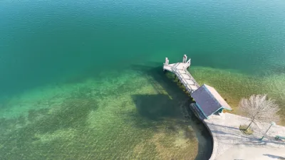
| The landing stage - Saint-Jorioz | Water | 120 m max | On foot < 1,000 m | 18 | ||
| Prés and Christomet chairlifts | Mountain | 120 m max | On foot < 1,000 m | 17 | ||
| Jaillet Gondola Lift - Les Combes - Megève | Mountain | 120 m max | On foot < 1,000 m | 16 | ||
| Les Gets towards the Nauchets and the Ranfolly | Mountain | 120 m max | On foot < 1,000 m | 15 | ||
| Les Mouilles de la Perrière - La Clusaz | Mountain | 120 m max | On foot > 1,000 m | 12 | ||
| Maroli d'en Bas - Le Chinaillon - Le Grand Bornand | Mountain | 120 m max | On foot > 1,000 m | 11 | ||
| Saint Paulen Chablais | Unusual | 120 m max | On foot < 1,000 m | 11 | ||
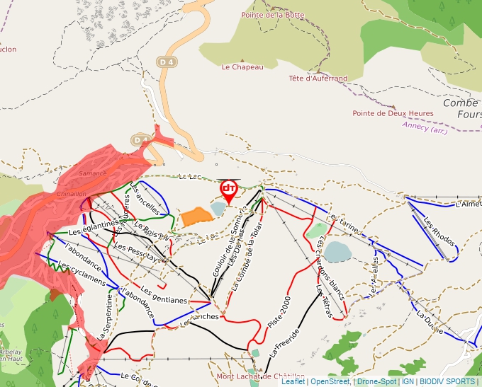
| La Sonnerie - Le Chinaillon - Le Grand Bornand | Water | 120 m max | On foot < 1,000 m | 10 | ||
| Les Bouts - Le Chinaillon | Mountain | 120 m max | On foot < 1,000 m | 9 | ||
| Plaine Joux | Mountain | 120 m max | Direct access by car | 7 | ||
| La Côte de Marlens - Val de Chaise | Heritage | 120 m max | On foot < 1,000 m | 6 | ||
| Roc de Nanbellet Viewpoint - Saint Ferréol | Mountain | 120 m max | On foot > 1,000 m | 6 | ||
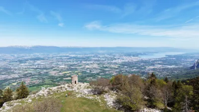
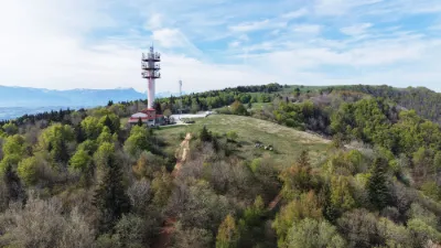
| Grand Piton Tower - Beaumont | Mountain | 120 m max | On foot < 1,000 m | 6 | ||
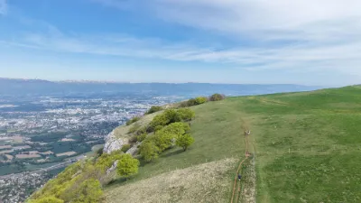
| Salève Des Crêts Paragliding Take-off - Monnetier-Mornex | Mountain | 100 m max | On foot < 1,000 m | 6 | ||
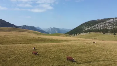
| Salève Alpage des Crêts - Monnetier-Mornex | Mountain | 100 m max | On foot < 1,000 m | 6 | ||
| Salève Buddhist Monastery Shedrub Choekhor Ling - Monnetier-Mornex | Mountain | 100 m max | Direct access by car | 6 | ||
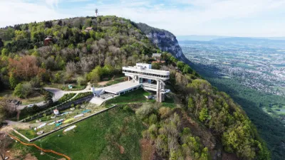
| Salève Cable Car - Monnetier-Mornex | Mountain | 100 m max | Direct access by car | 6 | ||
| Cenise plateau | Mountain | 120 m max | On foot > 1,000 m | 6 | ||
| Les Carroz, La Pestaz hike | Mountain | 120 m max | On foot < 1,000 m | 6 | ||
| Sallanches | Water | 120 m max | Direct access by car | 5 | ||
| Les houchettes | Mountain | 120 m max | Direct access by car | 4 | ||
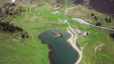
| Lac de La Cour – Le Chinaillon | Water | 120 m max | Direct access by car | 4 | ||
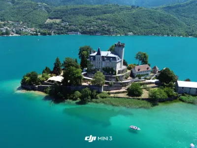
| Duingt | Heritage | 120 m max | Direct access by car | 4 | ||
| Buffavent Castle | Tourist site | 100 m max | 0 | |||
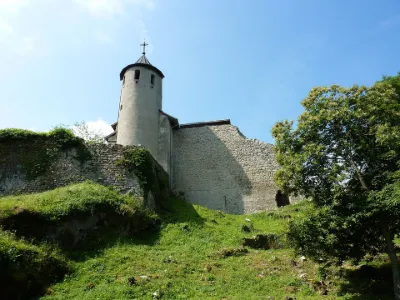
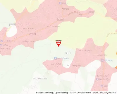
| Castle Site | Tourist site | 120 m max | 0 | |||
| Coppet Bridge | Tourist site | 50 m max | 0 | |||
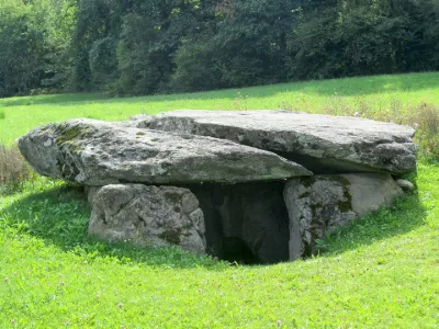
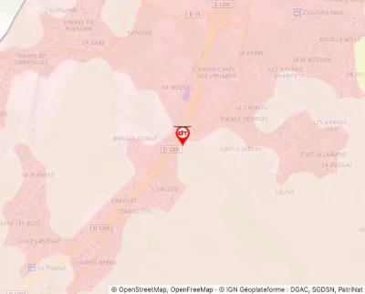
| Dolmen known as La Cave or Chambre aux Fées | Tourist site | 30 m max | 0 | |||
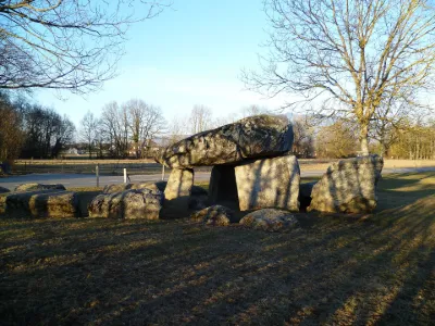
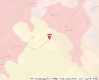
| Dolmen known as La Pierre aux Fées | Tourist site | 60 m max | 0 | |||
| Estate of the Allinges Castles | Tourist site | 120 m max | 0 | |||
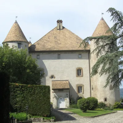
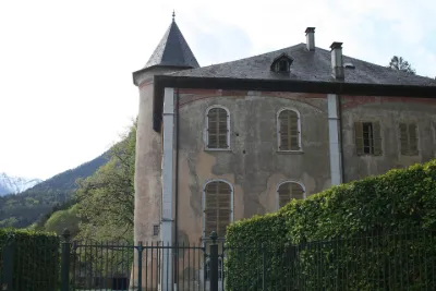
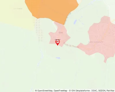
| Gye Castle | Tourist site | 120 m max | 0 | |||
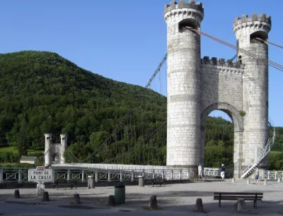
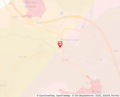
| La Caille Suspension Bridge | Tourist site | 30 m max | 0 |