

Bernisse Estate
No reviews yet
Have you flown here? Share your experience with other pilots.
+ Write the first reviewHistory
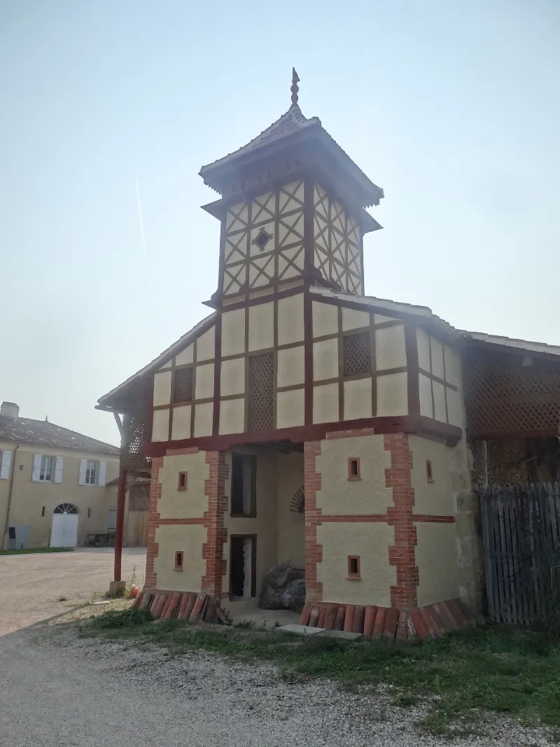
2e moitié 19e siècle Ce pigeonnier est implanté à l'entrée de la ferme située à l'arrière de la demeure où vécut le paléontologue gersois Edouard Lartet. Cet édifice, élevé dans les années 1870, prolongé par un hangar, est bâti sur un socle rectangulaire à deux niveaux surmonté d'une tour carrée. D'aspect élégant, il est construit à partir de matériaux traditionnels (pans de bois, brique crue) et industriels (briques creuses et tuiles mécaniques). L'ensemble est enduit de terre et armé de poutres de bois. Le décor est assuré par de simples planches de bois arrangées en X et appliquées sur le mur en brique. Une échelle de bois permettait l'accès à l'étage jusqu'au poulailler. Les dispositions d'origine à l'intérieur du bâtiment n'ont pas été préservées.
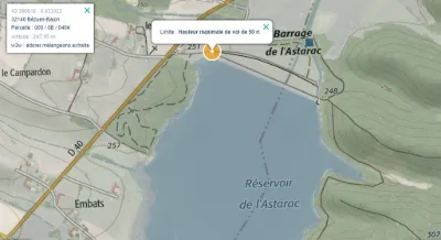
Map and restricted areas
Open in the main mapRestricted zones
| Zone | Category | Limits | Conditions |
|---|---|---|---|
| Voltac Pau Ne | Entrainement Militaire | 0 m above ground level → 15241 m above ground level | Pilotage de drones en vue directe : les aéronefs dont la masse est supérieure à 900 grammes sont soumis à notification préalable selon des modalités publiées sur le site www.ecologie.gouv.fr |
| Zrt Lima 1 | ZRT | FL 195 / FL 285 | SUP AIP 219/26 · Du mardi 20 octobre au jeudi 22 octobre 2026 |
Nearby aerodromes
Open aerodromes within 25 km of the spot, heliports included, with their distance and direction from the spot. Near an aerodrome, drone flying is prohibited or height-limited: check the UAS zones map.
| Aerodrome | Type | Distance | Elevation |
|---|---|---|---|
| Centre Hospitalier Heliport | Heliport | 15 km N | 182 m |
| Chélan | Aerodrome | 18 km S | 264 m |
| Auch-Lamothe Airport | Airport | 21 km N | 125 m |
| Sadournin Airfield | Aerodrome | 24 km SW | 280 m |
| Aérodrome de L'Isle-en-Dodon | Aerodrome | 25 km SE | 280 m |
Aviation weather (METAR and TAF)
No METAR station within 50 km.
Weather and Kp index
Sunrise and sunset
| Day | Dawn | Sunrise | Golden hour | Sunset | Dusk | Day length |
|---|---|---|---|---|---|---|
| Tue 17 Nov | 07:23 | 07:54 | 07:54–08:37 · 16:48–17:31 | 17:31 | 18:02 | 9 h 37 |
| Wed 18 Nov | 07:24 | 07:55 | 07:55–08:39 · 16:47–17:30 | 17:30 | 18:01 | 9 h 35 |
| Thu 19 Nov | 07:25 | 07:56 | 07:56–08:40 · 16:46–17:30 | 17:30 | 18:01 | 9 h 33 |
| Fri 20 Nov | 07:26 | 07:58 | 07:58–08:42 · 16:45–17:29 | 17:29 | 18:00 | 9 h 31 |
| Sat 21 Nov | 07:28 | 07:59 | 07:59–08:43 · 16:44–17:28 | 17:28 | 17:59 | 9 h 29 |
| Sun 22 Nov | 07:29 | 08:00 | 08:00–08:44 · 16:43–17:27 | 17:27 | 17:59 | 9 h 27 |
| Mon 23 Nov | 07:30 | 08:01 | 08:01–08:46 · 16:42–17:27 | 17:27 | 17:58 | 9 h 25 |

Reviews (0)
Log in to review this spot. Log in · Create a free account
No reviews yet. Share yours!