

Mont-Saint-Michel - Beuvange
No reviews yet
Have you flown here? Share your experience with other pilots.
+ Write the first reviewDescription
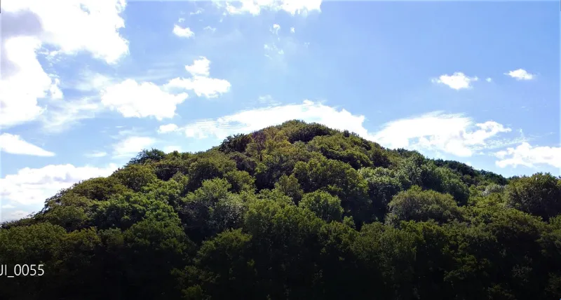
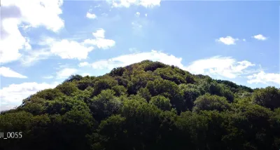
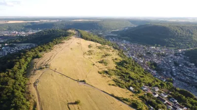
Flying site located at the foot of the Mont Saint-Michel in Beuvange, a large wooded pyramid-shaped structure housing the ruins of an old hermitage built in 1251 at its summit and a memorial on the site of the crash of a B-17 Fortress on September 8, 1944 around 1:00 pm. While flying have a thought for the 3 crew members killed by Flak and the 5 others who were taken prisoner as their plane was shot down on their return from a bombing mission over Germany. Only one crew member who had parachuted out was saved from the Germans, notably by Emile Weisskoff and Nicolas Pauly.
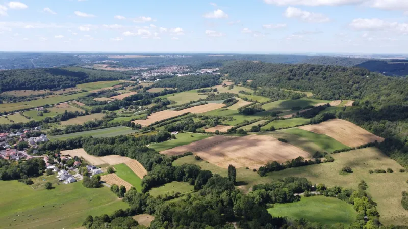
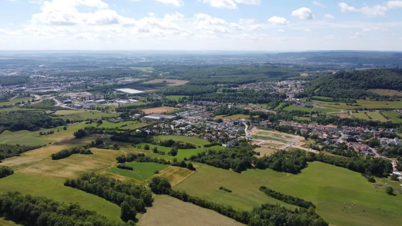
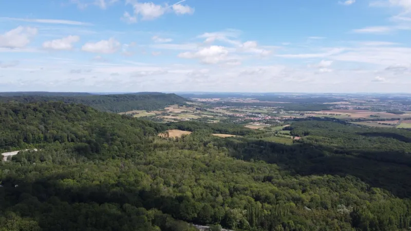
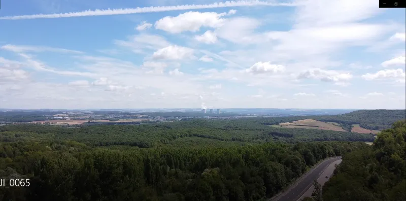
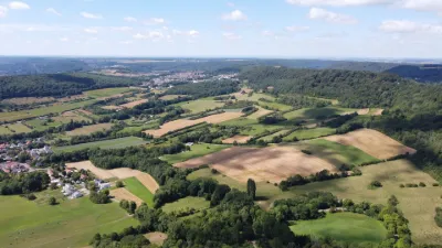
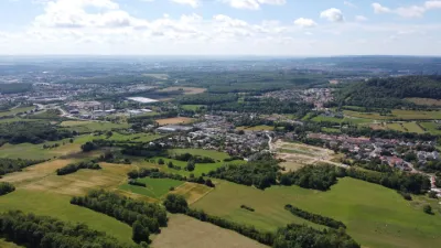
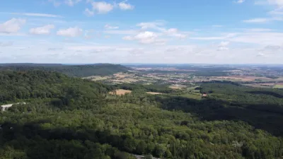
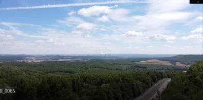
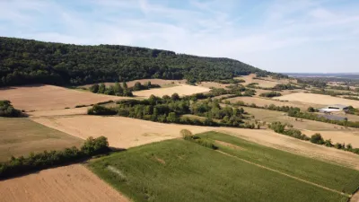
Views: To the South on the traditional Lorrain villages of Beuvange and Volkrange, on the agricultural areas still in small parcels of land delimited by hedges and coppice. Further to the East the town of Thionville, the Moselle valley and the nuclear power station of Cattenom. And to the North on the wooded hillsides of the Moselle valley.
The flight takes place in a clear area of about one kilometre, but paying attention to the masks created by the trees to maintain a good radio connection. Altitude limited to 150 m. No interference found, nor loss of signal.
Attention, a site for taking off paramotors and ULMs is located on the plateau of Angevillers to the west, so watch the airspace constantly.
Have a good flight.
Map and restricted areas
Open in the main mapNearby aerodromes
Open aerodromes within 25 km of the spot, heliports included, with their distance and direction from the spot. Near an aerodrome, drone flying is prohibited or height-limited: check the UAS zones map.
| Aerodrome | Type | Distance | Elevation | Difference |
|---|---|---|---|---|
| Villerupt Aerodrome | Aerodrome | 15 km W | 396 m | spot 70 m lower |
| Centre Hospitalier Emile Mayrisch Heliport | Heliport | 16 km NW | 296 m | spot 29 m higher |
Aviation weather (METAR and TAF)
ELLX – Luxembourg-Findel International Airport VFR
METAR
METAR ELLX 210950Z 16003KT 090V210 CAVOK 04/02 Q1019 NOSIG
- Wind
- 160°, 6 km/h
- Visibility
- 10 km or more
- Clouds
- –
- Temperature
- 4 °C, dew point 2 °C
- QNH
- 1019 hPa
- Flight category
- VFR: ceiling > 3,000 ft and visibility > 5 mi
TAF
TAF ELLX 210500Z 2106/2212 20005KT 9999 FEW045
| Period (local time) | Change | Wind | Visibility | Weather | Clouds |
|---|---|---|---|---|---|
| 21/11 07:00 → 22/11 13:00 | Initial conditions | 200°, 9 km/h | 10 km or more | Few (1-2/8) at 4,500 ft (1370 m) |
Weather and Kp index
Sunrise and sunset
| Day | Dawn | Sunrise | Golden hour | Sunset | Dusk | Day length |
|---|---|---|---|---|---|---|
| Sat 21 Nov | 07:20 | 07:56 | 07:56–08:47 · 15:56–16:47 | 16:47 | 17:23 | 8 h 51 |
| Sun 22 Nov | 07:21 | 07:57 | 07:57–08:49 · 15:54–16:46 | 16:46 | 17:22 | 8 h 49 |
| Mon 23 Nov | 07:23 | 07:59 | 07:59–08:51 · 15:53–16:45 | 16:45 | 17:21 | 8 h 46 |
| Tue 24 Nov | 07:24 | 08:00 | 08:00–08:53 · 15:52–16:45 | 16:45 | 17:20 | 8 h 44 |
| Wed 25 Nov | 07:26 | 08:02 | 08:02–08:54 · 15:51–16:44 | 16:44 | 17:20 | 8 h 42 |
| Thu 26 Nov | 07:27 | 08:03 | 08:03–08:56 · 15:50–16:43 | 16:43 | 17:19 | 8 h 39 |
| Fri 27 Nov | 07:28 | 08:04 | 08:04–08:58 · 15:49–16:42 | 16:42 | 17:18 | 8 h 37 |

Reviews
Log in to review this spot. Log in · Create a free account
No reviews yet. Share yours!