

Thionville - Oeutrange
No reviews yet
Have you flown here? Share your experience with other pilots.
+ Write the first reviewDescription
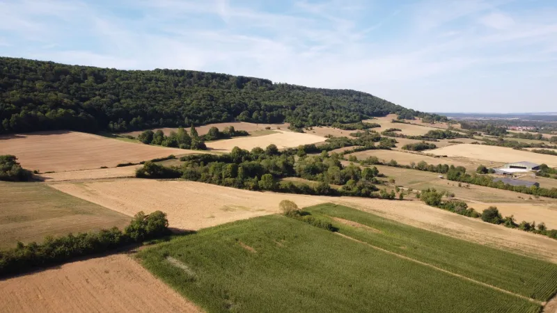
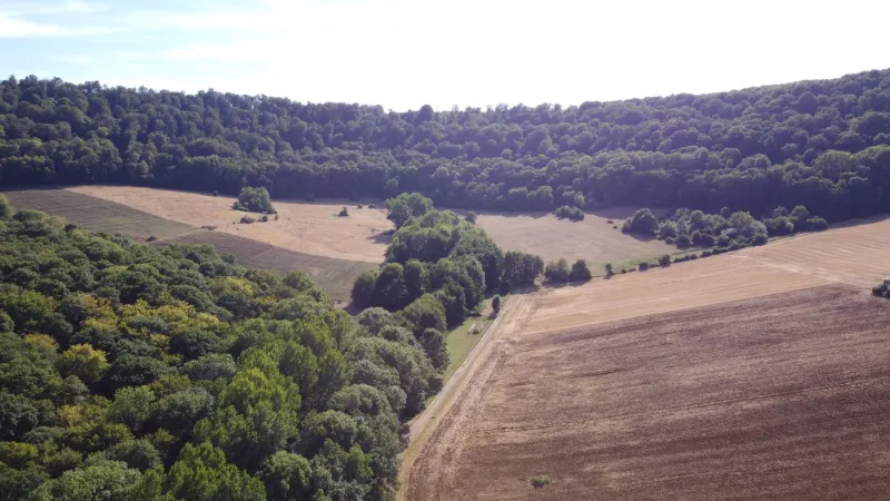
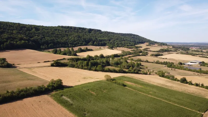
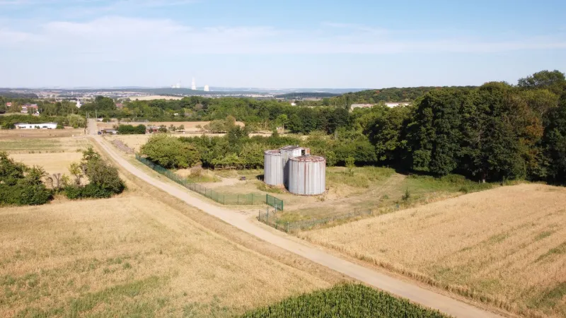
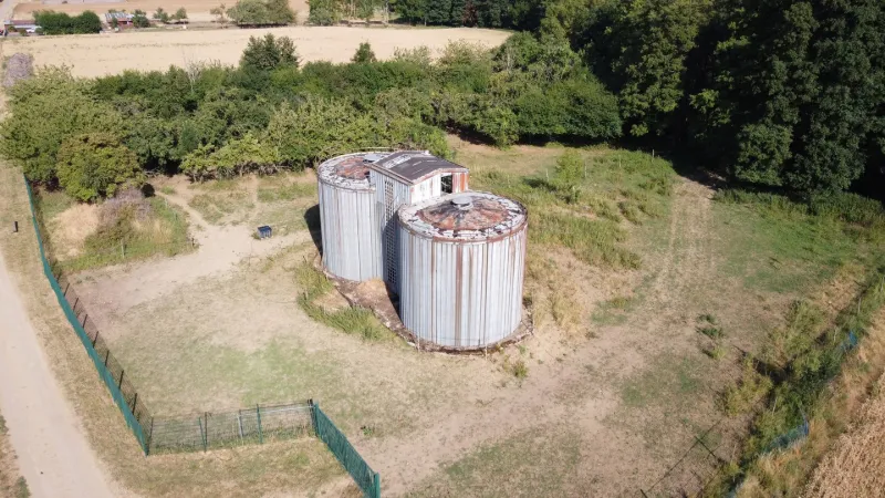
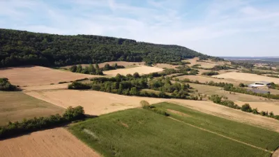
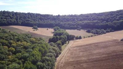
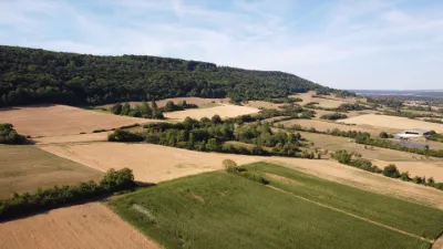
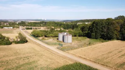
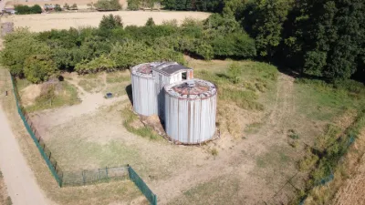
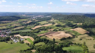
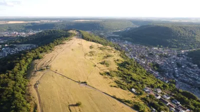
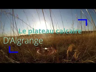
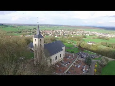
Natural circus in the Moselle coasts and Silo in ruins The flying site allows the discovery of the natural cirque in the Moselle coasts created by the source of the Wampich, a secondary tributary of the Moselle.
The area offers a flying area of about 1.2 km in diameter, in which one can fly around a ruined agricultural silo, hedges, woods and crops, without the risk of losing the signal, and do fpv serenely. The take-off can be done in different places along the road that can be travelled by car, but the turn at the exit of the chicane offers the best viewpoint for flying by sight at all times.
Flight altitude limited to 150 m. No interference found on the day of the flight. The cirque creates a relatively sheltered area from the winds and the first forbidden zones correspond to the first houses in the village.
Have a good flight!
Map and restricted areas
Open in the main mapNearby aerodromes
Open aerodromes within 25 km of the spot, heliports included, with their distance and direction from the spot. Near an aerodrome, drone flying is prohibited or height-limited: check the UAS zones map.
| Aerodrome | Type | Distance | Elevation | Difference |
|---|---|---|---|---|
| Centre Hospitalier Emile Mayrisch Heliport | Heliport | 14 km NW | 296 m | spot 55 m lower |
| Villerupt Aerodrome | Aerodrome | 15 km W | 396 m | spot 155 m lower |
| Clinique Ste-Thérèse heliport | Heliport | 24 km N | 305 m | spot 64 m lower |
Aviation weather (METAR and TAF)
ELLX – Luxembourg-Findel International Airport VFR
METAR
METAR ELLX 210950Z 16003KT 090V210 CAVOK 04/02 Q1019 NOSIG
- Wind
- 160°, 6 km/h
- Visibility
- 10 km or more
- Clouds
- –
- Temperature
- 4 °C, dew point 2 °C
- QNH
- 1019 hPa
- Flight category
- VFR: ceiling > 3,000 ft and visibility > 5 mi
TAF
TAF ELLX 210500Z 2106/2212 20005KT 9999 FEW045
| Period (local time) | Change | Wind | Visibility | Weather | Clouds |
|---|---|---|---|---|---|
| 21/11 07:00 → 22/11 13:00 | Initial conditions | 200°, 9 km/h | 10 km or more | Few (1-2/8) at 4,500 ft (1370 m) |
Weather and Kp index
Sunrise and sunset
| Day | Dawn | Sunrise | Golden hour | Sunset | Dusk | Day length |
|---|---|---|---|---|---|---|
| Sat 21 Nov | 07:20 | 07:56 | 07:56–08:47 · 15:56–16:47 | 16:47 | 17:23 | 8 h 51 |
| Sun 22 Nov | 07:21 | 07:57 | 07:57–08:49 · 15:54–16:46 | 16:46 | 17:22 | 8 h 49 |
| Mon 23 Nov | 07:23 | 07:59 | 07:59–08:51 · 15:53–16:45 | 16:45 | 17:21 | 8 h 46 |
| Tue 24 Nov | 07:24 | 08:00 | 08:00–08:53 · 15:52–16:45 | 16:45 | 17:20 | 8 h 44 |
| Wed 25 Nov | 07:26 | 08:02 | 08:02–08:54 · 15:51–16:44 | 16:44 | 17:20 | 8 h 42 |
| Thu 26 Nov | 07:27 | 08:03 | 08:03–08:56 · 15:50–16:43 | 16:43 | 17:19 | 8 h 39 |
| Fri 27 Nov | 07:28 | 08:04 | 08:04–08:58 · 15:49–16:42 | 16:42 | 17:18 | 8 h 37 |


Reviews
Log in to review this spot. Log in · Create a free account
No reviews yet. Share yours!