

Sea bathing
No reviews yet
Have you flown here? Share your experience with other pilots.
+ Write the first reviewDescription
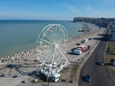
Mers-les-Bains is a seaside and tourist resort on the Somme, located on the Channel coast1 , north of the mouth of the Bresle, i.e. just on the border between the Hauts-de-France region and Normandy.
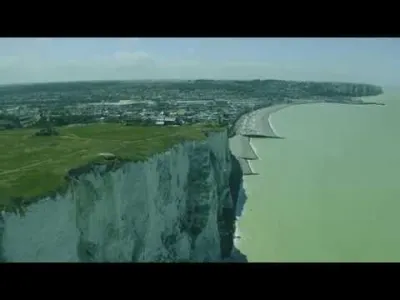
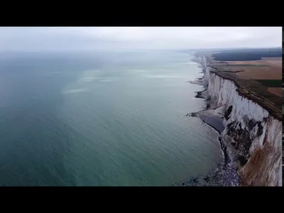
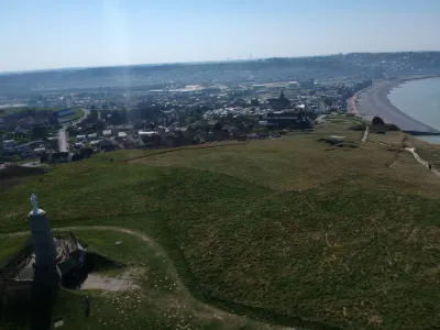
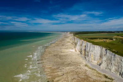
This seaside resort, also labelled since 2011 Station verte de vacances (Green Holiday Resort), has a pebble beach (and sand at low tide) of about one kilometre long as well as high chalk cliffs. From the top of the latter, near the statue of Notre-Dame, there is a vast panorama (accessible on foot by passing in front of the church or by car through the plateau following the direction of Blengues) from where it is possible to see the sea, the nearby town of Le Tréport, its marina and commercial port, the town of Eu with its castle and its collegiate church, then north to see Ault and the eponymous hedgerow, towards the bay of the Somme. On a clear day, the Picardy coast can be seen on the horizon as far as Marquenterre.
Map and restricted areas
Open in the main mapNearby aerodromes
Open aerodromes within 25 km of the spot, heliports included, with their distance and direction from the spot. Near an aerodrome, drone flying is prohibited or height-limited: check the UAS zones map.
| Aerodrome | Type | Distance | Elevation | Difference |
|---|---|---|---|---|
| Eu Mers Le Treport Airfield | Aerodrome | 2.5 km E | 100 m | spot 13 m lower |
| Centrale Nucléaire Heliport | Heliport | 17 km SW | 98 m | spot 11 m lower |
Aviation weather (METAR and TAF)
No METAR station within 50 km.
Weather and Kp index
Sunrise and sunset
| Day | Dawn | Sunrise | Golden hour | Sunset | Dusk | Day length |
|---|---|---|---|---|---|---|
| Sat 21 Nov | 07:41 | 08:17 | 08:17–09:10 · 16:11–17:04 | 17:04 | 17:40 | 8 h 46 |
| Sun 22 Nov | 07:42 | 08:19 | 08:19–09:12 · 16:09–17:03 | 17:03 | 17:39 | 8 h 44 |
| Mon 23 Nov | 07:44 | 08:20 | 08:20–09:14 · 16:08–17:02 | 17:02 | 17:38 | 8 h 41 |
| Tue 24 Nov | 07:45 | 08:22 | 08:22–09:15 · 16:07–17:01 | 17:01 | 17:37 | 8 h 39 |
| Wed 25 Nov | 07:46 | 08:23 | 08:23–09:17 · 16:06–17:00 | 17:00 | 17:36 | 8 h 36 |
| Thu 26 Nov | 07:48 | 08:24 | 08:24–09:19 · 16:05–16:59 | 16:59 | 17:36 | 8 h 34 |
| Fri 27 Nov | 07:49 | 08:26 | 08:26–09:20 · 16:04–16:58 | 16:58 | 17:35 | 8 h 32 |


Reviews
Log in to review this spot. Log in · Create a free account
No reviews yet. Share yours!