

Stromberg - Contz-les-Bains
No reviews yet
Have you flown here? Share your experience with other pilots.
+ Write the first reviewDescription
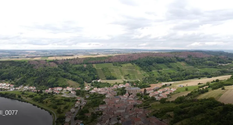
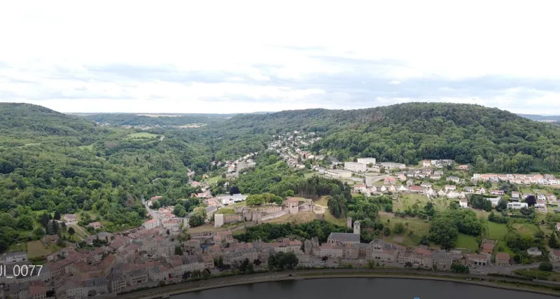
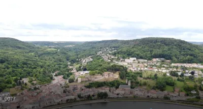
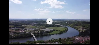
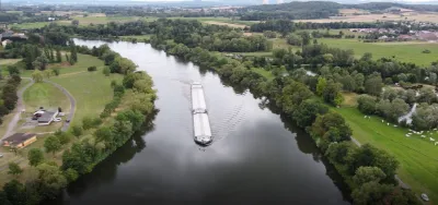
Last stop along the Moselle before the German border, the Stromberg spot offers impressive views of the Moselle, the vineyards and the village Contz as well as the town of Sierck-lès-Bains and its castle of the Dukes of Lorraine. These two communes are the beginning of the Moselle wine route, and the wines of Contz have been awarded a "Pays de Sierck" AOC since 2010, testifying to the considerable progress in the quality of the wines produced.
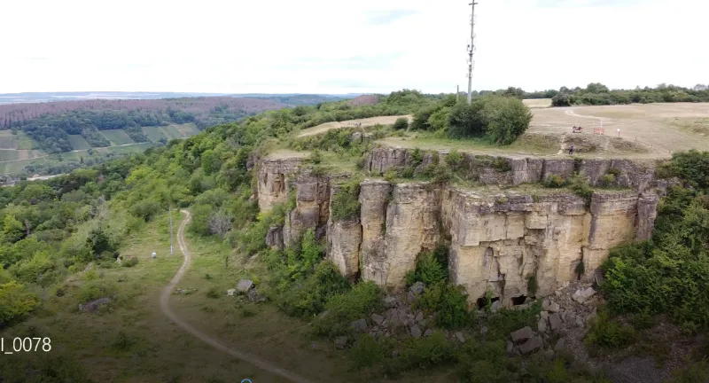
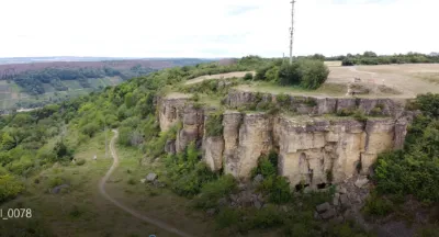
The Hettangian sandstone cliff is in fact a 165 m high witness mound and forms a spur culminating at 321 m. It is also a natural area extending on both sides of the French-Luxemburg border between Contz and Shengen.
While other Moselle villages erect pyres to celebrate the summer solstice on Midsummer Night, every year the inhabitants of Sierck and Contz traditionally throw a flaming wheel from the top of the hill down the slope into the Moselle,
Altitude limited to 150 m. Clear flight zone over several hundred meters, but of course it is obviously forbidden to fly over houses that are quite far away. No interference noted on the day of the flight despite the 2 relay antennas present on the site and rather limited flight conditions. Couples of birds of prey nest in the high forest of Contz, so make sure to keep a sufficient altitude so as not to disturb them.
It is also a popular flying site for French, Luxembourgish and German paragliders, so you may have to make way for them.
Have a good flight!
Map and restricted areas
Open in the main mapNearby aerodromes
Open aerodromes within 25 km of the spot, heliports included, with their distance and direction from the spot. Near an aerodrome, drone flying is prohibited or height-limited: check the UAS zones map.
| Aerodrome | Type | Distance | Elevation | Difference |
|---|---|---|---|---|
| Luxembourg-Findel International Airport | Major airport | 22 km NW | 376 m | spot 72 m lower |
| Clinique Ste-Thérèse heliport | Heliport | 24 km NW | 305 m | same altitude as the spot |
| Hôpital Kirchberg heliport | Heliport | 24 km NW | 372 m | spot 68 m lower |
Aviation weather (METAR and TAF)
ELLX – Luxembourg-Findel International Airport VFR
METAR
METAR ELLX 210950Z 16003KT 090V210 CAVOK 04/02 Q1019 NOSIG
- Wind
- 160°, 6 km/h
- Visibility
- 10 km or more
- Clouds
- –
- Temperature
- 4 °C, dew point 2 °C
- QNH
- 1019 hPa
- Flight category
- VFR: ceiling > 3,000 ft and visibility > 5 mi
TAF
TAF ELLX 210500Z 2106/2212 20005KT 9999 FEW045
| Period (local time) | Change | Wind | Visibility | Weather | Clouds |
|---|---|---|---|---|---|
| 21/11 07:00 → 22/11 13:00 | Initial conditions | 200°, 9 km/h | 10 km or more | Few (1-2/8) at 4,500 ft (1370 m) |
Weather and Kp index
Sunrise and sunset
| Day | Dawn | Sunrise | Golden hour | Sunset | Dusk | Day length |
|---|---|---|---|---|---|---|
| Sat 21 Nov | 07:19 | 07:55 | 07:55–08:47 · 15:54–16:46 | 16:46 | 17:22 | 8 h 51 |
| Sun 22 Nov | 07:21 | 07:56 | 07:56–08:48 · 15:53–16:45 | 16:45 | 17:21 | 8 h 48 |
| Mon 23 Nov | 07:22 | 07:58 | 07:58–08:50 · 15:52–16:44 | 16:44 | 17:20 | 8 h 46 |
| Tue 24 Nov | 07:23 | 07:59 | 07:59–08:52 · 15:51–16:43 | 16:43 | 17:19 | 8 h 43 |
| Wed 25 Nov | 07:25 | 08:01 | 08:01–08:54 · 15:49–16:42 | 16:42 | 17:18 | 8 h 41 |
| Thu 26 Nov | 07:26 | 08:02 | 08:02–08:55 · 15:48–16:42 | 16:42 | 17:18 | 8 h 39 |
| Fri 27 Nov | 07:27 | 08:04 | 08:04–08:57 · 15:47–16:41 | 16:41 | 17:17 | 8 h 37 |

Reviews
Log in to review this spot. Log in · Create a free account
No reviews yet. Share yours!