

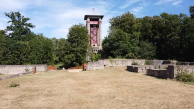
Dudelange - Ruins of the Mont Saint-Jean castle
No reviews yet
Have you flown here? Share your experience with other pilots.
+ Write the first reviewDescription
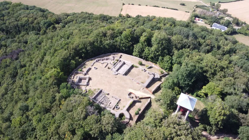
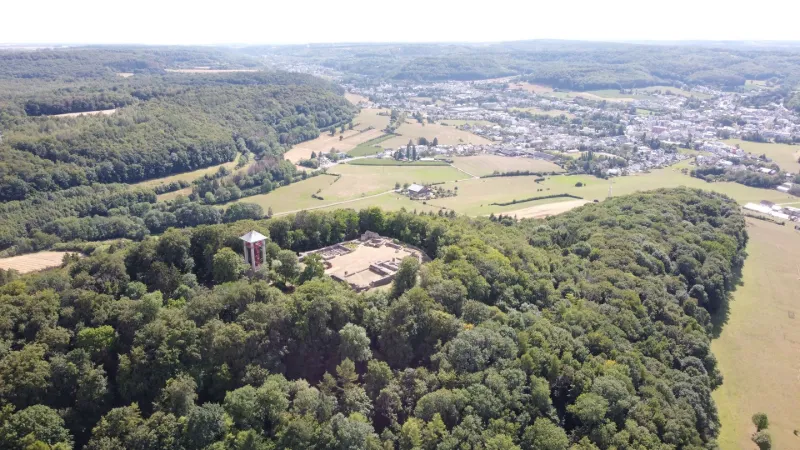
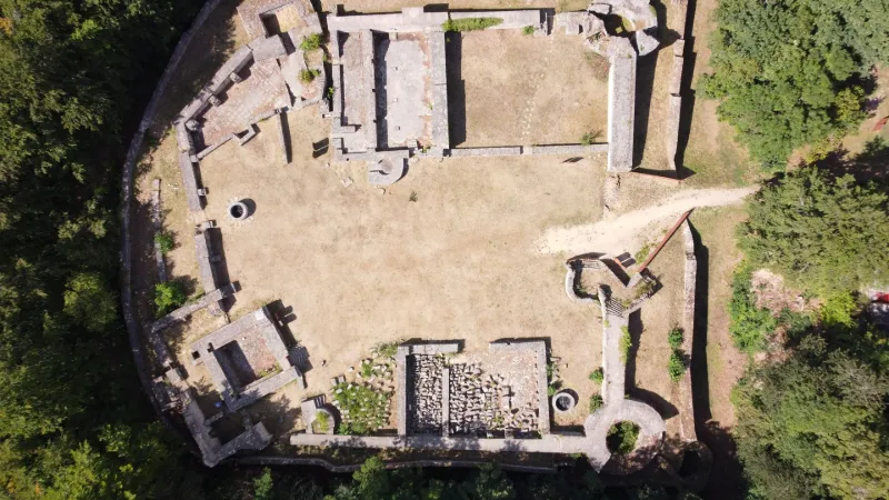
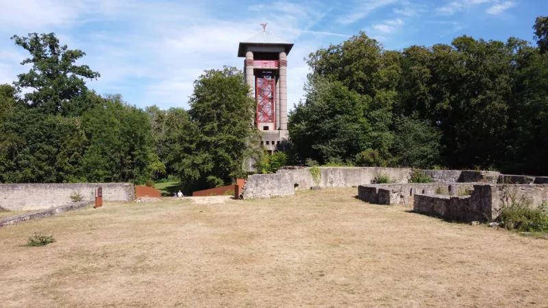
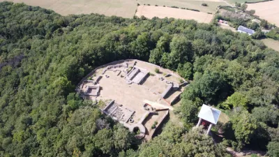
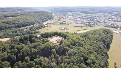
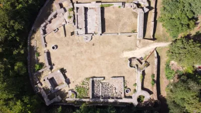
The take-off area is located in the heart of the Mont Saint-Jean castle ruins at an altitude of 411 m, after a short ascent to be made on foot. The flight can take place on an oval of almost 1.1 km long and about 500 m wide around the Mont Saint-Jean, above the forest and fields without approaching the houses.
In panorama, you will see Dudelange, Kayl, Bettembourg, Esch-sur-Alzette and in the distance Luxembourg city.
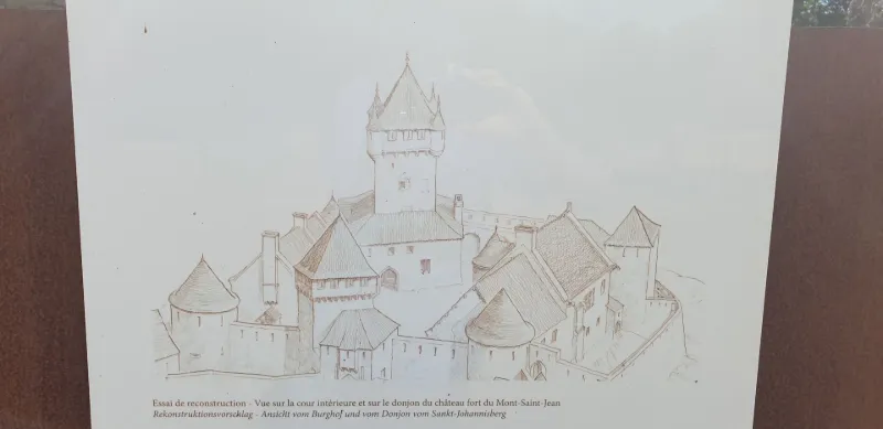
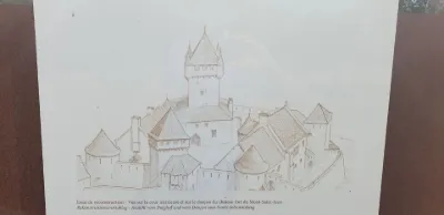
The first fortified castle would have been erected before 1260 on the remains of a fortification dating from the end of the Roman Empire in the 4th century. It was the seat of a commandery of the Hospitaller Order of Saint John of Jerusalem in the 15th and 16th centuries. The scene of numerous battles between the Counts of Bar and Luxembourg and their vassals, it was above all at the heart of the conflict between Charles V and François I, and hosted the King of France for two nights before the siege of Luxembourg, but was finally demilitarised after 1550. From then on, it served as a quarry for the surrounding villages and was gradually forgotten until the 1970s. An association, the Friends of the History of Dudelange and Mont Saint-Jean, has since been working with the commune of Dudelange to restore and enhance the site.
No interference noted during the flight, on the other hand, the only eminence on the plain, Mont Saint-Jean is known to be windy, as you can see on the video 😊.
For the moment, Luxembourg has no specific regulations, only exclusion zones around airports and heliports. However, please do not fly over populated areas out of courtesy. Known to tourism and leisure pilots, you may have to give up the sky to the Cessnas who sometimes frequent the area.
Have a good flight!
Map and restricted areas
Open in the main mapAviation weather (METAR and TAF)
ELLX – Luxembourg-Findel International Airport VFR
METAR
METAR ELLX 210950Z 16003KT 090V210 CAVOK 04/02 Q1019 NOSIG
- Wind
- 160°, 6 km/h
- Visibility
- 10 km or more
- Clouds
- –
- Temperature
- 4 °C, dew point 2 °C
- QNH
- 1019 hPa
- Flight category
- VFR: ceiling > 3,000 ft and visibility > 5 mi
TAF
TAF ELLX 210500Z 2106/2212 20005KT 9999 FEW045
| Period (local time) | Change | Wind | Visibility | Weather | Clouds |
|---|---|---|---|---|---|
| 21/11 07:00 → 22/11 13:00 | Initial conditions | 200°, 9 km/h | 10 km or more | Few (1-2/8) at 4,500 ft (1370 m) |
Weather and Kp index
Sunrise and sunset
| Day | Dawn | Sunrise | Golden hour | Sunset | Dusk | Day length |
|---|---|---|---|---|---|---|
| Sat 21 Nov | 07:20 | 07:56 | 07:56–08:48 · 15:55–16:47 | 16:47 | 17:23 | 8 h 50 |
| Sun 22 Nov | 07:22 | 07:58 | 07:58–08:50 · 15:54–16:46 | 16:46 | 17:22 | 8 h 48 |
| Mon 23 Nov | 07:23 | 07:59 | 07:59–08:52 · 15:53–16:45 | 16:45 | 17:21 | 8 h 46 |
| Tue 24 Nov | 07:25 | 08:01 | 08:01–08:53 · 15:52–16:44 | 16:44 | 17:20 | 8 h 43 |
| Wed 25 Nov | 07:26 | 08:02 | 08:02–08:55 · 15:50–16:43 | 16:43 | 17:20 | 8 h 41 |
| Thu 26 Nov | 07:27 | 08:03 | 08:03–08:57 · 15:49–16:43 | 16:43 | 17:19 | 8 h 39 |
| Fri 27 Nov | 07:29 | 08:05 | 08:05–08:58 · 15:48–16:42 | 16:42 | 17:18 | 8 h 36 |
Nearby on Wikipedia
Nearby spots
 Heritage
Kayl – Monument National des Mineurs
 Heritage
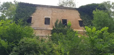
The fortified castle of Ottange in Moselle
 Heritage
Ottange - Castle Ruin
 Unusual
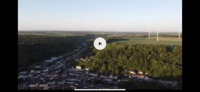
Ottange
 Heritage
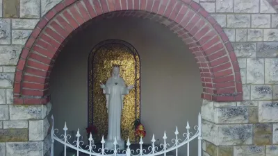
The statue of Our Lady of Beauraing, the Saint Maurice church of Kanfen, at the place called "Keybourg", in Moselle 57
 Heritage
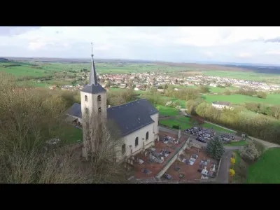
Kanfen and Surroundings
Reviews
Log in to review this spot. Log in · Create a free account
No reviews yet. Share yours!