Skip to content
FPV Racing

Training spotlight fpv
Val-d'Oise

The video is only loaded from YouTube (youtube-nocookie.com) when you start it.

2 pilot reviews

“P'tit coin tranquille” — Rien2net, 3 years ago

Read the reviews + Write my review

Description

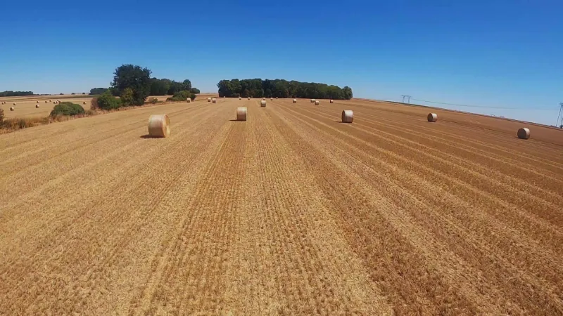
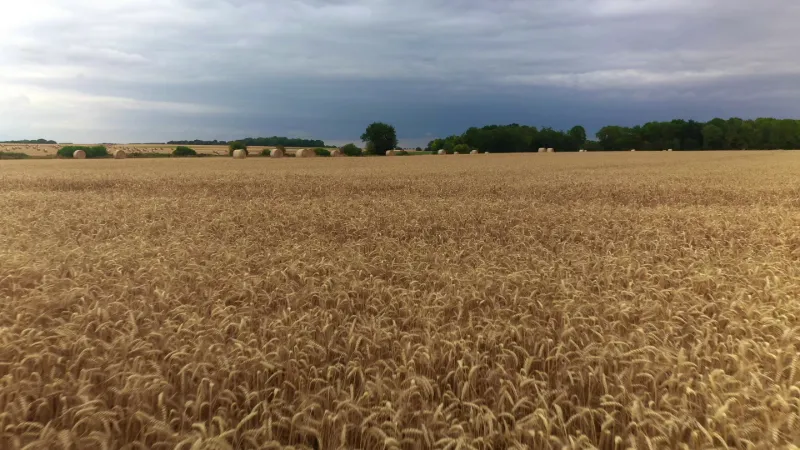
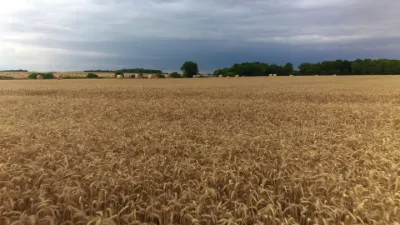
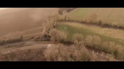
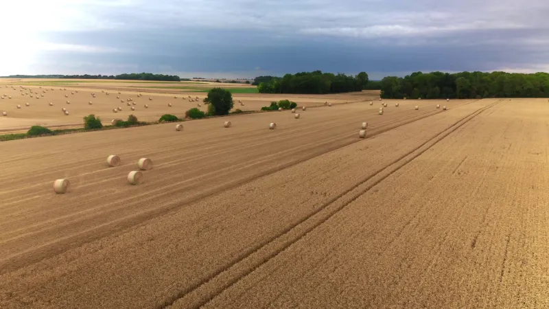
Easy access, and does not disturb anyone. This spot is lost in the middle of the fields. It allows you to practice fpv with little risk of losing your drone.

Map and restricted areas

Open in the main map

Nearby aerodromes

Open aerodromes within 25 km of the spot, heliports included, with their distance and direction from the spot. Near an aerodrome, drone flying is prohibited or height-limited: check the UAS zones map.

Aerodrome Type Distance ElevationDifference
Base Paramoteurs d' Avernes Aerodrome 5.8 km N 139 mspot 35 m lower
Les Mureaux Airfield Aerodrome 7.1 km SE 27 mspot 77 m higher
Flins Heliport Heliport 8.4 km S 25 mspot 79 m higher
Aérodrome de Pontoise - Cormeilles en Vexin Airport 12 km NE 99 mspot 5 m higher
Centre Hospitalier René Dubos Heliport Heliport 15 km E 81 mspot 23 m higher

Indicative list: it does not replace official aeronautical information.

Aviation weather (METAR and TAF)

LFPT – Aérodrome de Pontoise - Cormeilles en Vexin · 12 km NE VFR

METAR

Observed 21/11 12:30 · 29 min ago

METAR LFPT 211130Z AUTO 14006KT 9999 FEW010 SCT016 BKN054 11/09 Q1018

Wind
140°, 11 km/h
Visibility
10 km or more
Clouds
Few (1-2/8) at 1,000 ft (300 m) ; Scattered (3-4/8) at 1,600 ft (490 m) ; Broken (5-7/8) at 5,400 ft (1650 m)
Temperature
11 °C, dew point 9 °C
QNH
1018 hPa
Flight category
VFR: ceiling > 3,000 ft and visibility > 5 mi

TAF

This station does not issue a TAF (or none is currently valid).

METAR and TAF from NOAA (Aviation Weather Center), for guidance only: they do not replace flight planning with official sources (SIA, Météo-France). Nearest station that issues a METAR, not necessarily the nearest aerodrome.

Plan the light

Weather and Kp index

Loading forecast…

Sunrise and sunset

Local times at the spot (UTC+01:00). The golden hour, the warm, low light sought after for photos and videos, runs from sunrise until the sun reaches 6° above the horizon, and in the evening from 6° until sunset.

Day Dawn Sunrise Golden hour Sunset Dusk Day length
Sat 21 Nov07:36 08:11 08:11–09:02 · 16:14–17:05 17:05 17:418 h 54
Sun 22 Nov07:37 08:13 08:13–09:04 · 16:13–17:04 17:04 17:408 h 51
Mon 23 Nov07:39 08:14 08:14–09:06 · 16:12–17:03 17:03 17:398 h 49
Tue 24 Nov07:40 08:16 08:16–09:08 · 16:11–17:03 17:03 17:388 h 46
Wed 25 Nov07:41 08:17 08:17–09:09 · 16:09–17:02 17:02 17:378 h 44
Thu 26 Nov07:43 08:18 08:18–09:11 · 16:08–17:01 17:01 17:378 h 42
Fri 27 Nov07:44 08:20 08:20–09:13 · 16:07–17:00 17:00 17:368 h 40

Nearby on Wikipedia

  • Réserve naturelle régionale du site géologique de Vigny-Longuesse · 2.5 km away

    La réserve naturelle régionale du site géologique de Vigny-Longuesse (RNR209) est une réserve naturelle régionale située en Île-de-France. Classée en 2009, elle occupe une surface de et protège une carrière qui contient le seul complexe récifal fossile connu dans le tertiaire du bassin de Paris. (...)

  • Frémainville · 2.5 km away

    Frémainville est une commune française située dans le département du Val-d'Oise en région Île-de-France. Ses habitants sont appelés les Frémillons. Le village se situe sur le versant oriental d'une butte-témoin dominant l'Aubette. La commune est membre du parc naturel régional du Vexin français. (...)

  • Église Saint-Gildard de Longuesse · 2.7 km away

    L'église Saint-Gildard est une église catholique paroissiale située à Longuesse, en France. Ce fut, sous l'Ancien Régime, l'une des nombreuses possessions de l'abbaye de Saint-Germain-des-Prés. Sa construction remonte à la fin du , en ce qui concerne le chœur et la croisée du transept, qui sont de (...)

  • Seraincourt (Val-dOise) · 2.8 km away
  • Église Saint-Sulpice de Seraincourt · 3.0 km away

    L'église Saint-Sulpice est une église catholique paroissiale située à Seraincourt, dans le département français du Val-d'Oise. Elle est d'origine incertaine, et était desservie par des chanoines Prémontrés de 1175 à 1791 (...)

Articles found by GeoNames from the spot's position.

Nearby spots

Reviews

Log in to review this spot. Log in · Create a free account

  1. Rien2net

    P'tit coin tranquille

  2. Rien2net

    Testé ce matin (mai 2023) , sympa pour s'entraîner sans risque.

Connection to the site lost. Trying again…

The site is not responding. Trying again in seconds.

The site is no longer responding.

The site has been updated. Reloading the page…

This page has expired.

Resuming failed. Please reload the page.

The site is no longer responding.