

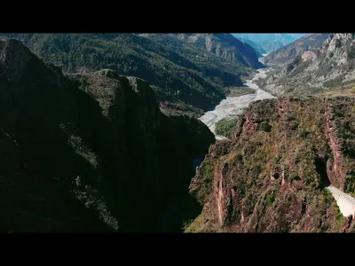
The stunning viewpoint of the Gorges du Daluis
No reviews yet
Have you flown here? Share your experience with other pilots.
+ Write the first reviewDescription
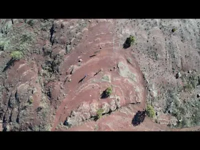
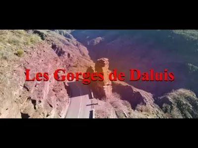
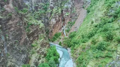
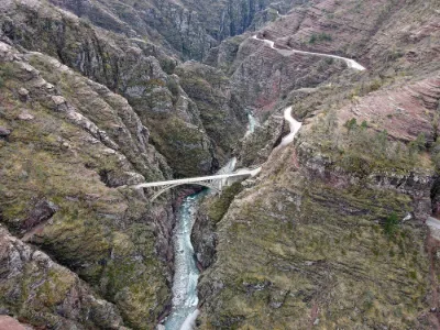
A short visit between the village of Guillaumes and the village of Daluis, in the Alpes-Maritimes department, at the gateway to the Mercantour National Park. More precisely, I'm taking you to fly over the stunning viewpoint of the Gorges du Daluis. They form a six-kilometer-long canyon carved by the Var river in the Alpes-Maritimes department in southeast France. It stretches south of Guillaumes to Daluis. To reach the exceptional "Point Sublime" viewpoint, which offers a breathtaking view of the Gorges de Daluis and its spectacular red pelites dating from the Paleozoic era
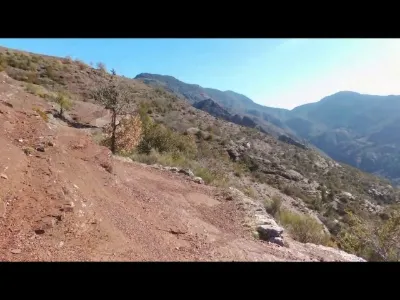
From the Pont de Berthéou parking lot, cross the road and take the trail right away at marker 66. It begins with a short crossing through the famous red "pelites" (sedimentary rocks from the Permian, more than 250 million years old), then climbs more steeply from markers 5 and 6. Continue to the right on the discovery trail and climb through the Mediterranean vegetation (downy oaks, boxwood and junipers) up to sign 7a at 952 meters (the highest point). Keep going to the right (southeast); the trail, running along the ridge, leads to the spot called "Point Sublime", where from the secured platform you look down on the Gorges de Daluis from more than 100 m above. You'll discover an incredibly vertical landscape and, across from you in the cliff, the remains of the copper mines. Allow about 45 minutes to get from the parking lot to the viewpoint.
Map and restricted areas
Open in the main mapNearby aerodromes
Open aerodromes within 25 km of the spot, heliports included, with their distance and direction from the spot. Near an aerodrome, drone flying is prohibited or height-limited: check the UAS zones map.
| Aerodrome | Type | Distance | Elevation | Difference |
|---|---|---|---|---|
| Altisurface de Valberg | Aerodrome | 10 km NE | 683 m | spot 241 m higher |
| Altisurface de Thorame--Haute Les Serres | Aerodrome | 24 km W | 1,868 m | spot 944 m lower |
Aviation weather (METAR and TAF)
No METAR station within 50 km.
Weather and Kp index
Sunrise and sunset
| Day | Dawn | Sunrise | Golden hour | Sunset | Dusk | Day length |
|---|---|---|---|---|---|---|
| Sat 21 Nov | 07:04 | 07:35 | 07:35–08:20 · 16:17–17:02 | 17:02 | 17:33 | 9 h 26 |
| Sun 22 Nov | 07:05 | 07:37 | 07:37–08:22 · 16:16–17:01 | 17:01 | 17:32 | 9 h 24 |
| Mon 23 Nov | 07:06 | 07:38 | 07:38–08:23 · 16:15–17:00 | 17:00 | 17:32 | 9 h 22 |
| Tue 24 Nov | 07:07 | 07:39 | 07:39–08:24 · 16:14–16:59 | 16:59 | 17:31 | 9 h 20 |
| Wed 25 Nov | 07:08 | 07:40 | 07:40–08:26 · 16:13–16:59 | 16:59 | 17:31 | 9 h 18 |
| Thu 26 Nov | 07:10 | 07:42 | 07:42–08:27 · 16:13–16:58 | 16:58 | 17:30 | 9 h 16 |
| Fri 27 Nov | 07:11 | 07:43 | 07:43–08:28 · 16:12–16:58 | 16:58 | 17:30 | 9 h 14 |
Reviews
Log in to review this spot. Log in · Create a free account
No reviews yet. Share yours!