

Hartmannswiller, the man-eater
No reviews yet
Have you flown here? Share your experience with other pilots.
+ Write the first reviewDescription
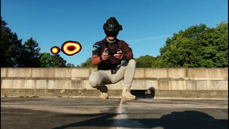
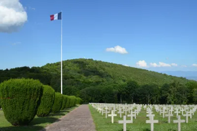
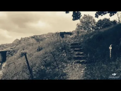
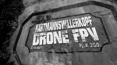
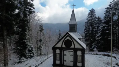
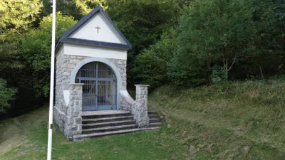
ZP00039 Hartmannswillerkopf 05092022 First reconnaissance flight at daybreak on 5 September 2022. S1 Max height 120m Max distance 200 m radius VIDEO in 4K quality: https://youtu.be/mtHVxycStOQ Flight carried out with no public present in order to comply with regulations. SITE PRESENTATION: The Hartmannswillerkopf, renamed Vieil Armand after the First World War, is a pyramid-shaped rocky spur in the Vosges massif, towering 957 meters above the Haut-Rhin plain of Alsace. A national monument stands there in memory of the fighting that took place there during the First World War, especially in 1915. Indeed, located in a straight line 7 km from Thann and 6 km from Cernay, between which ran the line separating the part of Alsace that became French again as early as 1914 from the part retaken by German troops, the Vieil Armand was a strategic summit that was fiercely contested at the time. The summit is shared between the municipalities of Hartmannswiller, Wuenheim, Wattwiller and Soultz. TOPONYMY: The name Hartmannswillerkopf comes from the name of the village of Hartmannswiller and the hill (the "head", Kopf) that rises above it. The Poilus, at the time, renamed the Hartmannswillerkopf "Vieil-Armand" (through a phonological distortion by French soldiers who spoke neither Alsatian nor German). Many of them also nicknamed it the "man-eater" or the "mountain of Death".
Map and restricted areas
Open in the main mapNearby aerodromes
Open aerodromes within 25 km of the spot, heliports included, with their distance and direction from the spot. Near an aerodrome, drone flying is prohibited or height-limited: check the UAS zones map.
| Aerodrome | Type | Distance | Elevation | Difference |
|---|---|---|---|---|
| Centre Hospitalier De Moenchsberg Heliport | Heliport | 21 km SE | 329 m | spot 578 m higher |
| La Tête Des Champs Altiport | Aerodrome | 25 km W | 970 m | spot 62 m lower |
| Mulhouse-Habsheim Airfield | Aerodrome | 25 km SE | 240 m | spot 667 m higher |
Aviation weather (METAR and TAF)
LFGA – Colmar-Houssen Airport VFR
METAR
METAR LFGA 211100Z AUTO VRB02KT 9999 FEW013 BKN037 OVC043 08/06 Q1020
- Wind
- Variable, 4 km/h
- Visibility
- 10 km or more
- Clouds
- Few (1-2/8) at 1,300 ft (400 m) ; Broken (5-7/8) at 3,700 ft (1130 m) ; Overcast (8/8) at 4,300 ft (1310 m)
- Temperature
- 8 °C, dew point 6 °C
- QNH
- 1020 hPa
- Flight category
- VFR: ceiling > 3,000 ft and visibility > 5 mi
TAF
Weather and Kp index
Sunrise and sunset
| Day | Dawn | Sunrise | Golden hour | Sunset | Dusk | Day length |
|---|---|---|---|---|---|---|
| Sat 21 Nov | 07:12 | 07:46 | 07:46–08:36 · 15:59–16:48 | 16:48 | 17:23 | 9 h 02 |
| Sun 22 Nov | 07:13 | 07:47 | 07:47–08:37 · 15:58–16:48 | 16:48 | 17:22 | 9 h 00 |
| Mon 23 Nov | 07:14 | 07:49 | 07:49–08:39 · 15:57–16:47 | 16:47 | 17:21 | 8 h 57 |
| Tue 24 Nov | 07:16 | 07:50 | 07:50–08:40 · 15:56–16:46 | 16:46 | 17:20 | 8 h 55 |
| Wed 25 Nov | 07:17 | 07:52 | 07:52–08:42 · 15:55–16:45 | 16:45 | 17:20 | 8 h 53 |
| Thu 26 Nov | 07:18 | 07:53 | 07:53–08:44 · 15:54–16:44 | 16:44 | 17:19 | 8 h 51 |
| Fri 27 Nov | 07:20 | 07:54 | 07:54–08:45 · 15:53–16:44 | 16:44 | 17:19 | 8 h 49 |

Reviews
Log in to review this spot. Log in · Create a free account
No reviews yet. Share yours!