

Belfort, the étang des Forges
No reviews yet
Have you flown here? Share your experience with other pilots.
+ Write the first reviewDescription
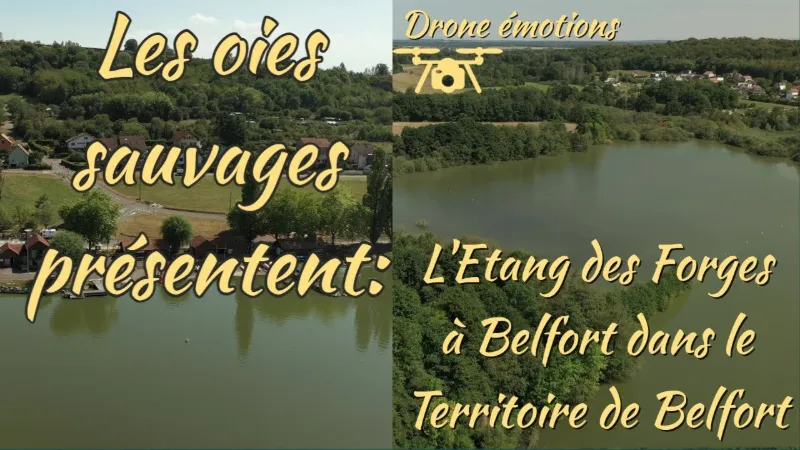
For those looking for peace and quiet and unspoiled nature to cover a few kilometers on foot in sneakers, the étang des Forges is made for you!
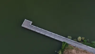
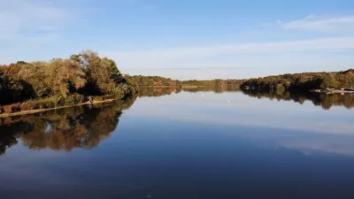
Discover the étang des Forges and enjoy the tranquility of the place with an escape into the heart of nature. Covering 34 hectares and created by humans in the Middle Ages to offset water shortages, it was later used to power the forge, hence its current name. It is located a few minutes from the center of Belfort, at the foot of the tour de la Miotte. The spot to get back to nature Looking for the favorite place of Belfort locals to go jogging or cycling? No doubt, you have finally found it! Stroll at your own pace along the banks of the étang des Forges. Whether you are a casual walker or a seasoned hiker, you will be able to fully enjoy this walk, which is accessible to everyone thanks to its gentle elevation changes. You can also rent bikes, electric or not, at the campsite! The Roselière trail Continue your walk and go around the pond, crossing footbridges, wooded areas, wet meadows and reeds. Information on the local fauna and flora is provided along your 4 km walk.
A nature reserve Finally, beyond the undeniable beauty of the place, the étang des Forges is a protected natural site. It is also classified as a ZNIEFF (Natural Area of Ecological, Faunistic and Floristic Interest), which is why the LPO (Ligue pour la Protection des Oiseaux) has set up a bird observatory. Many species nest near the pond, while others use the area as a migration corridor. In total, nearly 150 species can be seen all year round.
Map and restricted areas
Open in the main mapNearby aerodromes
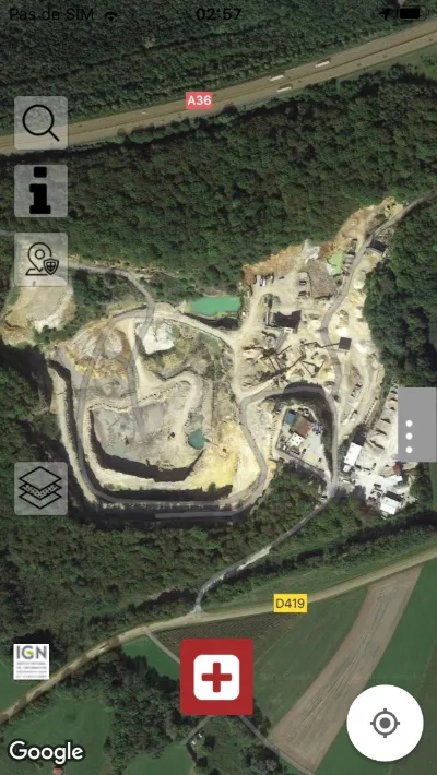
Open aerodromes within 25 km of the spot, heliports included, with their distance and direction from the spot. Near an aerodrome, drone flying is prohibited or height-limited: check the UAS zones map.
| Aerodrome | Type | Distance | Elevation | Difference |
|---|---|---|---|---|
| Belfort Chaux Airfield | Aerodrome | 5.8 km NW | 417 m | spot 49 m lower |
| Montbéliard-Courcelles Airfield | Airport | 20 km S | 317 m | spot 51 m higher |
Aviation weather (METAR and TAF)
LFSM – Montbéliard-Courcelles Airfield VFR
METAR
METAR LFSM 210630Z AUTO 20003KT 9999 OVC042/// OVC054/// OVC070/// ///TCU 07/07 Q1019
- Wind
- 200°, 6 km/h
- Visibility
- 10 km or more
- Clouds
- Overcast (8/8) at 4,200 ft (1280 m) ; Overcast (8/8) at 5,400 ft (1650 m) ; Overcast (8/8) at 7,000 ft (2130 m)
- Temperature
- 7 °C, dew point 7 °C
- QNH
- 1019 hPa
- Flight category
- VFR: ceiling > 3,000 ft and visibility > 5 mi
TAF
Weather and Kp index
Sunrise and sunset
| Day | Dawn | Sunrise | Golden hour | Sunset | Dusk | Day length |
|---|---|---|---|---|---|---|
| Sat 21 Nov | 07:12 | 07:47 | 07:47–08:36 · 16:01–16:50 | 16:50 | 17:24 | 9 h 03 |
| Sun 22 Nov | 07:14 | 07:48 | 07:48–08:37 · 16:00–16:49 | 16:49 | 17:24 | 9 h 01 |
| Mon 23 Nov | 07:15 | 07:49 | 07:49–08:39 · 15:59–16:48 | 16:48 | 17:23 | 8 h 59 |
| Tue 24 Nov | 07:16 | 07:51 | 07:51–08:40 · 15:58–16:48 | 16:48 | 17:22 | 8 h 56 |
| Wed 25 Nov | 07:18 | 07:52 | 07:52–08:42 · 15:57–16:47 | 16:47 | 17:21 | 8 h 54 |
| Thu 26 Nov | 07:19 | 07:53 | 07:53–08:44 · 15:56–16:46 | 16:46 | 17:21 | 8 h 52 |
| Fri 27 Nov | 07:20 | 07:55 | 07:55–08:45 · 15:55–16:46 | 16:46 | 17:20 | 8 h 50 |


Reviews
Log in to review this spot. Log in · Create a free account
No reviews yet. Share yours!