

Lac du Malsaucy
No reviews yet
Have you flown here? Share your experience with other pilots.
+ Write the first reviewDescription
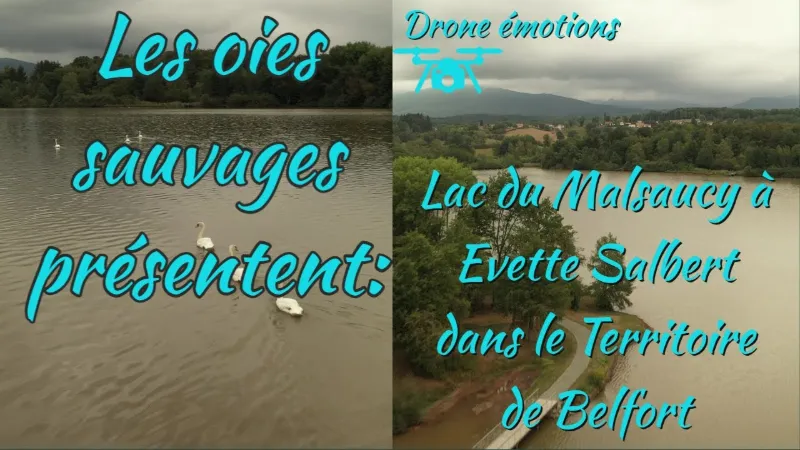
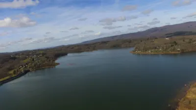
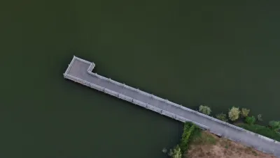
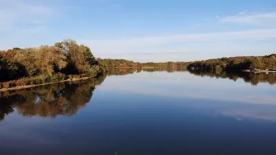
A few kilometers from Belfort, Lake Malsaucy, covering 55 hectares, stretches across three municipalities: Évette-Salbert, Lachapelle-sous-Chaux and Sermamagny.
Many water activities are practiced there thanks to the leisure center. Mountain biking, sailing, kayaking, rowing, windsurfing, climbing, orienteering, archery and fishing bring the lake to life, especially in season. Swimming is supervised during the summer months.
The region is also committed to protecting the biodiversity of the site, which is home to 49 protected animal species and 8 protected plant species: part of the lake is not open to the public. The Maison départementale de l'Environnement organizes nature discovery activities there: walks, exhibitions, storytelling and meetups.
Lake Malsaucy is known for hosting a famous rock festival: the Eurockéennes de Belfort, held there every year in early July.
Map and restricted areas
Open in the main mapNearby aerodromes
Open aerodromes within 25 km of the spot, heliports included, with their distance and direction from the spot. Near an aerodrome, drone flying is prohibited or height-limited: check the UAS zones map.
| Aerodrome | Type | Distance | Elevation | Difference |
|---|---|---|---|---|
| Belfort Chaux Airfield | Aerodrome | 2.3 km NE | 417 m | spot 26 m lower |
| Montbéliard-Courcelles Airfield | Airport | 22 km S | 317 m | spot 73 m higher |
| Ramonchamp ULM | Aerodrome | 23 km N | 577 m | spot 186 m lower |
Aviation weather (METAR and TAF)
LFSM – Montbéliard-Courcelles Airfield VFR
METAR
METAR LFSM 210630Z AUTO 20003KT 9999 OVC042/// OVC054/// OVC070/// ///TCU 07/07 Q1019
- Wind
- 200°, 6 km/h
- Visibility
- 10 km or more
- Clouds
- Overcast (8/8) at 4,200 ft (1280 m) ; Overcast (8/8) at 5,400 ft (1650 m) ; Overcast (8/8) at 7,000 ft (2130 m)
- Temperature
- 7 °C, dew point 7 °C
- QNH
- 1019 hPa
- Flight category
- VFR: ceiling > 3,000 ft and visibility > 5 mi
TAF
Weather and Kp index
Sunrise and sunset
| Day | Dawn | Sunrise | Golden hour | Sunset | Dusk | Day length |
|---|---|---|---|---|---|---|
| Sat 21 Nov | 07:13 | 07:47 | 07:47–08:36 · 16:01–16:50 | 16:50 | 17:24 | 9 h 03 |
| Sun 22 Nov | 07:14 | 07:48 | 07:48–08:38 · 16:00–16:49 | 16:49 | 17:24 | 9 h 01 |
| Mon 23 Nov | 07:15 | 07:50 | 07:50–08:39 · 15:59–16:49 | 16:49 | 17:23 | 8 h 58 |
| Tue 24 Nov | 07:17 | 07:51 | 07:51–08:41 · 15:58–16:48 | 16:48 | 17:22 | 8 h 56 |
| Wed 25 Nov | 07:18 | 07:52 | 07:52–08:42 · 15:57–16:47 | 16:47 | 17:22 | 8 h 54 |
| Thu 26 Nov | 07:19 | 07:54 | 07:54–08:44 · 15:56–16:46 | 16:46 | 17:21 | 8 h 52 |
| Fri 27 Nov | 07:20 | 07:55 | 07:55–08:46 · 15:55–16:46 | 16:46 | 17:20 | 8 h 50 |

Reviews
Log in to review this spot. Log in · Create a free account
No reviews yet. Share yours!