

Heritage
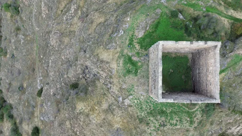
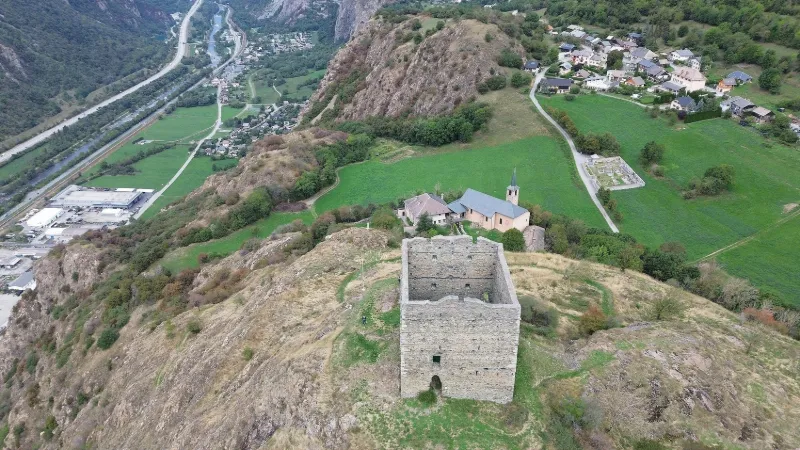
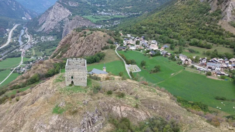
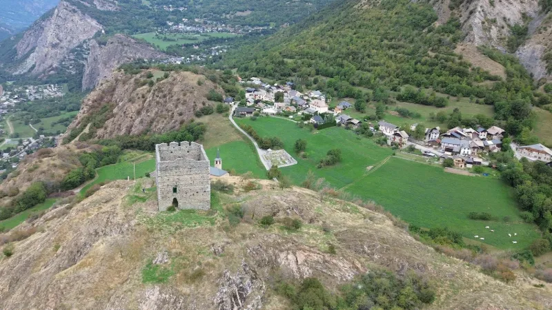
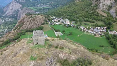
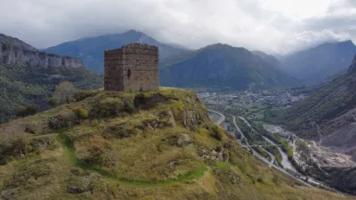
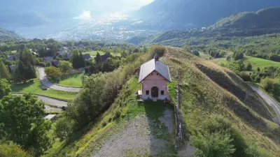
La Tour de Bérold de Saxe - Le Châtel
No reviews yet
Have you flown here? Share your experience with other pilots.
+ Write the first reviewDescription
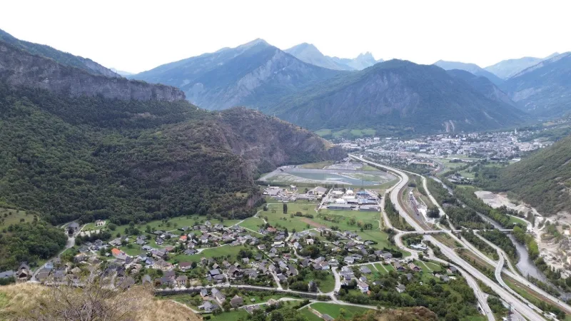
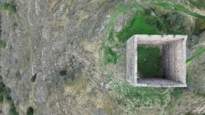
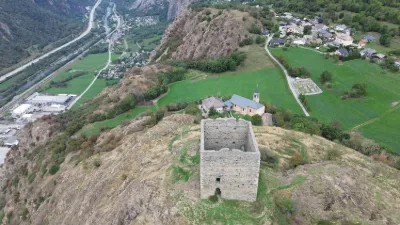
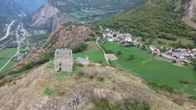
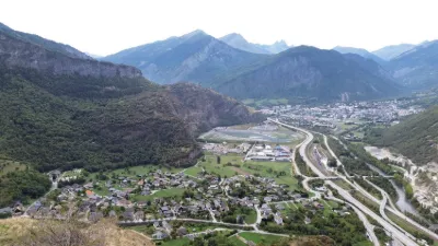
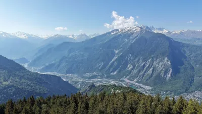
This tower is one of the oldest monuments in Savoie, strategically placed to control the Pontamafrey gorge and the bridge over the Arc. Close to SAINT-JEAN-DE-MAURIENNE
Map and restricted areas
Open in the main mapNearby aerodromes
Open aerodromes within 25 km of the spot, heliports included, with their distance and direction from the spot. Near an aerodrome, drone flying is prohibited or height-limited: check the UAS zones map.
| Aerodrome | Type | Distance | Elevation | Difference |
|---|---|---|---|---|
| Saint Rémy de Maurienne | Aerodrome | 10 km NW | 426 m | spot 368 m higher |
| Altisurface de la Pointe de l'Ouillon | Aerodrome | 13 km SW | 2,380 m | spot 1,586 m lower |
| Altisurface de Praz Sauge et Pré Vernay | Aerodrome | 15 km SW | 1,816 m | spot 1,022 m lower |
| Altiport de Val Thorens | Aerodrome | 17 km E | 2,445 m | spot 1,651 m lower |
| Altisurface de Valmorel | Aerodrome | 17 km N | 1,930 m | spot 1,136 m lower |
Aviation weather (METAR and TAF)
No METAR station within 50 km.
Weather and Kp index
Sunrise and sunset
| Day | Dawn | Sunrise | Golden hour | Sunset | Dusk | Day length |
|---|---|---|---|---|---|---|
| Sat 21 Nov | 07:09 | 07:41 | 07:41–08:27 · 16:14–17:00 | 17:00 | 17:32 | 9 h 18 |
| Sun 22 Nov | 07:10 | 07:42 | 07:42–08:29 · 16:13–16:59 | 16:59 | 17:31 | 9 h 16 |
| Mon 23 Nov | 07:11 | 07:44 | 07:44–08:30 · 16:12–16:58 | 16:58 | 17:31 | 9 h 14 |
| Tue 24 Nov | 07:12 | 07:45 | 07:45–08:32 · 16:11–16:58 | 16:58 | 17:30 | 9 h 12 |
| Wed 25 Nov | 07:14 | 07:46 | 07:46–08:33 · 16:10–16:57 | 16:57 | 17:30 | 9 h 10 |
| Thu 26 Nov | 07:15 | 07:47 | 07:47–08:34 · 16:09–16:56 | 16:56 | 17:29 | 9 h 08 |
| Fri 27 Nov | 07:16 | 07:49 | 07:49–08:36 · 16:08–16:56 | 16:56 | 17:28 | 9 h 06 |

Reviews
Log in to review this spot. Log in · Create a free account
No reviews yet. Share yours!