

The hairpins of Montvernier

No reviews yet
Have you flown here? Share your experience with other pilots.
+ Write the first reviewDescription
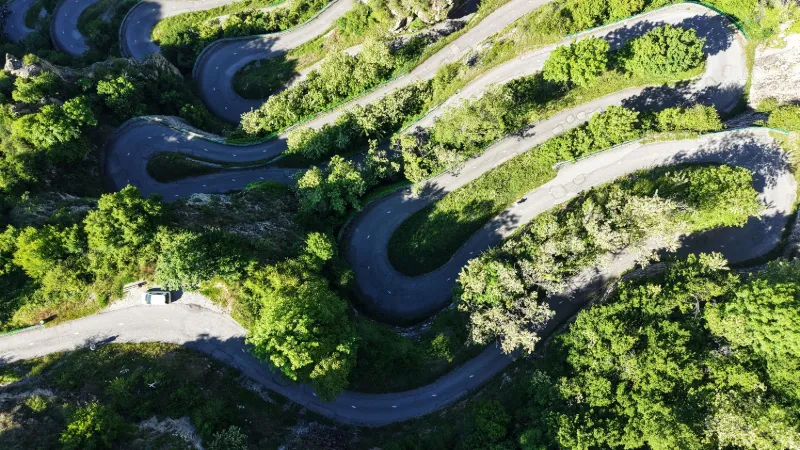
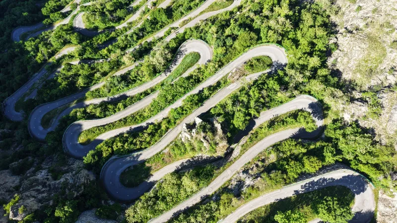
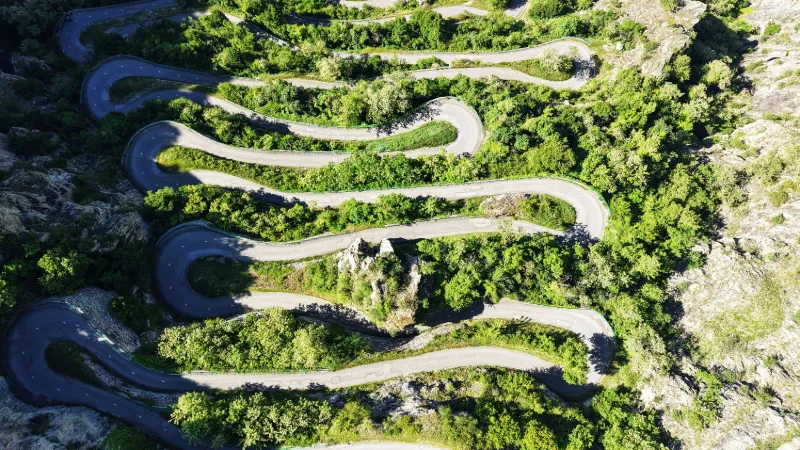
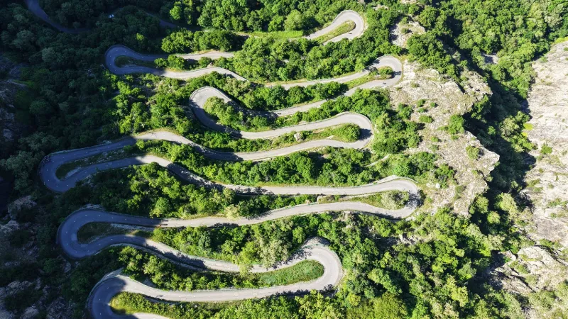
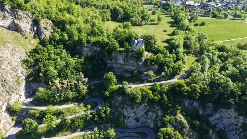
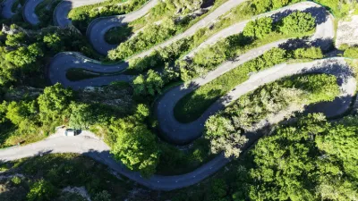
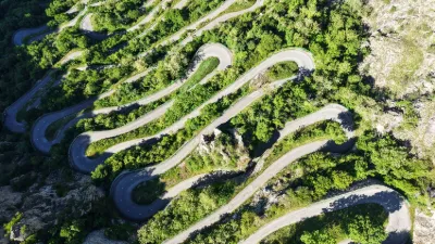
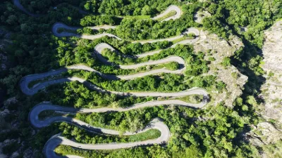
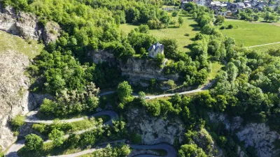
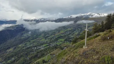
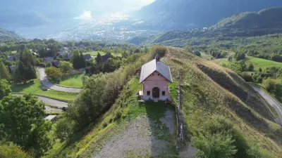
The photo of these 18 hairpin bends at Montvernier has featured in geography books for around fifty years. No less than 6 years of work, between 1928 and 1934, were needed to overcome nearly 400 meters of elevation gain to reach the villages of Montvernier, Montpascal and Monbrunal, perched above the Arc valley. These hairpins, stacked one on top of the other and clinging to the mountain, make up one of the most spectacular roads in Savoie, and a real challenge for road cyclists. The Tour de France has taken them three times (2015, 2018 and 2022)… Near SAINT JEAN-DE-MAURIENNE
Map and restricted areas
Open in the main mapNearby aerodromes
Open aerodromes within 25 km of the spot, heliports included, with their distance and direction from the spot. Near an aerodrome, drone flying is prohibited or height-limited: check the UAS zones map.
| Aerodrome | Type | Distance | Elevation | Difference |
|---|---|---|---|---|
| Saint Rémy de Maurienne | Aerodrome | 8.1 km NW | 426 m | spot 498 m higher |
| Altisurface de la Pointe de l'Ouillon | Aerodrome | 13 km SW | 2,380 m | spot 1,456 m lower |
| Altisurface de Praz Sauge et Pré Vernay | Aerodrome | 16 km SW | 1,816 m | spot 892 m lower |
| Altisurface de Valmorel | Aerodrome | 16 km N | 1,930 m | spot 1,006 m lower |
| Altiport de Val Thorens | Aerodrome | 19 km E | 2,445 m | spot 1,521 m lower |
Aviation weather (METAR and TAF)
No METAR station within 50 km.
Weather and Kp index
Sunrise and sunset
| Day | Dawn | Sunrise | Golden hour | Sunset | Dusk | Day length |
|---|---|---|---|---|---|---|
| Sat 21 Nov | 07:09 | 07:41 | 07:41–08:27 · 16:14–17:00 | 17:00 | 17:32 | 9 h 18 |
| Sun 22 Nov | 07:10 | 07:43 | 07:43–08:29 · 16:13–16:59 | 16:59 | 17:31 | 9 h 16 |
| Mon 23 Nov | 07:11 | 07:44 | 07:44–08:30 · 16:12–16:58 | 16:58 | 17:31 | 9 h 14 |
| Tue 24 Nov | 07:12 | 07:45 | 07:45–08:32 · 16:11–16:58 | 16:58 | 17:30 | 9 h 12 |
| Wed 25 Nov | 07:14 | 07:46 | 07:46–08:33 · 16:10–16:57 | 16:57 | 17:30 | 9 h 10 |
| Thu 26 Nov | 07:15 | 07:48 | 07:48–08:35 · 16:09–16:56 | 16:56 | 17:29 | 9 h 08 |
| Fri 27 Nov | 07:16 | 07:49 | 07:49–08:36 · 16:08–16:56 | 16:56 | 17:29 | 9 h 06 |
Reviews
Log in to review this spot. Log in · Create a free account
No reviews yet. Share yours!