Skip to content
Water

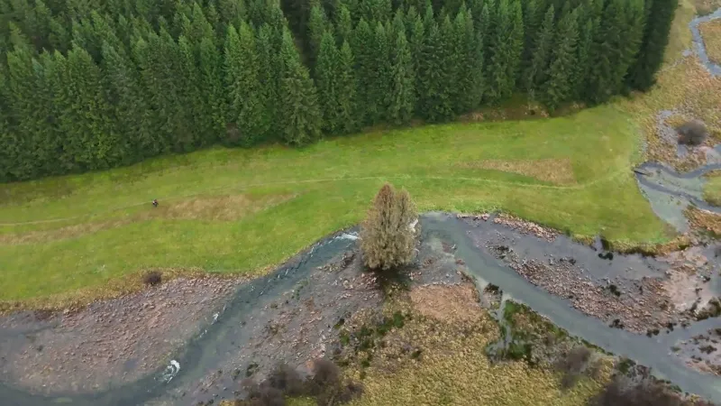
Le Rocher du Bieley / The Perlenbach Valley
Belgium

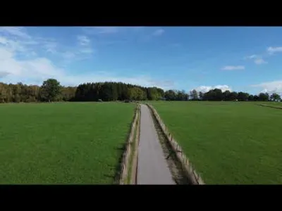
The video is only loaded from YouTube (youtube-nocookie.com) when you start it.

No reviews yet

Have you flown here? Share your experience with other pilots.

+ Write the first review

Description

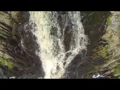
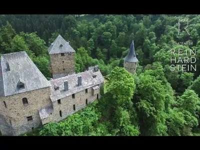
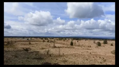
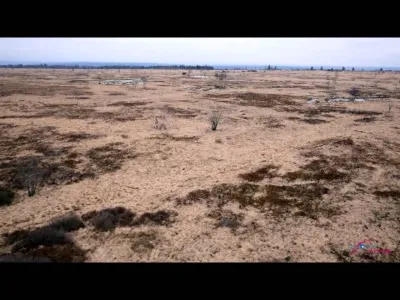
Landscape of streams, forests and clearings

Automatic translation.

Aviation weather (METAR and TAF)

ETNN – Nörvenich Air Base · 45 km NE VFR

METAR

Observed 21/11 08:20 · 18 min ago

METAR ETNN 210720Z 08001KT 9999 SCT040 02/02 Q1018 BLU+

Wind
080°, 2 km/h
Visibility
10 km or more
Clouds
Scattered (3-4/8) at 4,000 ft (1220 m)
Temperature
2 °C, dew point 2 °C
QNH
1018 hPa
Flight category
VFR: ceiling > 3,000 ft and visibility > 5 mi

TAF

This station does not issue a TAF (or none is currently valid).

METAR and TAF from NOAA (Aviation Weather Center), for guidance only: they do not replace flight planning with official sources (SIA, Météo-France). Nearest station that issues a METAR, not necessarily the nearest aerodrome.

Plan the light

Weather and Kp index

Loading forecast…

Sunrise and sunset

Local times at the spot (UTC+01:00). The golden hour, the warm, low light sought after for photos and videos, runs from sunrise until the sun reaches 6° above the horizon, and in the evening from 6° until sunset.

Day Dawn Sunrise Golden hour Sunset Dusk Day length
Sat 21 Nov07:22 07:59 07:59–08:53 · 15:49–16:42 16:42 17:198 h 43
Sun 22 Nov07:24 08:01 08:01–08:55 · 15:47–16:41 16:41 17:188 h 40
Mon 23 Nov07:25 08:02 08:02–08:56 · 15:46–16:40 16:40 17:178 h 38
Tue 24 Nov07:27 08:04 08:04–08:58 · 15:45–16:39 16:39 17:168 h 35
Wed 25 Nov07:28 08:05 08:05–09:00 · 15:44–16:39 16:39 17:168 h 33
Thu 26 Nov07:29 08:07 08:07–09:02 · 15:43–16:38 16:38 17:158 h 30
Fri 27 Nov07:31 08:08 08:08–09:04 · 15:41–16:37 16:37 17:148 h 28

Nearby on Wikipedia

  • Kalterherberg · 4.1 km away

    Kalterherberg est un vaste village allemand situé en Rhénanie-Westphalie et dépendant administrativement de la ville de Montjoie (Monschau). Le village est surtout connu pour son église catholique à double clocher dédiée à Saint Lambert, surnommée la « basilique des Fagnes » ou « cathédrale de (...)

  • Parc naturel des Hautes-Fagnes–Eifel · 4.6 km away

    Le parc naturel des Hautes Fagnes-Eifel est un Parc naturel des Hautes-Fagnes–Eifel transfrontalier partagé entre les länder allemands de Rhénanie-du-Nord-Westphalie et Rhénanie-Palatinat, et la province de Liège en Belgique. La superficie du parc est (...)

  • Leykaul · 4.7 km away

    Leykaul est un hameau de quelques habitants se situant dans la commune de Butgenbach en communauté germanophone de Belgique.

  • Küchelscheid · 5.5 km away

    Küchelscheid est un hameau situé dans la commune de Butgenbach en communauté germanophone de Belgique. Le hameau se trouve à une centaine de mètres de la frontière allemande et à 1 km du village allemand de Kalterherberg au bord des ruisseaux du Steinbach et de la Roer (...)

  • Ruitzhof · 5.8 km away

    Ruitzhof est un lieu de Rhénanie-du-Nord-Westphalie en Allemagne. Il est séparé du reste de l'Allemagne par les voies de la ligne ferroviaire belge de la Vennbahn, ce qui en fait une enclave. (...)

Articles found by GeoNames from the spot's position.

Nearby spots

Reviews

Log in to review this spot. Log in · Create a free account

No reviews yet. Share yours!

Connection to the site lost. Trying again…

The site is not responding. Trying again in seconds.

The site is no longer responding.

The site has been updated. Reloading the page…

This page has expired.

Resuming failed. Please reload the page.

The site is no longer responding.