Drone spots: Hautes-Alpes (05)
139 spots · most viewed first · page 1 of 3
| Photo | Map | Spot | Type | Max height | Access | Views |
|---|---|---|---|---|---|---|
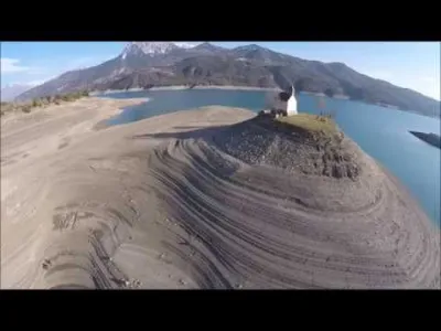
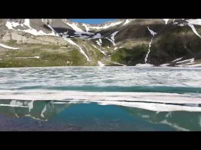
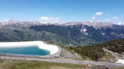
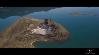
| Greenhouse lake pumice | Water | 120 m max | On foot < 1,000 m | 1,994 | ||
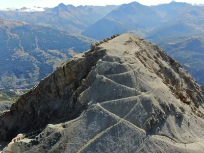
| Knight's Greenhouse | Mountain | 120 m max | On foot > 1,000 m | 1,818 | ||
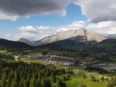
| Superdévoluy | Mountain | 120 m max | Direct access by car | 1,297 | ||
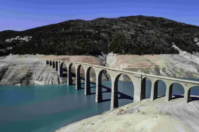
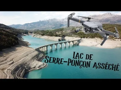
| Lake Serre Ponçon | Water | 120 m max | Direct access by car | 1,256 | ||
| Briançon - Hautes Alpes | Heritage | 50 m max | On foot < 1,000 m | 1,134 | ||
| Orcière Merlette - "Les 6 lacs" hike | Mountain | 120 m max | On foot > 1,000 m | 920 | ||
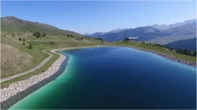
| Vars-Les-Claux artificial lake | Water | 120 m max | On foot > 1,000 m | 795 | ||
| Montgenèvre | Mountain | 120 m max | Direct access by car | 669 | ||
| Lac de l’Orceyrette | Water | 120 m max | On foot < 1,000 m | 666 | ||
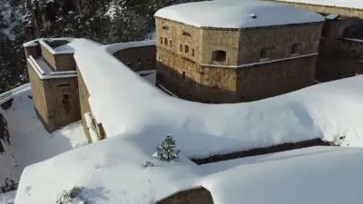
| Mount Chaberton | Mountain | 120 m max | On foot > 1,000 m | 620 | ||
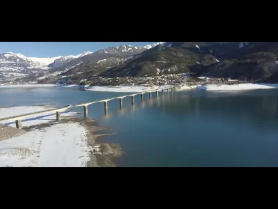
| Chanteloube Viaduct | Water | 120 m max | On foot < 1,000 m | 583 | ||
| Savines-le-Lac Bridge | Water | 120 m max | On foot < 1,000 m | 547 | ||
| Knight's Greenhouse | Mountain | 120 m max | On foot > 1,000 m | 501 | ||
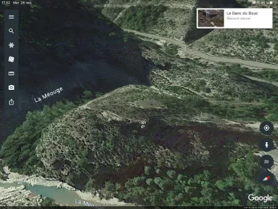
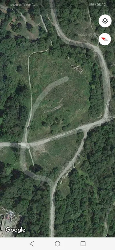
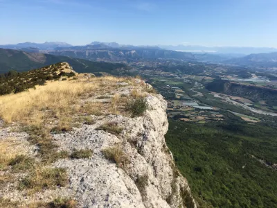
| The Banc du Bouc Gorges de la Méouge 05 | Mountain | 120 m max | On foot > 1,000 m | 373 | ||
| Ditch bridge | Mountain | 120 m max | On foot < 1,000 m | 359 | ||
| Le Pic St Cyr. Antonaves 05 | Mountain | 120 m max | On foot > 1,000 m | 357 | ||
| Domaine de Charance | Mountain | 60 m max | Direct access by car | 344 | ||
| Montmaure (05) | Water | 120 m max | On foot < 1,000 m | 306 | ||
| Saint Martin de Queyrières | Mountain | 120 m max | Direct access by car | 305 | ||
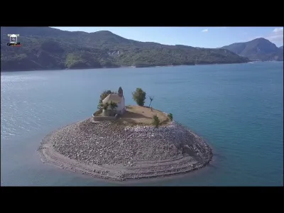
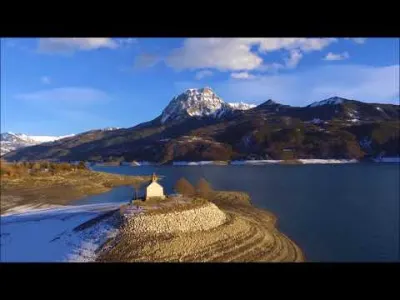
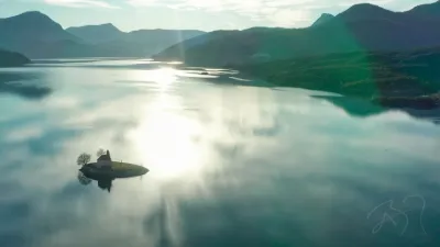
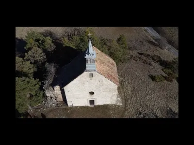
| Saint Michael's Chapel - Lake Serre Ponçon | Heritage | 120 m max | On foot < 1,000 m | 303 | ||
| Orcières Merlette - Rando "Le forest des marches" river | Mountain | 120 m max | On foot < 1,000 m | 302 | ||
| Chaudun Pass | Mountain | 120 m max | On foot < 1,000 m | 289 | ||
| The Champsaur lake | Water | 120 m max | Direct access by car | 289 | ||
| Chapel Saint-Michel de Prunières (From 0 to 30 sec.) | Water | 120 m max | On foot < 1,000 m | 281 | ||
| Saint Didiers en Dévoluy | Mountain | 120 m max | On foot < 1,000 m | 281 | ||
| Superdévoluy | Mountain | 120 m max | On foot < 1,000 m | 279 | ||
| Platte Summit 05 Ribiers | Mountain | 120 m max | On foot > 1,000 m | 278 | ||
| Lake of Nine Colors | Mountain | 120 m max | On foot > 1,000 m | 274 | ||
| Prapic - River - Drone | Mountain | 120 m max | On foot < 1,000 m | 265 | ||
| La Piarre - Aup Mountain. Summit of the Duffre and the Pyramid. | Mountain | 120 m max | On foot > 1,000 m | 265 | ||
| Eyguians The Aup Mountain. | Mountain | 120 m max | On foot > 1,000 m | 262 | ||
| Poncon greenhouse lake La Chapelle Saint-Michel | Water | 120 m max | On foot < 1,000 m | 261 | ||
| STATION SKI REALLON 05 | Mountain | 120 m max | On foot < 1,000 m | 259 | ||
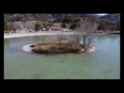
| Lake of Monêtier-Allemont | Water | 120 m max | Direct access by car | 255 | ||
| Water level of the champaur | Water | 120 m max | Direct access by car | 255 | ||
| Romanesque Chapel of St. Philomena | Heritage | 120 m max | Direct access by car | 254 | ||
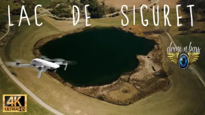
| Lac de Siguret | Mountain | 120 m max | Direct access by car | 249 | ||
| Summit of the Vist. Rousset | Mountain | 120 m max | On foot > 1,000 m | 249 | ||
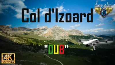
| Col d'Izoard, Queyras - Hautes Alpes | Mountain | 120 m max | On foot < 1,000 m | 247 | ||
| serreponçon | Water | 120 m max | On foot < 1,000 m | 244 | ||
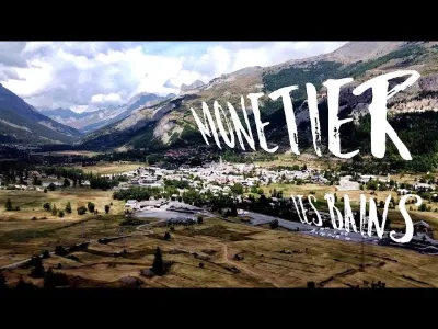
| Monetier les Bains | Heritage | 120 m max | On foot < 1,000 m | 236 | ||
| Groundhog Trail | Mountain | 50 m max | On foot > 1,000 m | 234 | ||
| Veynes | Water | 50 m max | Direct access by car | 234 | ||
| Laye station next to the paintball | Mountain | 120 m max | On foot < 1,000 m | 234 | ||
| GREENHOUSE Campaign | Unusual | 50 m max | Direct access by car | 233 | ||
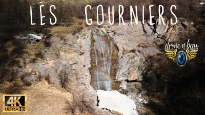
| Les Gourniers | Water | 120 m max | On foot > 1,000 m | 225 | ||
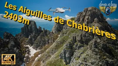
| The Aiguilles de Chabrières - Réallon | Mountain | 120 m max | On foot > 1,000 m | 222 | ||
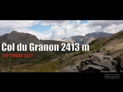
| Le Col Du Granon | Mountain | 120 m max | On foot < 1,000 m | 195 |