Skip to content
Mountain

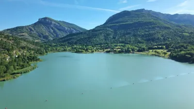
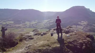
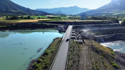
Eyguians The Aup Mountain.
Hautes-Alpes

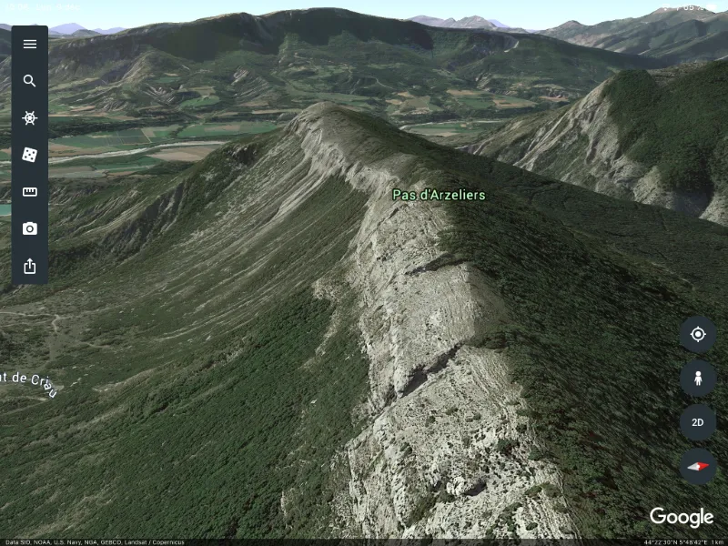
Eyguians The Aup Mountain. – photo 1

No reviews yet

Have you flown here? Share your experience with other pilots.

+ Write the first review

Description

Superb views and spots along the ridge but it deserves it (850 m difference in altitude from Eyguians).

Map and restricted areas

Open in the main map

Nearby aerodromes

Open aerodromes within 25 km of the spot, heliports included, with their distance and direction from the spot. Near an aerodrome, drone flying is prohibited or height-limited: check the UAS zones map.

Aerodrome Type Distance ElevationDifference
Serres - La Bâtie-Montsaléon Airfield Aerodrome 11 km NW 715 mspot 456 m higher
Altisurface du Grand Terrus Aerodrome 14 km W 875 mspot 296 m higher
Aérodrome de Sistéron-Vaumeilh Aerodrome 14 km SE 540 mspot 631 m higher
Aérodrome d'Aspres-sur-Buëch Aerodrome 17 km N 831 mspot 340 m higher
La Motte du Caire Glider Field Aerodrome 19 km E 650 mspot 521 m higher

Indicative list: it does not replace official aeronautical information.

Aviation weather (METAR and TAF)

No METAR station within 50 km.

METAR and TAF from NOAA (Aviation Weather Center), for guidance only: they do not replace flight planning with official sources (SIA, Météo-France). Nearest station that issues a METAR, not necessarily the nearest aerodrome.

Plan the light

Weather and Kp index

Loading forecast…

Sunrise and sunset

Local times at the spot (UTC+01:00). The golden hour, the warm, low light sought after for photos and videos, runs from sunrise until the sun reaches 6° above the horizon, and in the evening from 6° until sunset.

Day Dawn Sunrise Golden hour Sunset Dusk Day length
Sat 21 Nov07:09 07:41 07:41–08:26 · 16:20–17:05 17:05 17:379 h 24
Sun 22 Nov07:10 07:42 07:42–08:27 · 16:19–17:04 17:04 17:369 h 22
Mon 23 Nov07:11 07:43 07:43–08:28 · 16:18–17:03 17:03 17:359 h 20
Tue 24 Nov07:12 07:44 07:44–08:30 · 16:17–17:03 17:03 17:359 h 18
Wed 25 Nov07:13 07:46 07:46–08:31 · 16:16–17:02 17:02 17:349 h 16
Thu 26 Nov07:15 07:47 07:47–08:33 · 16:16–17:01 17:01 17:349 h 14
Fri 27 Nov07:16 07:48 07:48–08:34 · 16:15–17:01 17:01 17:339 h 12

Nearby on Wikipedia

  • Saint-Genis · 2.7 km away

    Saint-Genis est une ancienne commune française située dans le département des Hautes-Alpes en région Provence-Alpes-Côte d'Azur, devenue, le , une commune déléguée de la commune nouvelle de Garde-Colombe. (...)

  • Montagne de Saint-Genis · 3.3 km away

    La montagne de Saint-Genis ou montagne de l'Aup est un sommet montagneux des Alpes du Sud (Hautes-Alpes) situé entre Serres et Laragne. Elle culmine à au Roc de l'Esculier. Elle fait partie, avec la montagne de Céüse, du site Natura 2000 Céüse - Montagne d'Aujour - Pic de Crigne - Montagne de (...)

  • Eyguians · 4.0 km away

    Eyguians est une ancienne commune française située dans le département des Hautes-Alpes en région Provence-Alpes-Côte d'Azur, devenue, le , une commune déléguée de la commune nouvelle de Garde-Colombe. (...)

  • Lazer (Hautes-Alpes) · 4.1 km away

    Lazer est une commune française située dans le département des Hautes-Alpes en région Provence-Alpes-Côte d'Azur. (...)

  • Garde-Colombe · 4.2 km away

    Garde-Colombe est une commune nouvelle française qui est issue de la fusion des communes d'Eyguians, Lagrand et Saint-Genis, situées dans le département des Hautes-Alpes, en région Provence-Alpes-Côte-d’Azur. (...)

Articles found by GeoNames from the spot's position.

Nearby spots

Reviews

Log in to review this spot. Log in · Create a free account

No reviews yet. Share yours!

Connection to the site lost. Trying again…

The site is not responding. Trying again in seconds.

The site is no longer responding.

The site has been updated. Reloading the page…

This page has expired.

Resuming failed. Please reload the page.

The site is no longer responding.