Drone spots: Alpes-Maritimes (06)
333 spots · most viewed first · page 2 of 7
| Photo | Map | Spot | Type | Max height | Access | Views |
|---|---|---|---|---|---|---|
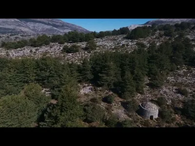
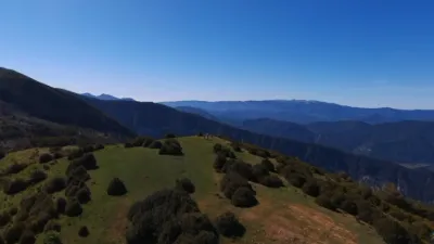
| The Pheasant Valley | Mountain | 120 m max | On foot > 1,000 m | 380 | ||
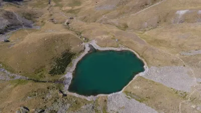
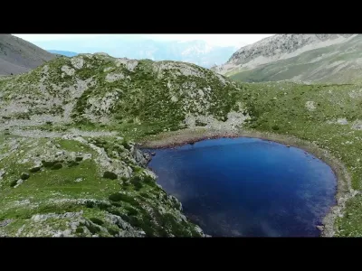
| Lac des Millefonts | Mountain | 120 m max | On foot > 1,000 m | 379 | ||
| La Coupière | Mountain | 120 m max | On foot < 1,000 m | 376 | ||
| Malaussène | Mountain | 120 m max | Direct access by car | 373 | ||
| Col del'Ecre pateau de Caussols pass | Mountain | 60 m max | Direct access by car | 372 | ||
| Gourdon | Mountain | 30 m max | Direct access by car | 367 | ||
| Cap d'Antibes | Water | 50 m max | Direct access by car | 367 | ||
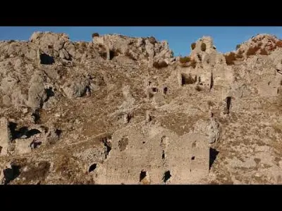
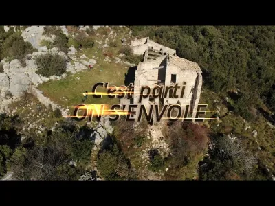
| Ruins of Aspremont | Heritage | 120 m max | On foot > 1,000 m | 367 | ||
| The Roquefort-les-Pins forest | Heritage | 120 m max | On foot > 1,000 m | 366 | ||
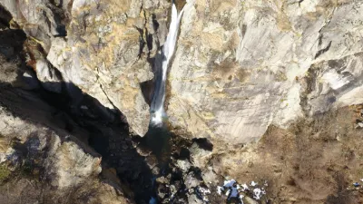
| Ray de Belvedere Waterfall | Water | 120 m max | On foot < 1,000 m | 366 | ||
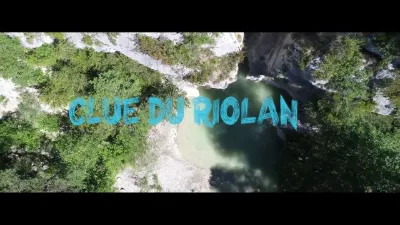
| Clue du Riolan - Salagriffon | Water | 120 m max | On foot < 1,000 m | 365 | ||
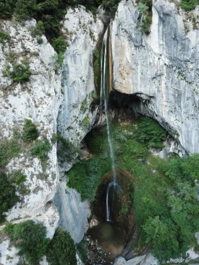
| Cascade of ants | Water | 120 m max | On foot < 1,000 m | 360 | ||
| TETE DE SAUMOS | Mountain | 120 m max | On foot < 1,000 m | 357 | ||
| LE VILLAGE DES DAMNES | Heritage | 120 m max | On foot > 1,000 m | 356 | ||
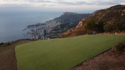
| Laï Barraï flying area | Mountain | 60 m max | Direct access by car | 352 | ||
| Le MORTIER a small plateau for a nice view | Mountain | 50 m max | On foot < 1,000 m | 352 | ||
| THE GOOSENECK | Mountain | 50 m max | On foot > 1,000 m | 351 | ||
| Seranon Plain | Unusual | 120 m max | Direct access by car | 350 | ||
| Ruins of Chateauneuf Villevieille | Heritage | 120 m max | Direct access by car | 349 | ||
| Anse de l'Argent Faux - Cap d'Antibes | Water | 50 m max | On foot < 1,000 m | 346 | ||
| Flight Area Laï Barraï | Mountain | 60 m max | Direct access by car | 344 | ||
| Looks like the south. | Heritage | 60 m max | On foot > 1,000 m | 343 | ||
| Towards the neck of the Madonna of Gorbio | Mountain | 120 m max | Direct access by car | 342 | ||
| View on GOURDON from its wood to the West | Mountain | 120 m max | On foot < 1,000 m | 341 | ||
| The limestone plateau of Saint Barnabé | Unusual | 120 m max | Direct access by car | 339 | ||
| Giaure Fort | Heritage | 120 m max | On foot < 1,000 m | 337 | ||
| Lake Thorenc | Water | 50 m max | On foot < 1,000 m | 336 | ||
| Lakes of a Mile Ends | Water | 120 m max | On foot > 1,000 m | 334 | ||
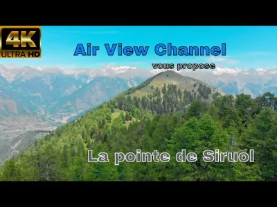
| The tip of Siruol near Venanson | Mountain | 120 m max | On foot < 1,000 m | 333 | ||
| Roquebrune cape martin | Mountain | 120 m max | On foot < 1,000 m | 331 | ||
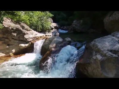
| Wolf Gorge | Water | 120 m max | On foot < 1,000 m | 329 | ||
| The Caramel Viaduct | Unusual | 120 m max | Direct access by car | 325 | ||
| Roquebrune-Cap-Martin | Water | 120 m max | On foot < 1,000 m | 319 | ||
| The mountain of the audiberg | Mountain | 50 m max | On foot > 1,000 m | 319 | ||
| In the vicinity of LIEUCHE | Mountain | 120 m max | On foot > 1,000 m | 317 | ||
| Brown Mountain | Mountain | 120 m max | On foot < 1,000 m | 317 | ||
| Top of the cheiron, the jerusalem. | Mountain | 50 m max | On foot > 1,000 m | 315 | ||
| The Balm of Calern | Mountain | 120 m max | On foot > 1,000 m | 315 | ||
| Chapel of the Holy Balm | Heritage | 120 m max | On foot < 1,000 m | 314 | ||
| On the banks of the Cavillore | Mountain | 120 m max | On foot > 1,000 m | 313 | ||
| The fortified farm | Mountain | 120 m max | On foot > 1,000 m | 313 | ||
| PANORAMA FROM THE ARPILLE | Mountain | 50 m max | On foot < 1,000 m | 313 | ||
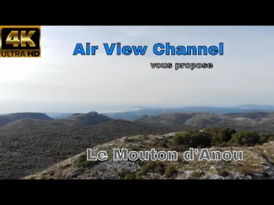
| Le Mouton d'Anou near BEZAUDUN-les-Alpes | Mountain | 120 m max | On foot > 1,000 m | 311 | ||
| Castillian cabbage | Mountain | 120 m max | On foot < 1,000 m | 311 | ||
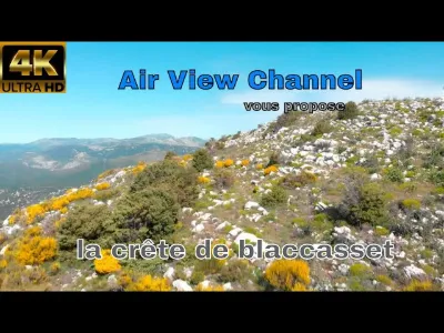
| the crest of blaccasset near Grasse | Mountain | 120 m max | On foot < 1,000 m | 310 | ||
| bee hide | Mountain | 120 m max | On foot < 1,000 m | 309 | ||
| GARIGLIAN's Peak | Mountain | 120 m max | On foot > 1,000 m | 307 | ||
| The Clos d'Aubriac | Mountain | 120 m max | On foot < 1,000 m | 307 |