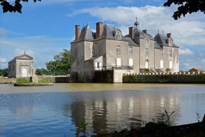
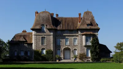
Drone spots: Loire-Atlantique (44)
210 spots · most viewed first · page 4 of 5
| Photo | Map | Spot | Type | Max height | Access | Views |
|---|---|---|---|---|---|---|
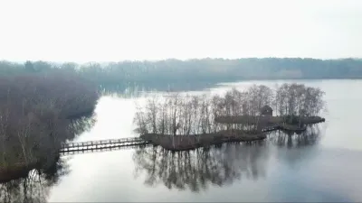
| Treffieux | Water | 120 m max | Direct access by car | 33 | ||
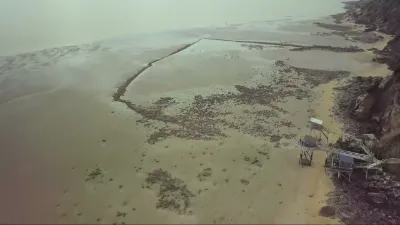
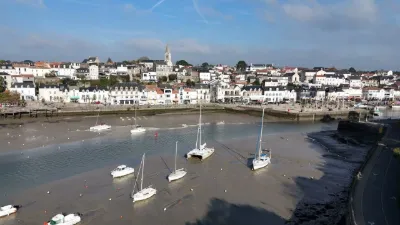
| La Bernerie en Retz (44) | Water | 120 m max | On foot < 1,000 m | 32 | ||
| Beaumont Issé pond | Water | 120 m max | Direct access by car | 31 | ||
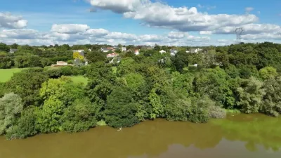
| Lac de Beaulieu (LOIRE ATLANTIQUE) | Water | 50 m max | On foot < 1,000 m | 29 | ||
| Pornic | Water | 120 m max | On foot < 1,000 m | 27 | ||
| ETANG AUMEE | Water | 120 m max | Direct access by car | 25 | ||
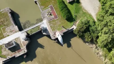
| Canal de la Martinière (LOIRE ATLANTIQUE) | Water | 120 m max | On foot < 1,000 m | 23 | ||
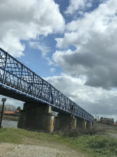
| Le bout des Ponts | Heritage | 120 m max | Direct access by car | 14 | ||
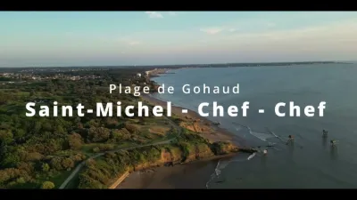
| Plage du Gohaud at St Michel Chef Chef | Water | 100 m max | On foot > 1,000 m | 11 | ||
| Bout de Bois pond | Water | 50 m max | On foot < 1,000 m | 11 | ||
| Frog pond | Water | 120 m max | Direct access by car | 11 | ||
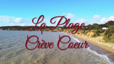
| La plage Crève Coeur | Water | 120 m max | On foot < 1,000 m | 7 | ||
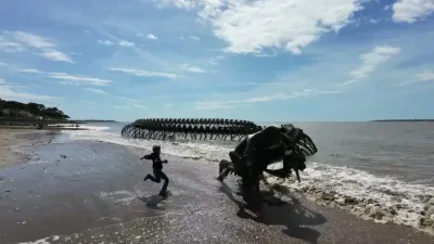
| Saint Brevin les Pins beach | Unusual | 30 m max | On foot < 1,000 m | 6 | ||
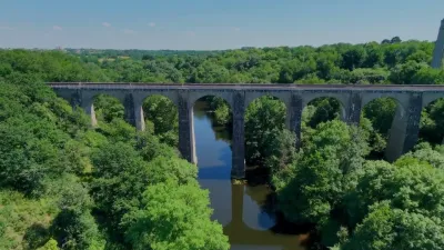
| Doucinière Viaduct | Heritage | 120 m max | On foot < 1,000 m | 5 | ||
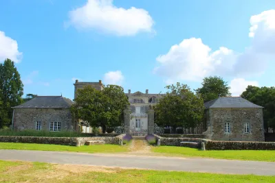
| Berrière Castle | Tourist site | 120 m max | 0 | |||
| Bois Chevalier Castle | Tourist site | 120 m max | 0 | |||
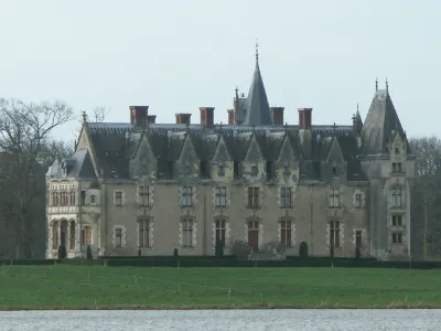
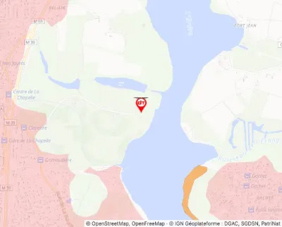
| Bois-Rouaud Castle | Tourist site | 120 m max | 0 | |||
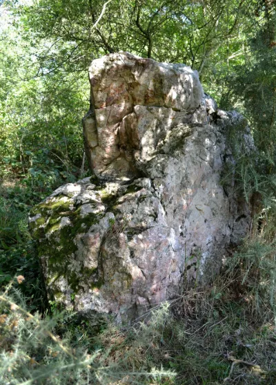
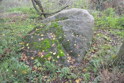
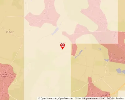
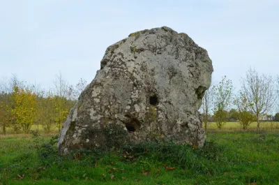
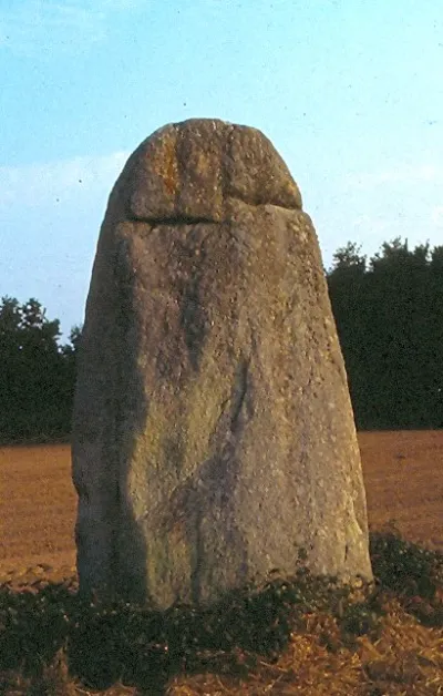
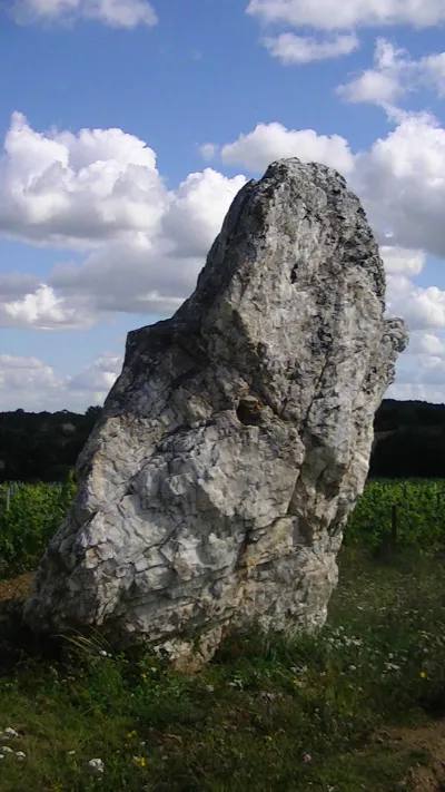
| Briangault Menhir | Tourist site | 120 m max | 0 | |||
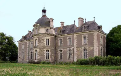
| Briord Castle | Tourist site | 50 m max | 0 | |||
| Castle | Tourist site | 120 m max | 0 | |||
| Castle | Tourist site | 120 m max | 0 | |||
| Castle known as "of Gilles de Retz" and Stronghold | Tourist site | 120 m max | 0 | |||
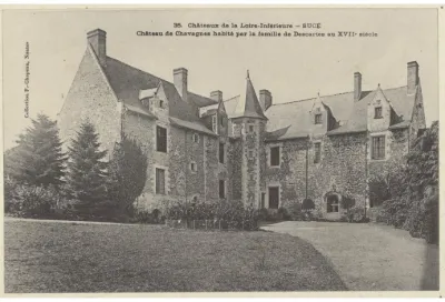
| Chavagne Castle | Tourist site | 120 m max | 0 | |||
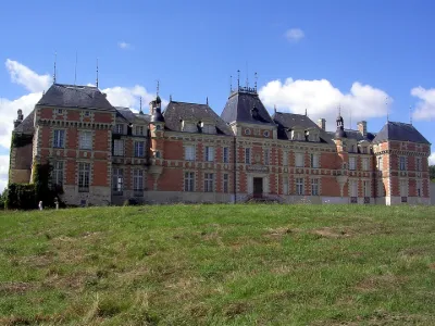
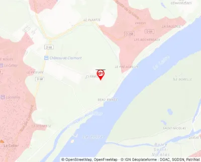
| Clermont Castle | Tourist site | 120 m max | 0 | |||
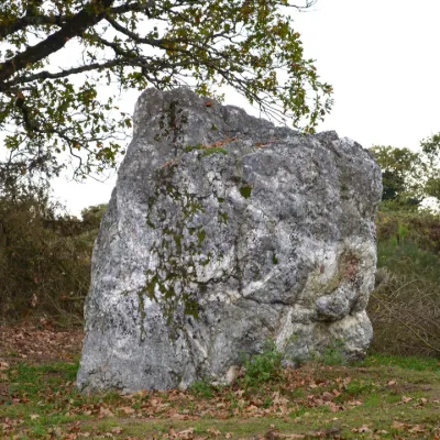
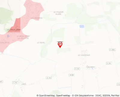
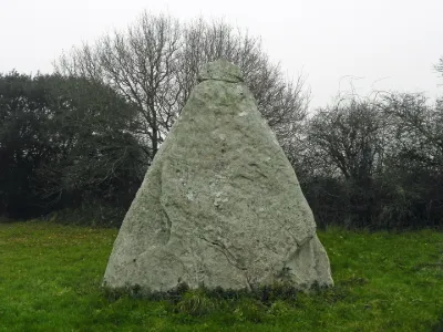
| Couëbrac Menhir | Tourist site | 120 m max | 7 | |||
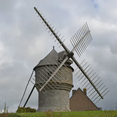
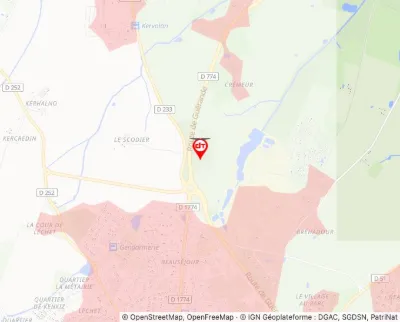
| Crémeur Mill | Tourist site | 120 m max | 0 | |||
| Cup-marked Menhir | Tourist site | 50 m max | 0 | |||
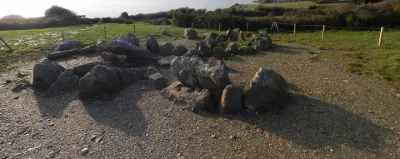
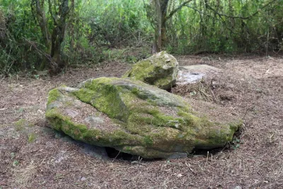
| Dolmen Gallery Grave | Tourist site | 120 m max | 0 | |||
| Dolmen known as de la Briordais | Tourist site | 30 m max | 0 | |||
| Dolmen known as La Pierre Creusée | Tourist site | 120 m max | 0 | |||
| Dolmen known as La Salle des Fées | Tourist site | 120 m max | 0 | |||
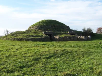
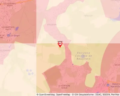
| Dolmen under Tumulus, at the place called Dissignac | Tourist site | 50 m max | 0 | |||
| Gascherie Castle | Tourist site | 120 m max | 0 | |||
| Goulaine Castle | Tourist site | 120 m max | 0 | |||
| Goust Castle | Tourist site | 120 m max | 0 | |||
| Granite Outcrops Known as "Devil's Cards" | Tourist site | 120 m max | 0 | |||
| L'Epinay Castle | Tourist site | 120 m max | 0 | |||
| La Groulais Castle | Tourist site | 120 m max | 0 | |||
| La Motte-Glain Castle | Tourist site | 120 m max | 0 | |||
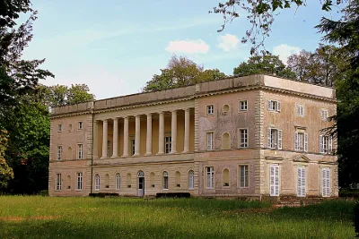
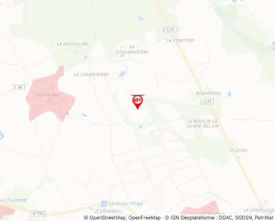
| La Noë de Bel Air Castle | Tourist site | 120 m max | 0 | |||
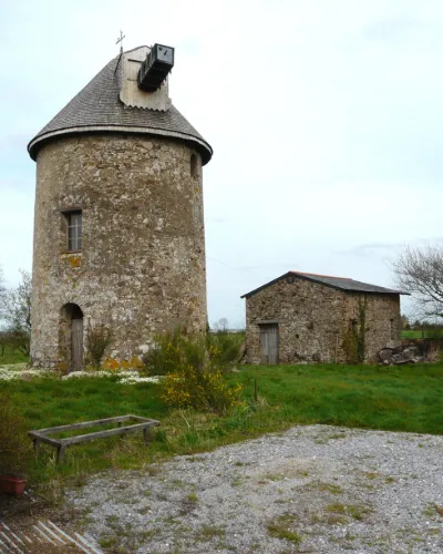
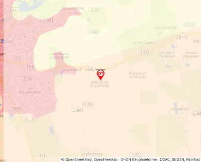
| La Quétraie Mill | Tourist site | 50 m max | 0 | |||
| La Rairie Castle | Tourist site | 30 m max | 0 | |||
| La Ramée Mill | Tourist site | 120 m max | 0 | |||
| Les Louères Menhir | Tourist site | 120 m max | 0 | |||
| Megalithic Stone called Boivre Menhir | Tourist site | 100 m max | 0 | |||
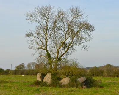
| Megalithic Tombs | Tourist site | 50 m max | 8 | |||
| Menhir | Tourist site | 50 m max | 0 | |||
| Menhir | Tourist site | 120 m max | 0 |