Drone spots: Pyrénées-Atlantiques (64)
75 spots · most viewed first · page 2 of 2
| Photo | Map | Spot | Type | Max height | Access | Views |
|---|---|---|---|---|---|---|
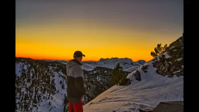
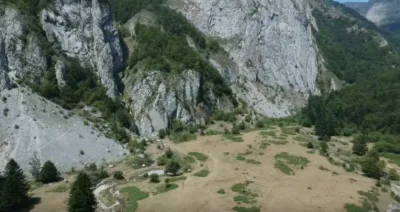
| La Pierre Saint Martin | Mountain | 120 m max | On foot < 1,000 m | 36 | ||
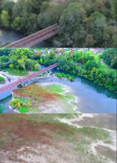
| Escos | Water | 50 m max | Direct access by car | 36 | ||
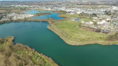
| Chemain laa passades | Water | 120 m max | Direct access by car | 20 | ||
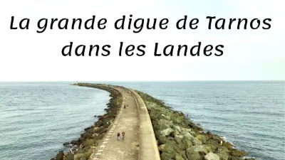
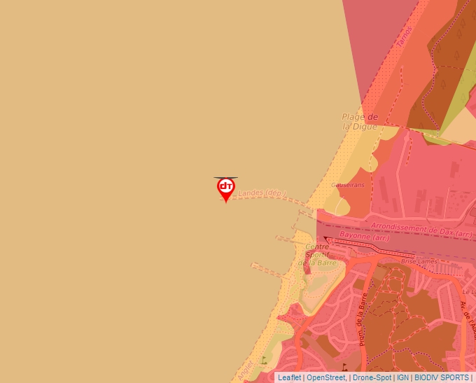
| Tarnos | Water | 50 m max | On foot < 1,000 m | 4 | ||
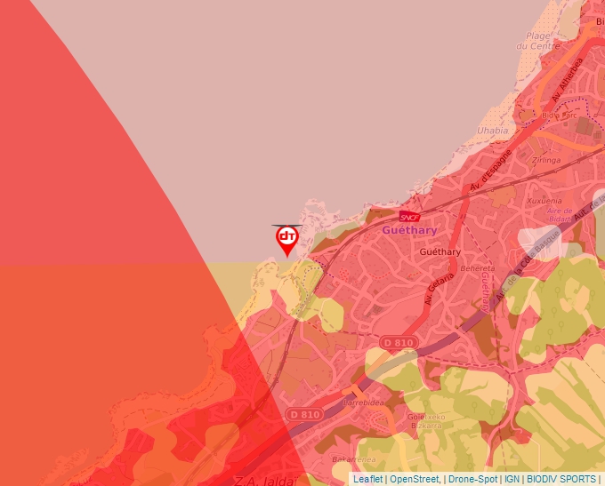
| Guéthary, Cenitz beach | Water | 30 m max | On foot < 1,000 m | 4 | ||
| The Pas de Roland | Mountain | 50 m max | On foot > 1,000 m | 4 | ||
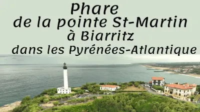
| The Biarritz lighthouse | Water | 30 m max | Direct access by car | 4 | ||
| Cirque de Lescun | Mountain | 50 m max | On foot < 1,000 m | 4 | ||
| Holzarté Footbridge | Water | 50 m max | On foot < 1,000 m | 4 | ||
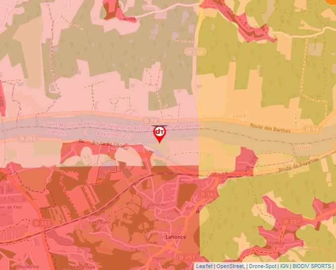
| River island of Lahonce | Water | 30 m max | On foot > 1,000 m | 3 | ||
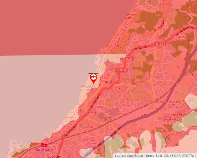
| Bidart, the viewpoint | Water | 30 m max | On foot < 1,000 m | 3 | ||
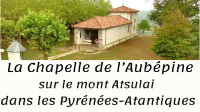
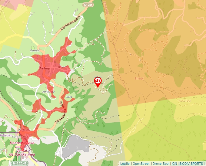
| Ainhoa, Chapel of the Hawthorn | Mountain | 120 m max | On foot > 1,000 m | 3 | ||
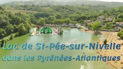
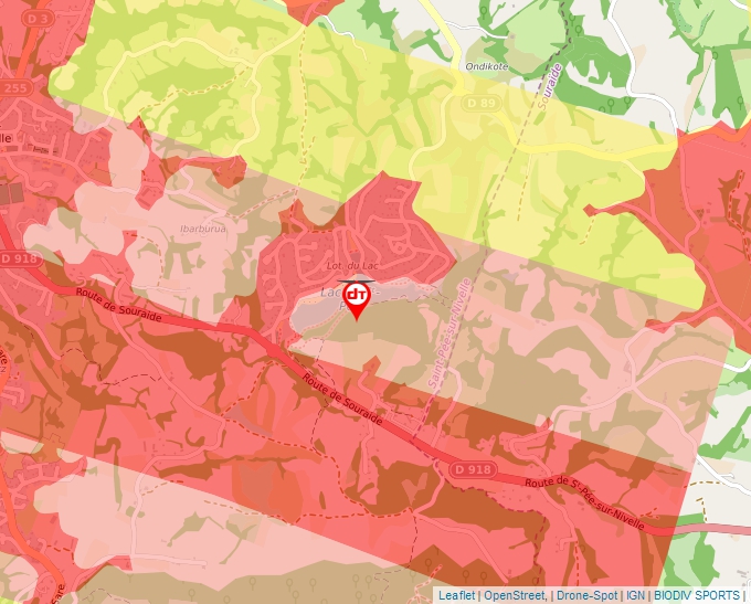
| The Lake of St-Pée sur Nivelle | Water | 30 m max | Direct access by car | 3 | ||
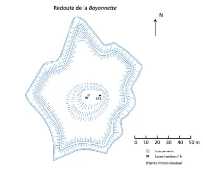
| Bayonnette Redoubt | Tourist site | 120 m max | 4 | |||
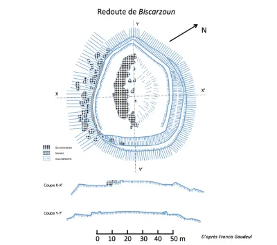
| Biscarzoun Redoubt | Tourist site | 120 m max | 0 | |||
| Bortuste Redoubt | Tourist site | 30 m max | 0 | |||
| Castle | Tourist site | 50 m max | 0 | |||
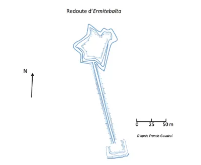
| Ermitebaita Redoubt and its Outwork | Tourist site | 120 m max | 0 | |||
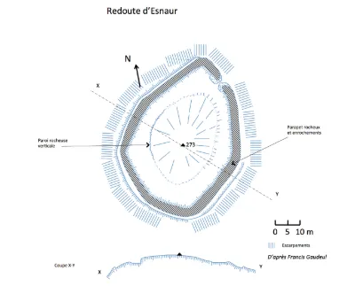
| Esnaur Redoubt | Tourist site | 120 m max | 0 | |||
| Ibarron Bridge | Tourist site | 120 m max | 0 | |||
| Madeleine Chapel Redoubt | Tourist site | 100 m max | 0 | |||
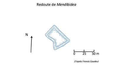
| Mendibidea Redoubt | Tourist site | 120 m max | 0 | |||
| Mouiz Entrenched Camp | Tourist site | 120 m max | 0 | |||
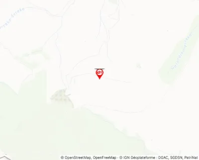
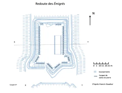
| Redoubt known as des Emigrés | Tourist site | 120 m max | 0 | |||
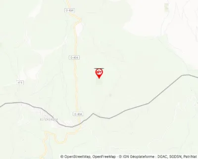
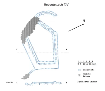
| Redoubt known as Louis XIV Redoubt (also in the commune of Urrugne) | Tourist site | 120 m max | 0 | |||
| Santa Barbara Redoubt | Tourist site | 120 m max | 0 | |||
| Souhamendi Redoubt, also known as Zuharamendy | Tourist site | 120 m max | 0 |