| Photo | Map | Spot | Type | Max height | Access | Views |
|---|---|---|---|---|---|---|
| Polset - Saint André | Mountain | 120 m max | Direct access by car | 31 | ||
| Mont Charvais - Saint-Baldoph | Mountain | 100 m max | On foot < 1,000 m | 31 | ||
| Roc Marchand - Grand Naves | Mountain | 120 m max | On foot > 1,000 m | 31 | ||
| Le Grand Jouéret - Curienne | Mountain | 50 m max | On foot > 1,000 m | 31 | ||
| La Plagne - Les Colosses | Mountain | 50 m max | On foot > 1,000 m | 30 | ||
| Tour de l'Angle Est - Le Montcel | Mountain | 120 m max | On foot < 1,000 m | 30 | ||
| Rocher de Manettaz - La Thuile | Mountain | 120 m max | On foot > 1,000 m | 30 | ||
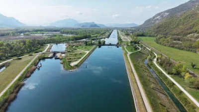
| Port de Châtillon - Chindrieux | Water | 120 m max | On foot < 1,000 m | 29 | ||
| Croix de Beauvoir - Chindrieux | Heritage | 120 m max | On foot > 1,000 m | 29 | ||
| La tourbière des Creusates - Saint François de Sales | Water | 120 m max | On foot > 1,000 m | 28 | ||
| Tour des Ébats - Le Montcel | Mountain | 120 m max | On foot < 1,000 m | 28 | ||
| Col du Potat - Routhennes | Mountain | 120 m max | On foot > 1,000 m | 28 | ||
| Monchavin | Mountain | 120 m max | On foot > 1,000 m | 27 | ||
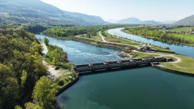
| The Motz dam on the Rhône - Motz | Water | 30 m max | Direct access by car | 26 | ||
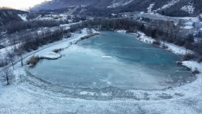
| L'Étang bleu - Vions | Water | 30 m max | On foot < 1,000 m | 26 | ||
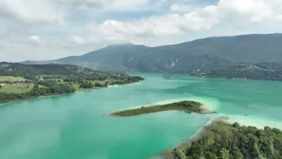
| Lake Aiguebelette - Lépin-le-Lac Beach | Water | 120 m max | On foot < 1,000 m | 26 | ||
| Lac Noir | Mountain | 120 m max | On foot > 1,000 m | 26 | ||
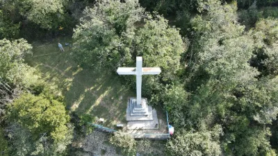
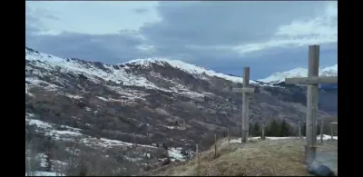
| The Three Crosses | Mountain | 100 m max | On foot < 1,000 m | 26 | ||
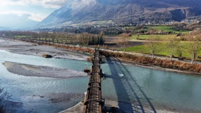
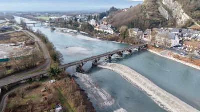
| The Victor-Emmanuel bridge, also called the Pont des Anglais | Heritage | 120 m max | Direct access by car | 25 | ||
| Le Sire | Mountain | 120 m max | Direct access by car | 23 | ||
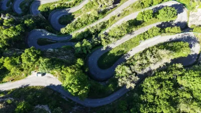
| The hairpins of Montvernier | Unusual | 120 m max | Direct access by car | 22 | ||
| Chautagne Dam - Anglefort | Water | 120 m max | On foot < 1,000 m | 22 | ||
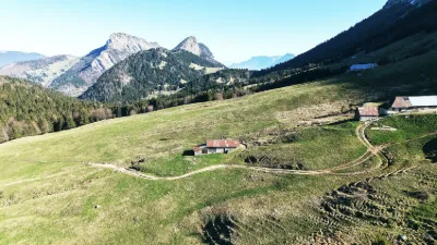
| Chalet du Golet - Doucy-en-Bauges | Mountain | 120 m max | On foot > 1,000 m | 21 | ||
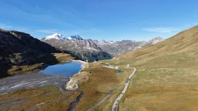
| Lac du Saut - Tignes | Mountain | 100 m max | Direct access by car | 19 | ||
| Le Monal - Sainte-Foy-Tarentaise | Mountain | 120 m max | On foot > 1,000 m | 18 | ||
| Col des Prés | Mountain | 120 m max | Direct access by car | 17 | ||
| Lac de La Thuile - La Thuile | Water | 120 m max | On foot < 1,000 m | 15 | ||
| Lac Crintallia - Les Ménuires | Water | 120 m max | On foot > 1,000 m | 14 | ||
| Lac Noir - Les Ménuires | Water | 120 m max | On foot > 1,000 m | 14 | ||
| Le Pont de Coise - Coise | Not specified | 120 m max | Direct access by car | 13 | ||
| LAKE AIGUEBELETTE 2025 | Water | 120 m max | On foot < 1,000 m | 13 | ||
| Château de Montmayeur | Heritage | 120 m max | On foot < 1,000 m | 13 | ||
| La Paleu - Les Déserts | Mountain | 100 m max | On foot < 1,000 m | 12 | ||
| Les Vincendières - Bessans | Mountain | 120 m max | On foot < 1,000 m | 12 | ||
| Lac d'Aiguebelette | Water | 120 m max | On foot < 1,000 m | 12 | ||
| Lac des Oudins - Villargondran | Water | 120 m max | Direct access by car | 11 | ||
| Le Mollard du Pinet - Les Marches | Mountain | 120 m max | On foot < 1,000 m | 11 | ||
| Avérole - Bessans | Mountain | 120 m max | On foot > 1,000 m | 11 | ||
| Lac des Hurtières - Saint Alban-d'Hurtières | Water | 120 m max | Direct access by car | 10 | ||
| Lower station of the Revard cable car - Mouxy | Heritage | 120 m max | Direct access by car | 10 | ||
| Les Remollard - La Féclaz-Les Déserts | Mountain | 120 m max | On foot < 1,000 m | 8 | ||
| The Morens bridge | Water | 120 m max | Direct access by car | 8 | ||
| Accrobranche course - La Féclaz - Les Déserts | Mountain | 120 m max | On foot < 1,000 m | 8 | ||
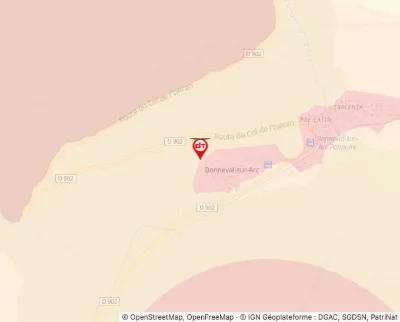
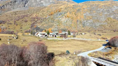
| Le ¨Petit Bonheur - Bonneval-sur-Arc | Heritage | 50 m max | Direct access by car | 7 | ||
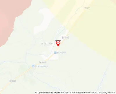
| Le Villaron - Bessans | Mountain | 120 m max | Direct access by car | 7 | ||
| The suspension bridge of Yenne | Water | 100 m max | On foot < 1,000 m | 7 | ||
| Belvédère du Molard Noir - Bourdeau | Mountain | 120 m max | On foot > 1,000 m | 6 | ||
| Paragliding take-off site of the Chat - Saint Paul-sur-Yenne | Mountain | 120 m max | On foot < 1,000 m | 6 |