Spots de drone : Finistère (29)
242 spots · les plus consultés d'abord · page 3 sur 6
| Photo | Carte | Spot | Type | Hauteur max | Accès | Vues |
|---|---|---|---|---|---|---|
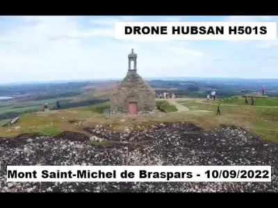
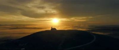
| Mont Saint-Michel de Braspars | Patrimoine | 120 m max | Accès direct en voiture | 57 | ||
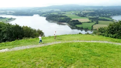
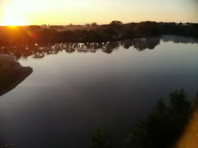
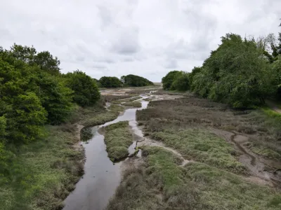
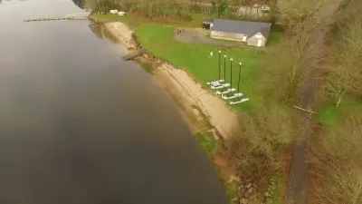
| Étang de Rosporden | Insolite | 120 m max | Accès à pied < 1 000 m | 57 | ||
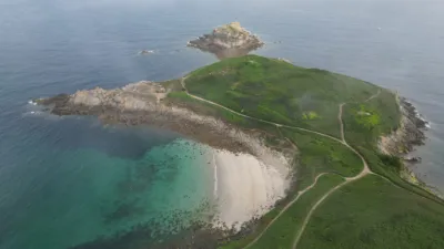
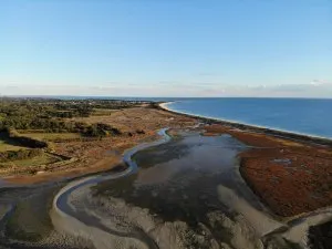
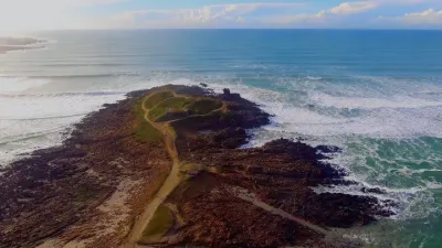
| Plage de la Torche | Eau | 50 m max | Accès à pied < 1 000 m | 57 | ||
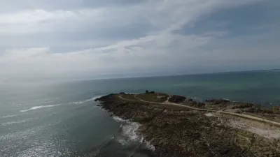
| Pointe de Tréfeuntec | Eau | 120 m max | Accès direct en voiture | 57 | ||
| Belvédère de Rosnoën | Eau | 120 m max | Accès direct en voiture | 56 | ||
| Presqu'île de Kermorvan | Patrimoine | 120 m max | Accès à pied < 1 000 m | 56 | ||
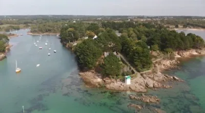
| Gr34 sentier du Minaouet entrée rivière du Minaouet et phare balise | Eau | 120 m max | Accès à pied < 1 000 m | 54 | ||
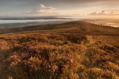
| Menez-Hom | Insolite | 120 m max | Accès direct en voiture | 54 | ||
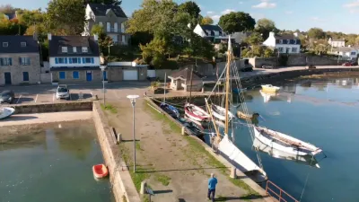
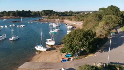
| Vieux Port Laforet | Eau | 120 m max | Accès direct en voiture | 53 | ||
| Le Mont Saint-Michel de Brasparts | Eau | 120 m max | Accès direct en voiture | 51 | ||
| Rosporden | Eau | 120 m max | Accès à pied < 1 000 m | 48 | ||
| Mer Blanche | Eau | 120 m max | Accès direct en voiture | 48 | ||
| Fouesnant | Eau | 120 m max | Accès direct en voiture | 48 | ||
| Pouldohan | Eau | 120 m max | Accès direct en voiture | 47 | ||
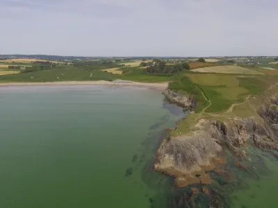
| Anse de Kervijen | Eau | 30 m max | Accès à pied < 1 000 m | 46 | ||
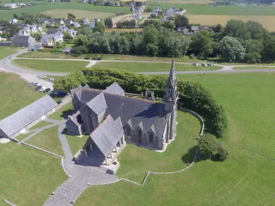
| Chapelle de Saint Anne la Palud | Patrimoine | 30 m max | Accès direct en voiture | 46 | ||
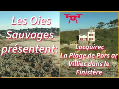
| Locquirec | Eau | 120 m max | Accès direct en voiture | 44 | ||
| Sentier du Minaouêt | Eau | 120 m max | Accès à pied < 1 000 m | 42 | ||
| Lac du drennec | Eau | 120 m max | Accès direct en voiture | 42 | ||
| Pointe de la Torche | Eau | 50 m max | Accès à pied < 1 000 m | 42 | ||
| Les Viré-Court de l'Odet | Eau | 30 m max | Accès direct en voiture | 41 | ||
| Loctudy | Eau | 120 m max | Accès direct en voiture | 40 | ||
| Plomeur (29) | Insolite | 50 m max | Accès à pied < 1 000 m | 36 | ||
| Tregunc (29) | Eau | 120 m max | Accès à pied < 1 000 m | 32 | ||
| L'Aber Wra'ch, Finistère | Eau | 120 m max | Accès à pied < 1 000 m | 28 | ||
| Kervel | Eau | 120 m max | Accès à pied < 1 000 m | 22 | ||
| Le port de Lampaul | Eau | 120 m max | Accès direct en voiture | 16 | ||
| Plage de sainte marine | Eau | 120 m max | Accès direct en voiture | 11 | ||
| Pointe de Tréfeuntec | Eau | 120 m max | Accès à pied < 1 000 m | 8 | ||
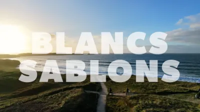
| Plage des Blancs Sablons | Eau | 120 m max | Accès à pied < 1 000 m | 7 | ||
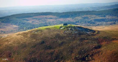
| Les Monts d'Arrée - Plounéour-Ménez | Eau | 120 m max | Accès à pied < 1 000 m | 6 | ||
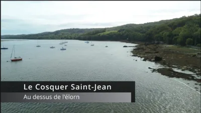
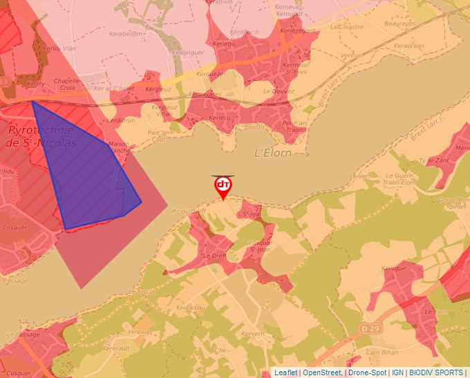
| Le Cosquer Saint-Jean (29470 Plougastel-Daoulas) | Eau | 50 m max | Accès à pied < 1 000 m | 4 | ||
| La torche | Eau | 50 m max | Accès à pied < 1 000 m | 4 | ||
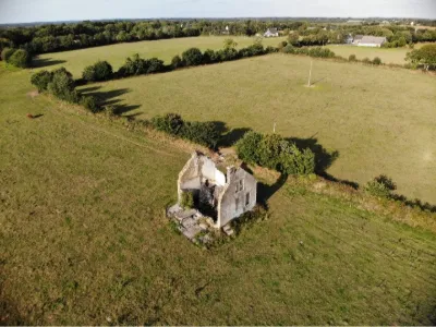
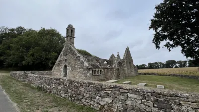
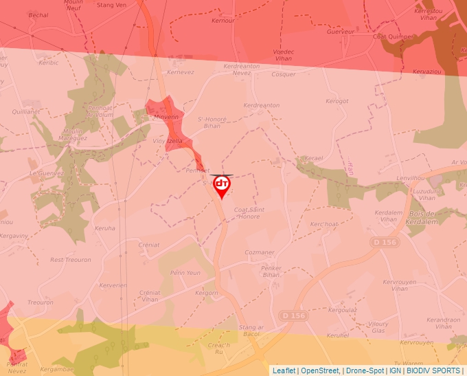
| Ruines Chapelle Saint Honoré, 29710 Ploneour Lanvern | Patrimoine | 30 m max | Accès direct en voiture | 3 | ||
| Alignement de Traonigou | Lieu touristique | 120 m max | 0 | |||
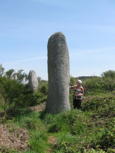
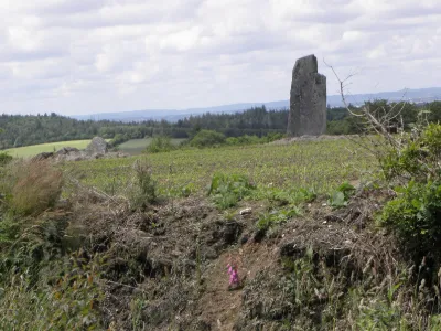
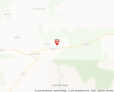
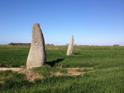
| Alignement des menhirs de Trimen | Lieu touristique | 120 m max | 0 | |||
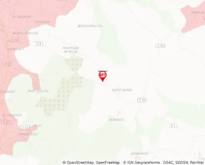
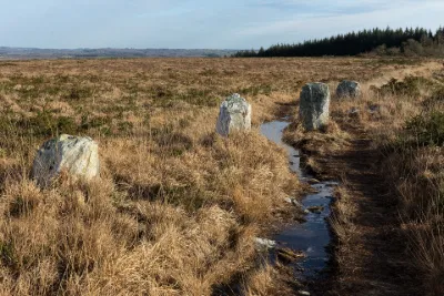
| Alignement formé par les quatre menhirs de Saint-Denec | Lieu touristique | 120 m max | 0 | |||
| Alignements d'An Eured Veign | Lieu touristique | 120 m max | 0 | |||
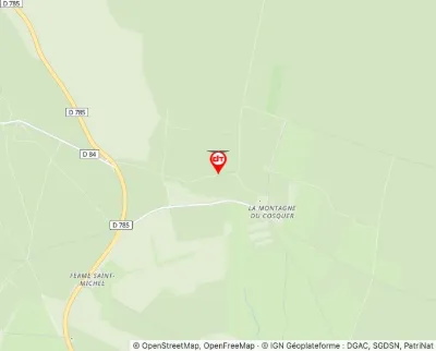
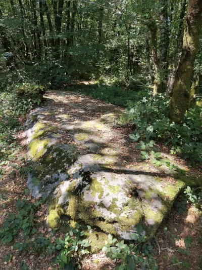
| Alignements de menhirs dits Bois du Duc | Lieu touristique | 60 m max | 0 | |||
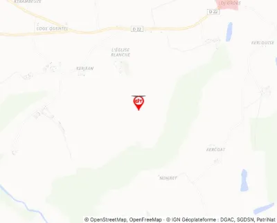
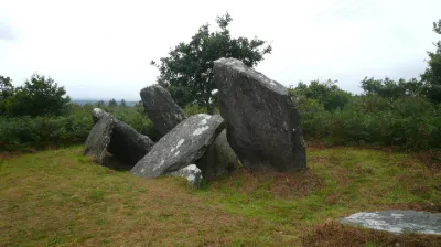
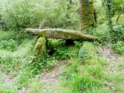
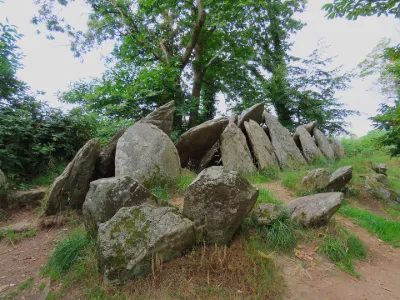
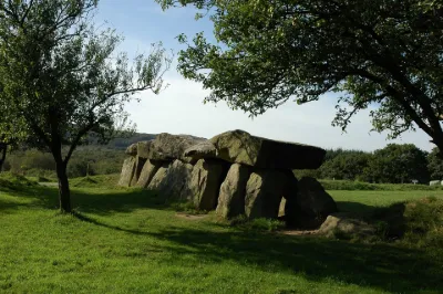
| Allée couverte | Lieu touristique | 120 m max | 0 | |||
| Allée couverte | Lieu touristique | 120 m max | 0 | |||
| Allée couverte à dalles inclinées de Castel-Ruffel | Lieu touristique | 100 m max | 0 | |||
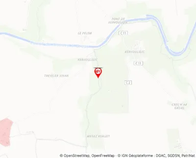
| Allée couverte de Kervonlédic | Lieu touristique | 120 m max | 0 | |||
| Allée couverte de Lesconil dite Ty-arc'horriquet | Lieu touristique | 120 m max | 0 | |||
| Allée couverte de Mougau | Lieu touristique | 120 m max | 0 | |||
| Allée couverte de Pont-ar-Bleiz | Lieu touristique | 120 m max | 0 | |||
| Allée couverte de Ty-ar-c'horriket | Lieu touristique | 120 m max | 0 | |||
| Allée couverte dite Loch-ar-Ronfl | Lieu touristique | 120 m max | 0 |