

Capo Coda Cavallo - San Teodoro
No reviews yet
Have you flown here? Share your experience with other pilots.
+ Write the first reviewDescription
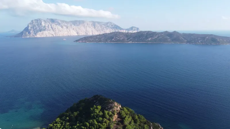
Capo Coda Cavallo - San Teodoro - Sardegna - Drone 4K/UHD - 2021
Capo Coda Cavallo is a strongly tourist-oriented locality in the municipality of San Teodoro, in the province of Sassari, and forms the extreme tip of the Sardinian mainland facing north toward the Tyrrhenian Sea, stretching out toward the islands of Proratora, Molara and Tavolara. Besides the splendid view of the islands, the beach at Capo Coda Cavallo boasts clear water and very fine sand set in the Mediterranean scrub. The small peninsula is part of the Tavolara-Punta Coda Cavallo Marine Protected Area and has coves and cliffs surrounded by vegetation of strawberry tree, juniper and mastic.
The bay of Capo Coda Cavallo is bounded to the north by the limestone walls that make up the aforementioned islets, while all around there are panoramic residences and private villas built in Sardinian stone, perfectly blended into the surrounding landscape. The area has several services, mainly around Piazzetta Blu Panorama, where, among the notes of lounge music from the bars and restaurants, you can watch sailboats dancing in the bay. The marine area offers tourists renowned beaches such as Cala Brandinchi - known as little "Tahiti" - Baia Salinedda, Cala Coda Cavallo, Salina Bamba and Cala Suaraccia.
The ecosystem around the island of Tavolara has remained intact thanks to the difficulty of landing, and to this day pine woods and unique botanical species survive in the area, such as a particular variety of geranium, Erodium coricum, and an endemic plant called Asperula deficiens. Capo Coda Cavallo can be reached via the strada statale 125 Orientale Sarda, turning left toward San Teodoro, 2 kilometers after the Monte Petrosu road maintenance station; or by sea from Porto San Paolo and, in summer, with private boats from Olbia and Golfo Aranci. In the Tavolara-Punta Coda Cavallo Marine Protected Area, environmental education weeks for schools, photography contests and guided tours are organized periodically. Nearby you will also find the beautiful coves of Puntaldia and the hiking trails of Monte Nieddu (in Padru).
Map and restricted areas
Open in the main mapAviation weather (METAR and TAF)
LIEO – Olbia Costa Smeralda Airport VFR
METAR
METAR LIEO 211050Z AUTO 24012KT 9999 // OVC160/// 17/11 Q1020
- Wind
- 240°, 22 km/h
- Visibility
- 10 km or more
- Clouds
- Overcast (8/8) at 16,000 ft (4880 m)
- Temperature
- 17 °C, dew point 11 °C
- QNH
- 1020 hPa
- Flight category
- VFR: ceiling > 3,000 ft and visibility > 5 mi
TAF
TAF LIEO 210500Z 2106/2206 28015KT 9999 FEW040 BECMG 2118/2120 VRB05KT
| Period (local time) | Change | Wind | Visibility | Weather | Clouds |
|---|---|---|---|---|---|
| 21/11 07:00 → 21/11 19:00 | Initial conditions | 280°, 28 km/h | 10 km or more | Few (1-2/8) at 4,000 ft (1220 m) | |
| 21/11 19:00 → 22/11 07:00 | Becoming | Variable, 9 km/h | 10 km or more | Few (1-2/8) at 4,000 ft (1220 m) |
Weather and Kp index
Sunrise and sunset
| Day | Dawn | Sunrise | Golden hour | Sunset | Dusk | Day length |
|---|---|---|---|---|---|---|
| Sat 21 Nov | 06:45 | 07:15 | 07:15–07:57 · 16:17–16:59 | 16:59 | 17:29 | 9 h 43 |
| Sun 22 Nov | 06:47 | 07:16 | 07:16–07:58 · 16:16–16:58 | 16:58 | 17:28 | 9 h 41 |
| Mon 23 Nov | 06:48 | 07:17 | 07:17–07:59 · 16:16–16:58 | 16:58 | 17:27 | 9 h 40 |
| Tue 24 Nov | 06:49 | 07:19 | 07:19–08:01 · 16:15–16:57 | 16:57 | 17:27 | 9 h 38 |
| Wed 25 Nov | 06:50 | 07:20 | 07:20–08:02 · 16:14–16:57 | 16:57 | 17:27 | 9 h 36 |
| Thu 26 Nov | 06:51 | 07:21 | 07:21–08:03 · 16:14–16:56 | 16:56 | 17:26 | 9 h 35 |
| Fri 27 Nov | 06:52 | 07:22 | 07:22–08:04 · 16:13–16:56 | 16:56 | 17:26 | 9 h 33 |
Nearby on Wikipedia
Nearby spots
 Water
Spiaggia di Lu Impostu, TOP 11 most BEAUTIFUL BEACHES in SARDINIA
 Water
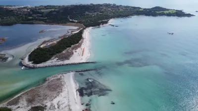
Spiaggia La Cinta e Stagno di San Teodoro - Sardegna
 Water
Spiaggia La Cinta, TOP 11 most BEAUTIFUL BEACHES in SARDINIA
 Water
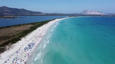
Spiaggia La Cinta - San Teodoro
 Water
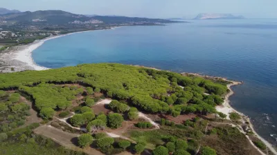
Spiaggia Sa Capannizza - Pineta Sant'Anna
 Water
Spiaggia di Porto Ainu - Pineta Sant'Anna
Reviews
Log in to review this spot. Log in · Create a free account
No reviews yet. Share yours!