

Spiaggia La Cinta e Stagno di San Teodoro - Sardegna
No reviews yet
Have you flown here? Share your experience with other pilots.
+ Write the first reviewDescription
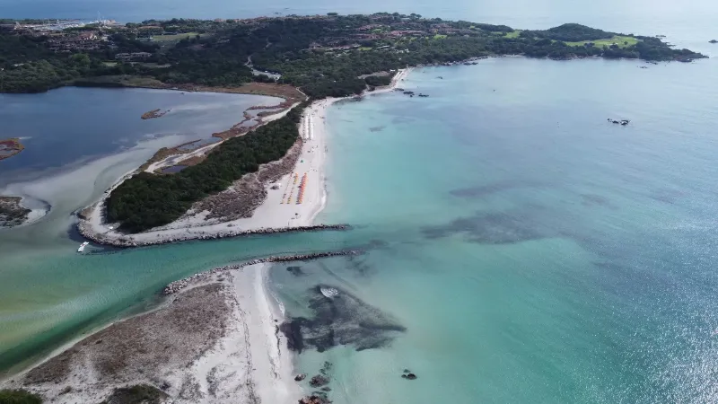
Spiaggia La Cinta e Stagno di San Teodoro - Sardegna - Drone 4K/UHD - 2021
The Stagno di San Teodoro, also known as the San Teodoro Lagoon, is a Site of Community Importance (SIC) included in the list of special areas of conservation and in the Tavolara-Punta Coda Cavallo Marine Protected Area.
Belonging to the municipality of the same name in the province of Sassari, the pond lies behind Spiaggia La Cinta and covers about two hundred and forty hectares, with a depth ranging between seventy and one hundred and twenty centimeters.
Accessible and open to visitors along a few specific trails marked out by wooden fences, the San Teodoro pond is a true natural treasure, rich in extraordinary plant and animal species that make its ecosystem an exceptional biological heritage.
The habitat of the San Teodoro lagoon is in fact home to splendid endemic species and marsh and marine specimens, surrounded by the dense, lush vegetation typical of the Mediterranean scrub; among the animal species living in the lagoon's natural environment, it is worth mentioning sea bass, gilthead bream, mullet and the birdlife that nests and migrates here, made up mostly of cormorants, herons, kingfishers, marsh harriers, kestrels and pink flamingos.
The banks of the San Teodoro pond are also surrounded by long stretches of glasswort, green or red depending on the season, and the trails are immersed in fragrant, luxuriant vegetation made up mostly of mastic, broom, myrtle, cork oaks, aromatic herbs, juniper, wild olive and wild orchids.
Map and restricted areas
Open in the main mapAviation weather (METAR and TAF)
LIEO – Olbia Costa Smeralda Airport VFR
METAR
METAR LIEO 211050Z AUTO 24012KT 9999 // OVC160/// 17/11 Q1020
- Wind
- 240°, 22 km/h
- Visibility
- 10 km or more
- Clouds
- Overcast (8/8) at 16,000 ft (4880 m)
- Temperature
- 17 °C, dew point 11 °C
- QNH
- 1020 hPa
- Flight category
- VFR: ceiling > 3,000 ft and visibility > 5 mi
TAF
TAF LIEO 210500Z 2106/2206 28015KT 9999 FEW040 BECMG 2118/2120 VRB05KT
| Period (local time) | Change | Wind | Visibility | Weather | Clouds |
|---|---|---|---|---|---|
| 21/11 07:00 → 21/11 19:00 | Initial conditions | 280°, 28 km/h | 10 km or more | Few (1-2/8) at 4,000 ft (1220 m) | |
| 21/11 19:00 → 22/11 07:00 | Becoming | Variable, 9 km/h | 10 km or more | Few (1-2/8) at 4,000 ft (1220 m) |
Weather and Kp index
Sunrise and sunset
| Day | Dawn | Sunrise | Golden hour | Sunset | Dusk | Day length |
|---|---|---|---|---|---|---|
| Sat 21 Nov | 06:46 | 07:15 | 07:15–07:57 · 16:17–16:59 | 16:59 | 17:29 | 9 h 43 |
| Sun 22 Nov | 06:47 | 07:16 | 07:16–07:58 · 16:17–16:58 | 16:58 | 17:28 | 9 h 42 |
| Mon 23 Nov | 06:48 | 07:18 | 07:18–07:59 · 16:16–16:58 | 16:58 | 17:28 | 9 h 40 |
| Tue 24 Nov | 06:49 | 07:19 | 07:19–08:01 · 16:15–16:57 | 16:57 | 17:27 | 9 h 38 |
| Wed 25 Nov | 06:50 | 07:20 | 07:20–08:02 · 16:15–16:57 | 16:57 | 17:27 | 9 h 37 |
| Thu 26 Nov | 06:51 | 07:21 | 07:21–08:03 · 16:14–16:56 | 16:56 | 17:26 | 9 h 35 |
| Fri 27 Nov | 06:52 | 07:22 | 07:22–08:04 · 16:14–16:56 | 16:56 | 17:26 | 9 h 33 |
Nearby on Wikipedia
Nearby spots
 Water
Spiaggia La Cinta, TOP 11 most BEAUTIFUL BEACHES in SARDINIA
 Water
Spiaggia di Lu Impostu, TOP 11 most BEAUTIFUL BEACHES in SARDINIA
 Water
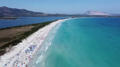
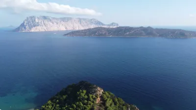
Spiaggia La Cinta - San Teodoro
 Water
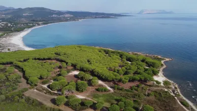
Capo Coda Cavallo - San Teodoro
 Water
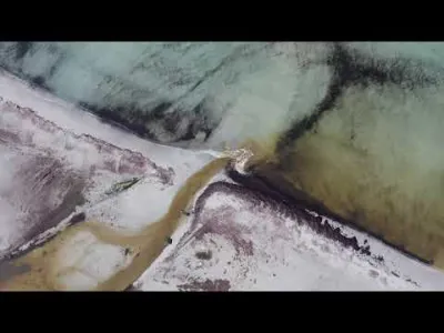
Spiaggia Sa Capannizza - Pineta Sant'Anna
 Water
Spiaggia di Porto Ainu - Pineta Sant'Anna
Reviews
Log in to review this spot. Log in · Create a free account
No reviews yet. Share yours!