

Spiaggia di Porto Ainu - Pineta Sant'Anna
No reviews yet
Have you flown here? Share your experience with other pilots.
+ Write the first reviewDescription
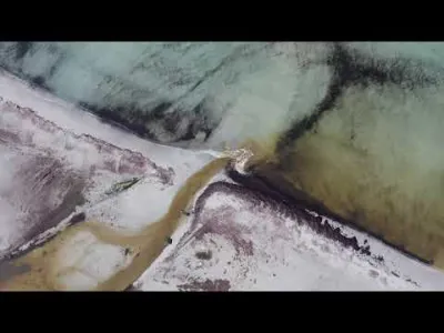
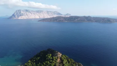
Spiaggia di Porto Ainu - Pineta Sant'Anna - Budoni - Sardegna - Drone 4K/UHD - 2021
Porto Ainu is a coastal hamlet belonging to the municipality of Budoni, in the province of Sassari, on the east coast of Sardinia. This seaside resort is visited mostly in the summer months by tourists who come here to enjoy the sea and the sun. With its residences, Porto Ainu looks south onto the beaches of Pineta di Sant'Anna and north onto Spiaggia di Sant'Anna, wonderful bays far from the chaos of mass tourism.
Within the hamlet there are few services, open seasonally in July and August: a few snack bars and small markets. Most services are instead found in Tanaunella (a residential area one kilometer away) and in the center of Budoni (three kilometers away, as is the long sandy beach of Marina di Budoni). The Porto Ainu shoreline is characterized by dense pine woods by the sea, where you can relax on the hottest days, by medium-grain sand, small dunes, and a medium-to-deep seabed.
The waters are turquoise and transparent, with a few rocks (the area is suitable for snorkeling). The main beaches are separated by the small promontory of Punta dell'Asino, from which you can admire the vastness of the sea. The beach that takes the hamlet's name (Spiaggia di Portu Ainu) is instead two kilometers away, in the direction of Baia Sant'Anna, near the Sant'Anna nuraghe and the Neolithic village.
Map and restricted areas
Open in the main mapAviation weather (METAR and TAF)
LIEO – Olbia Costa Smeralda Airport VFR
METAR
METAR LIEO 211050Z AUTO 24012KT 9999 // OVC160/// 17/11 Q1020
- Wind
- 240°, 22 km/h
- Visibility
- 10 km or more
- Clouds
- Overcast (8/8) at 16,000 ft (4880 m)
- Temperature
- 17 °C, dew point 11 °C
- QNH
- 1020 hPa
- Flight category
- VFR: ceiling > 3,000 ft and visibility > 5 mi
TAF
TAF LIEO 210500Z 2106/2206 28015KT 9999 FEW040 BECMG 2118/2120 VRB05KT
| Period (local time) | Change | Wind | Visibility | Weather | Clouds |
|---|---|---|---|---|---|
| 21/11 07:00 → 21/11 19:00 | Initial conditions | 280°, 28 km/h | 10 km or more | Few (1-2/8) at 4,000 ft (1220 m) | |
| 21/11 19:00 → 22/11 07:00 | Becoming | Variable, 9 km/h | 10 km or more | Few (1-2/8) at 4,000 ft (1220 m) |
Weather and Kp index
Sunrise and sunset
| Day | Dawn | Sunrise | Golden hour | Sunset | Dusk | Day length |
|---|---|---|---|---|---|---|
| Sat 21 Nov | 06:45 | 07:15 | 07:15–07:56 · 16:18–16:59 | 16:59 | 17:29 | 9 h 44 |
| Sun 22 Nov | 06:46 | 07:16 | 07:16–07:57 · 16:17–16:58 | 16:58 | 17:28 | 9 h 42 |
| Mon 23 Nov | 06:47 | 07:17 | 07:17–07:59 · 16:16–16:58 | 16:58 | 17:28 | 9 h 40 |
| Tue 24 Nov | 06:48 | 07:18 | 07:18–08:00 · 16:15–16:57 | 16:57 | 17:27 | 9 h 39 |
| Wed 25 Nov | 06:49 | 07:19 | 07:19–08:01 · 16:15–16:57 | 16:57 | 17:27 | 9 h 37 |
| Thu 26 Nov | 06:50 | 07:20 | 07:20–08:02 · 16:14–16:56 | 16:56 | 17:26 | 9 h 36 |
| Fri 27 Nov | 06:51 | 07:21 | 07:21–08:04 · 16:14–16:56 | 16:56 | 17:26 | 9 h 34 |
Nearby on Wikipedia
Nearby spots
 Water
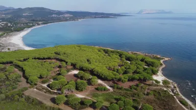
Spiaggia Sa Capannizza - Pineta Sant'Anna
 Water
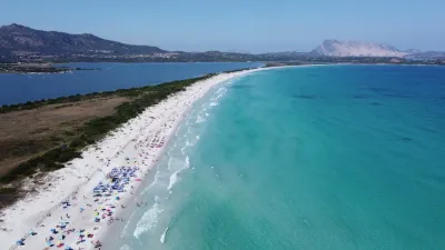
Spiaggia La Cinta - San Teodoro
 Water
Spiaggia La Cinta, TOP 11 most BEAUTIFUL BEACHES in SARDINIA
 Water
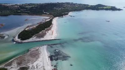
Spiaggia La Cinta e Stagno di San Teodoro - Sardegna
 Water
Spiaggia di Lu Impostu, TOP 11 most BEAUTIFUL BEACHES in SARDINIA
 Water
Capo Coda Cavallo - San Teodoro
Reviews
Log in to review this spot. Log in · Create a free account
No reviews yet. Share yours!