

Spiaggia Sa Capannizza - Pineta Sant'Anna
No reviews yet
Have you flown here? Share your experience with other pilots.
+ Write the first reviewDescription
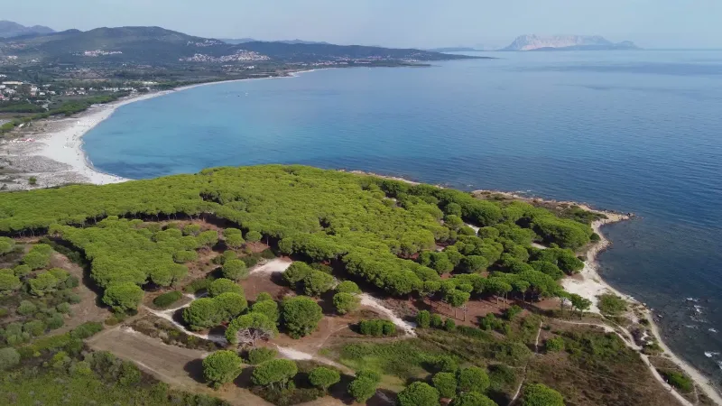
Spiaggia Sa Capannizza - Pineta Sant'Anna - Budoni - Sardegna - Drone 4K/UHD - 2021
Sa Capannizza is a small stretch of beach that belongs to Spiaggia di Budoni and forms its southern end. The shore, of medium-grain sand, is flanked by a dense pine wood. The scenery is similar to that of the neighboring beaches: in the distance you can see majestic granite rocks and the lush vegetation typical of the Mediterranean scrub.
The sea is clear and fairly sheltered from the wind. The seabed is shallow and mostly rich in rocks, which encourage visitors to try snorkeling.
The only drawback of the little Sa Capannizza beach is the presence of posidonia, which covers part of the shore and the water. It does, however, indicate that the sea is clean, and it is often carried out to open water by the sea breeze that characterizes all of Sardinia.
Map and restricted areas
Open in the main mapAviation weather (METAR and TAF)
LIEO – Olbia Costa Smeralda Airport VFR
METAR
METAR LIEO 211050Z AUTO 24012KT 9999 // OVC160/// 17/11 Q1020
- Wind
- 240°, 22 km/h
- Visibility
- 10 km or more
- Clouds
- Overcast (8/8) at 16,000 ft (4880 m)
- Temperature
- 17 °C, dew point 11 °C
- QNH
- 1020 hPa
- Flight category
- VFR: ceiling > 3,000 ft and visibility > 5 mi
TAF
TAF LIEO 210500Z 2106/2206 28015KT 9999 FEW040 BECMG 2118/2120 VRB05KT
| Period (local time) | Change | Wind | Visibility | Weather | Clouds |
|---|---|---|---|---|---|
| 21/11 07:00 → 21/11 19:00 | Initial conditions | 280°, 28 km/h | 10 km or more | Few (1-2/8) at 4,000 ft (1220 m) | |
| 21/11 19:00 → 22/11 07:00 | Becoming | Variable, 9 km/h | 10 km or more | Few (1-2/8) at 4,000 ft (1220 m) |
Weather and Kp index
Sunrise and sunset
| Day | Dawn | Sunrise | Golden hour | Sunset | Dusk | Day length |
|---|---|---|---|---|---|---|
| Sat 21 Nov | 06:45 | 07:15 | 07:15–07:56 · 16:18–16:59 | 16:59 | 17:29 | 9 h 44 |
| Sun 22 Nov | 06:46 | 07:16 | 07:16–07:58 · 16:17–16:59 | 16:59 | 17:28 | 9 h 42 |
| Mon 23 Nov | 06:47 | 07:17 | 07:17–07:59 · 16:16–16:58 | 16:58 | 17:28 | 9 h 40 |
| Tue 24 Nov | 06:48 | 07:18 | 07:18–08:00 · 16:15–16:57 | 16:57 | 17:27 | 9 h 39 |
| Wed 25 Nov | 06:49 | 07:19 | 07:19–08:01 · 16:15–16:57 | 16:57 | 17:27 | 9 h 37 |
| Thu 26 Nov | 06:50 | 07:20 | 07:20–08:02 · 16:14–16:56 | 16:56 | 17:26 | 9 h 36 |
| Fri 27 Nov | 06:51 | 07:21 | 07:21–08:04 · 16:14–16:56 | 16:56 | 17:26 | 9 h 34 |
Nearby on Wikipedia
Nearby spots
 Water
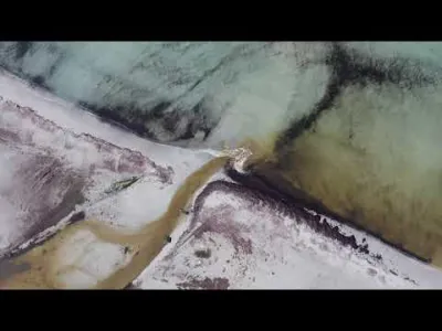
Spiaggia di Porto Ainu - Pineta Sant'Anna
 Water
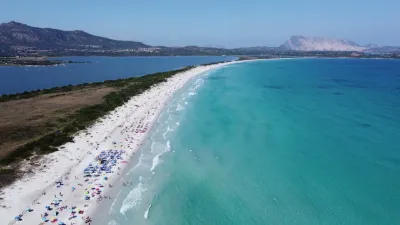
Spiaggia La Cinta - San Teodoro
 Water
Spiaggia La Cinta, TOP 11 most BEAUTIFUL BEACHES in SARDINIA
 Water
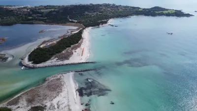
Spiaggia La Cinta e Stagno di San Teodoro - Sardegna
 Water
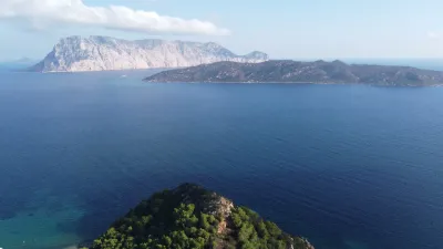
Spiaggia di Lu Impostu, TOP 11 most BEAUTIFUL BEACHES in SARDINIA
 Water
Capo Coda Cavallo - San Teodoro
Reviews
Log in to review this spot. Log in · Create a free account
No reviews yet. Share yours!