

The Saint-Sauveur Dam - Le Bersac
No reviews yet
Have you flown here? Share your experience with other pilots.
+ Write the first reviewDescription
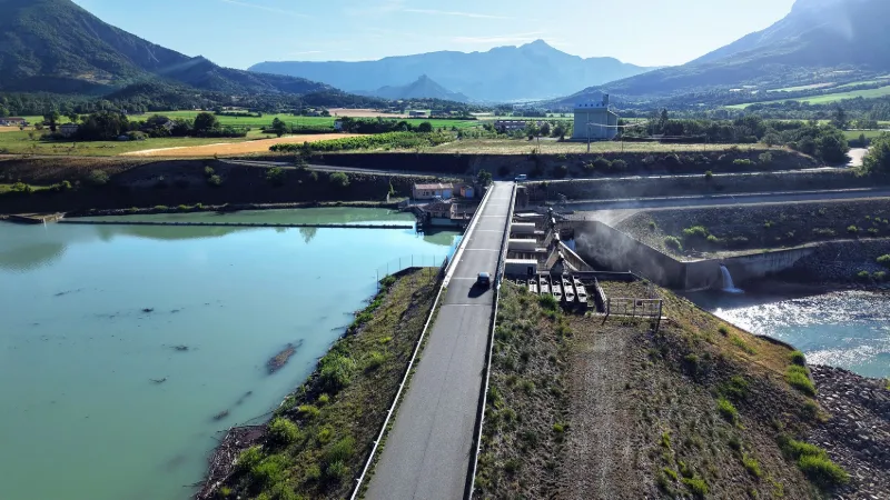
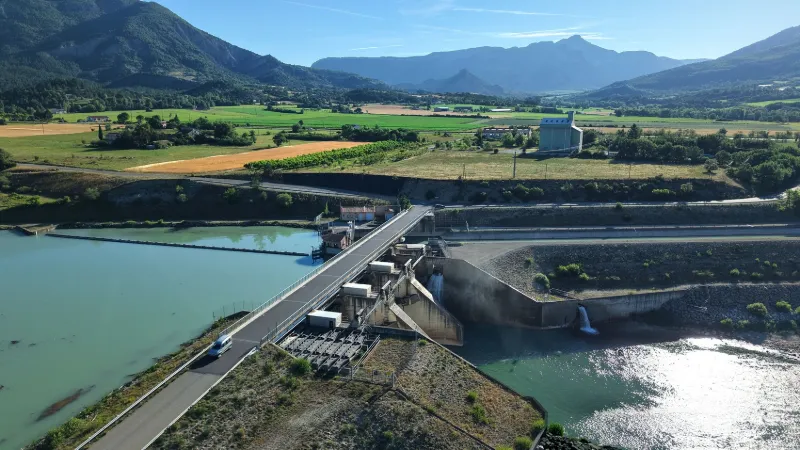
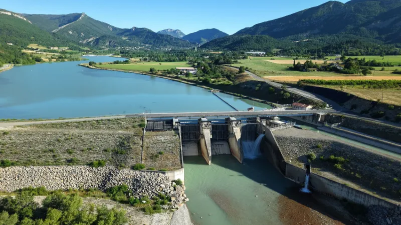
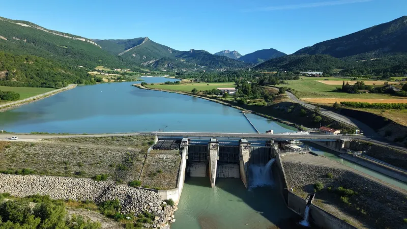
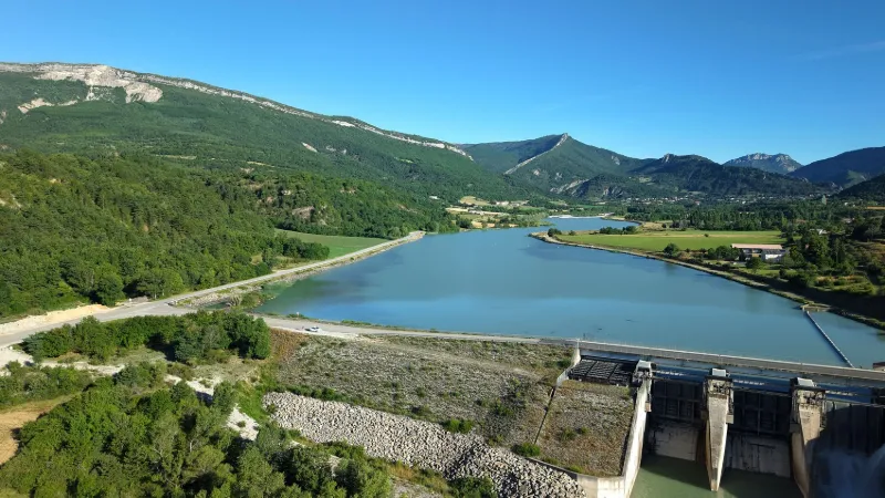
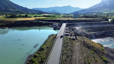
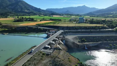
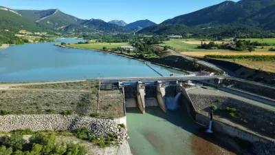
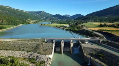
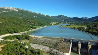
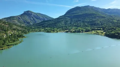
The Saint-Sauveur dam at Le Bersac is an imposing structure that elegantly dominates the landscape. Built to regulate the waters of the Buech, it combines usefulness with harmony with the surrounding nature. Its turquoise waters reflect the mountains, offering visitors a soothing sight. Accessible and well integrated into its environment, it attracts hikers and landscape lovers. A symbol of human engineering, it also serves as a place to relax and explore. A discreet jewel of the Southern Alps. Near SERRES
Map and restricted areas
Open in the main mapNearby aerodromes
Open aerodromes within 25 km of the spot, heliports included, with their distance and direction from the spot. Near an aerodrome, drone flying is prohibited or height-limited: check the UAS zones map.
| Aerodrome | Type | Distance | Elevation | Difference |
|---|---|---|---|---|
| Serres - La Bâtie-Montsaléon Airfield | Aerodrome | 6.6 km N | 715 m | spot 68 m lower |
| Altisurface du Grand Terrus | Aerodrome | 7.5 km W | 875 m | spot 228 m lower |
| Aérodrome d'Aspres-sur-Buëch | Aerodrome | 13 km N | 831 m | spot 184 m lower |
| Aérodrome de Sistéron-Vaumeilh | Aerodrome | 20 km SE | 540 m | spot 107 m higher |
Aviation weather (METAR and TAF)
No METAR station within 50 km.
Weather and Kp index
| Day | Weather | Temp. min. / max. | Wind | Rain | Max Kp |
|---|---|---|---|---|---|
| Sat 21 Nov | Fair | 5° / 14° | 9 km/h E | – | 2 |
| Sun 22 Nov | Showers | 6° / 10° | 24 km/h NW | 23 mm | 2 |
| Mon 23 Nov | Cloudy | 4° / 8° | 23 km/h NW | – | 4 |
| Tue 24 Nov | Cloudy | 2° / 10° | 13 km/h NW | 0.5 mm | 2 |
| Wed 25 Nov | Rain | 3° / 5° | 12 km/h E | 28 mm | – |
| Thu 26 Nov | Partly cloudy | -1° / 6° | 3 km/h NW | 0.6 mm | – |
| Fri 27 Nov | Clear sky | -4° / 7° | 2 km/h NW | – | – |
Hour by hour: Saturday 21 November
| Time | Weather | Temp. | Wind | Rain | Clouds | Kp |
|---|---|---|---|---|---|---|
| 12:00 | Partly cloudy | 12° | 6 km/h NW | – | 47 % | 2 |
| 13:00 | Fair | 13° | 7 km/h NW | – | 13 % | 1 |
| 14:00 | Clear sky | 14° | 8 km/h NW | – | 12 % | 1 |
| 15:00 | Partly cloudy | 14° | 9 km/h W | – | 50 % | 1 |
| 16:00 | Partly cloudy | 12° | 8 km/h W | – | 68 % | 2 |
| 17:00 | Partly cloudy | 9° | 6 km/h SW | – | 91 % | 2 |
| 18:00 | Partly cloudy | 7° | 4 km/h W | – | 84 % | 2 |
| 19:00 | Partly cloudy | 6° | 3 km/h W | – | 73 % | 2 |
| 20:00 | Partly cloudy | 5° | 2 km/h NW | – | 86 % | 2 |
| 21:00 | Cloudy | 5° | 5 km/h E | – | 100 % | 2 |
| 22:00 | Cloudy | 6° | 7 km/h E | – | 100 % | 2 |
Hour by hour: Sunday 22 November
| Time | Weather | Temp. | Wind | Rain | Clouds | Kp |
|---|---|---|---|---|---|---|
| 06:00 | Heavy rain | 6° | 11 km/h E | 2.7 mm | 100 % | 2 |
| 07:00 | Heavy rain | 6° | 11 km/h E | 4.1 mm | 100 % | 2 |
| 08:00 | Heavy rain | 7° | 10 km/h E | 2.0 mm | 100 % | 2 |
| 09:00 | Heavy rain | 8° | 12 km/h NW | 1.3 mm | 100 % | 2 |
| 10:00 | Rain | 9° | 20 km/h W | 0.5 mm | 100 % | 2 |
| 11:00 | Rain | 10° | 22 km/h W | 0.9 mm | 98 % | 2 |
| 12:00 | Showers | 10° | 22 km/h W | 0.9 mm | 86 % | 2 |
| 13:00 | Showers | 10° | 21 km/h W | 1.3 mm | 84 % | 2 |
| 14:00 | Showers | 9° | 21 km/h NW | 1.0 mm | 56 % | 2 |
| 15:00 | Showers | 8° | 21 km/h NW | 0.2 mm | 53 % | 2 |
| 16:00 | Clear sky | 8° | 21 km/h NW | – | 12 % | 2 |
| 17:00 | Fair | 8° | 20 km/h NW | – | 18 % | 2 |
| 18:00 | Fair | 7° | 17 km/h NW | – | 37 % | 2 |
| 19:00 | Clear sky | 6° | 18 km/h W | – | 12 % | 2 |
| 20:00 | Partly cloudy | 6° | 19 km/h W | – | 44 % | 2 |
| 21:00 | Partly cloudy | 6° | 19 km/h NW | – | 73 % | 2 |
| 22:00 | Partly cloudy | 6° | 23 km/h NW | – | 79 % | 2 |
Sunrise and sunset
| Day | Dawn | Sunrise | Golden hour | Sunset | Dusk | Day length |
|---|---|---|---|---|---|---|
| Sat 21 Nov | 07:09 | 07:41 | 07:41–08:26 · 16:20–17:05 | 17:05 | 17:37 | 9 h 24 |
| Sun 22 Nov | 07:10 | 07:42 | 07:42–08:27 · 16:19–17:04 | 17:04 | 17:36 | 9 h 22 |
| Mon 23 Nov | 07:11 | 07:43 | 07:43–08:29 · 16:18–17:04 | 17:04 | 17:35 | 9 h 20 |
| Tue 24 Nov | 07:13 | 07:45 | 07:45–08:30 · 16:17–17:03 | 17:03 | 17:35 | 9 h 18 |
| Wed 25 Nov | 07:14 | 07:46 | 07:46–08:32 · 16:16–17:02 | 17:02 | 17:34 | 9 h 16 |
| Thu 26 Nov | 07:15 | 07:47 | 07:47–08:33 · 16:16–17:02 | 17:02 | 17:34 | 9 h 14 |
| Fri 27 Nov | 07:16 | 07:48 | 07:48–08:34 · 16:15–17:01 | 17:01 | 17:33 | 9 h 12 |




Reviews
Log in to review this spot. Log in · Create a free account
No reviews yet. Share yours!