

Sisteron

No reviews yet
Have you flown here? Share your experience with other pilots.
+ Write the first reviewDescription
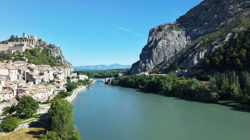
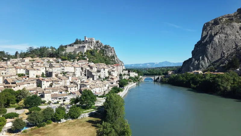
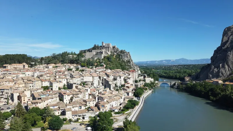
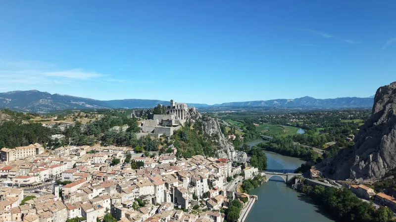
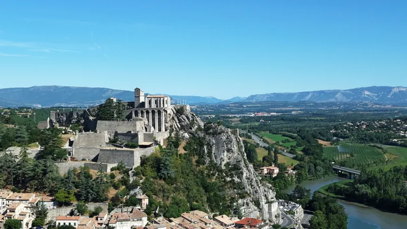
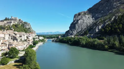
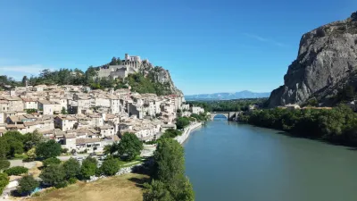
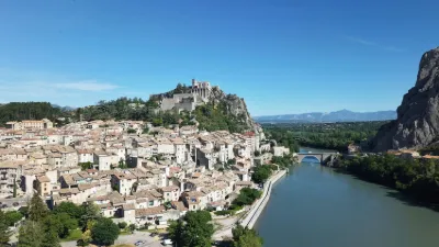
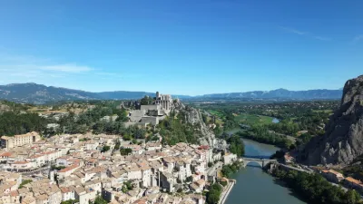
Sisteron, pearl of the Alpes-de-Haute-Provence, elegantly combines history and nature. Its past, which goes back to Antiquity and was shaped by the Romans and the Counts of Forcalquier, gives it a rich and authentic soul. The town is dominated by its citadel, a 16th-century military masterpiece, and its Rocher de la Baume, which offers a breathtaking view over the Durance valley. Today, Sisteron also charms visitors with its Marres leisure area, a green and watery space ideal for water sports, swimming or relaxing with the family. Between heritage and modernity, Sisteron embodies the harmony between its historical legacy and its current dynamism.
Map and restricted areas
Open in the main mapNearby aerodromes
Open aerodromes within 25 km of the spot, heliports included, with their distance and direction from the spot. Near an aerodrome, drone flying is prohibited or height-limited: check the UAS zones map.
| Aerodrome | Type | Distance | Elevation | Difference |
|---|---|---|---|---|
| Aérodrome de Sistéron-Vaumeilh | Aerodrome | 10 km N | 540 m | spot 43 m lower |
| La Motte du Caire Glider Field | Aerodrome | 15 km NE | 650 m | spot 153 m lower |
| Aérodrome de Château-Arnoux - Saint-Auban | Aerodrome | 16 km S | 460 m | spot 37 m higher |
Aviation weather (METAR and TAF)
No METAR station within 50 km.
Weather and Kp index
Sunrise and sunset
| Day | Dawn | Sunrise | Golden hour | Sunset | Dusk | Day length |
|---|---|---|---|---|---|---|
| Sat 21 Nov | 07:08 | 07:39 | 07:39–08:24 · 16:20–17:05 | 17:05 | 17:36 | 9 h 25 |
| Sun 22 Nov | 07:09 | 07:41 | 07:41–08:26 · 16:19–17:04 | 17:04 | 17:36 | 9 h 23 |
| Mon 23 Nov | 07:10 | 07:42 | 07:42–08:27 · 16:18–17:03 | 17:03 | 17:35 | 9 h 21 |
| Tue 24 Nov | 07:11 | 07:43 | 07:43–08:29 · 16:17–17:03 | 17:03 | 17:34 | 9 h 19 |
| Wed 25 Nov | 07:12 | 07:44 | 07:44–08:30 · 16:16–17:02 | 17:02 | 17:34 | 9 h 17 |
| Thu 26 Nov | 07:14 | 07:46 | 07:46–08:31 · 16:16–17:01 | 17:01 | 17:33 | 9 h 15 |
| Fri 27 Nov | 07:15 | 07:47 | 07:47–08:33 · 16:15–17:01 | 17:01 | 17:33 | 9 h 13 |
Nearby on Wikipedia
Nearby spots
 Water
Sisteron, on the Durance
 Mountain
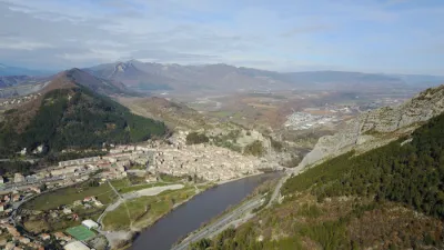
Sisteron Alpes de Haute Provence. Ridge of the Balm Rock.
 Mountain
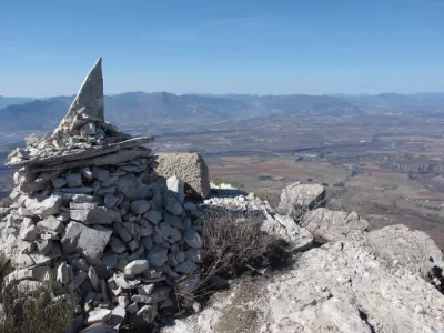
Mount Storm. Saint Geniez Alpes de Haute Provence.
 Mountain
Vanson Ridge. Saint Geniez
 Heritage
Entrepierres, the Pont de la Reine Jeanne
 Heritage
The Pont de la Reine Jeanne, Alpes de Haute Provence.
Reviews
Log in to review this spot. Log in · Create a free account
No reviews yet. Share yours!