| Photo | Map | Spot | Type | Max height | Access | Views |
|---|---|---|---|---|---|---|
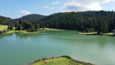
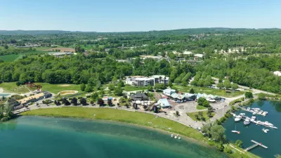
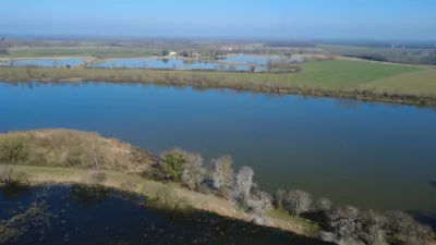
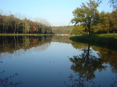
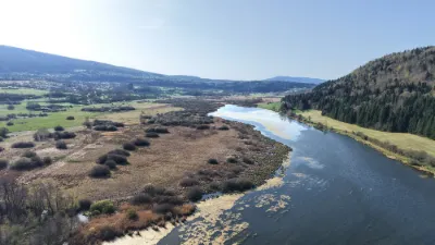
| Lac Genin - Charix | Water | 120 m max | Direct access by car | 29 | ||
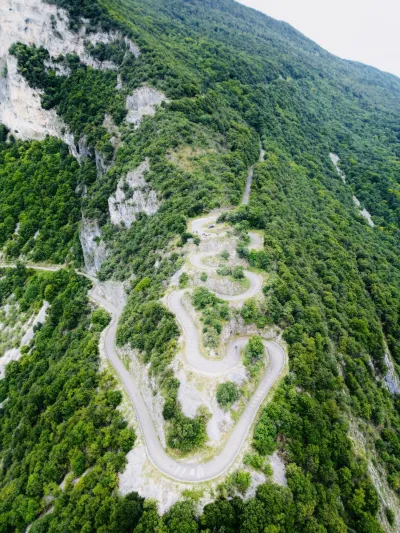
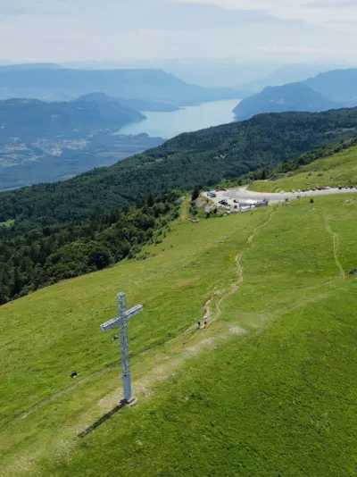
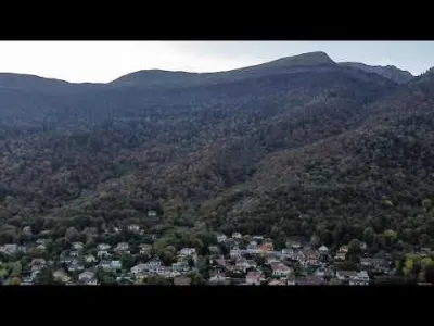
| Col Du Grand Colombier | Mountain | 120 m max | Direct access by car | 28 | ||
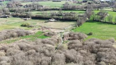
| Le Petit Montrond | Unusual | 120 m max | On foot < 1,000 m | 27 | ||
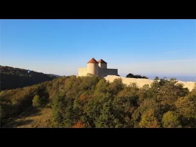
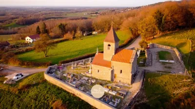
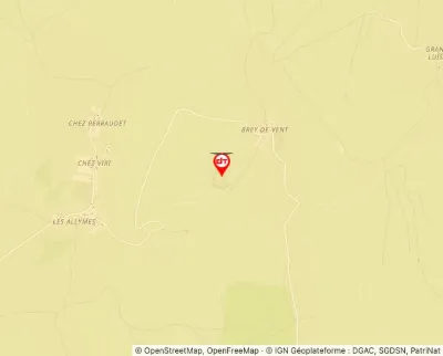
| Brey-de-Vent, 01500 Ambérieu-en-Bugey | Heritage | 120 m max | Direct access by car | 27 | ||
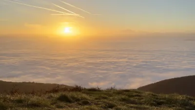
| Faucille | Mountain | 120 m max | Direct access by car | 26 | ||
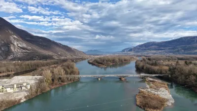
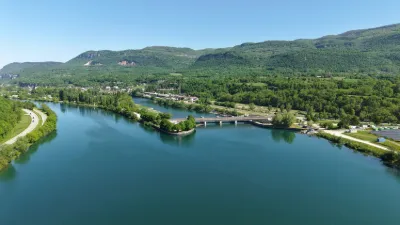
| Pont de la Loi - Ruffieux | Water | 120 m max | On foot < 1,000 m | 26 | ||
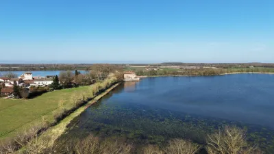
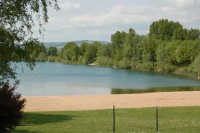
| Lac de Feillens | Water | 100 m max | Direct access by car | 26 | ||
| GrandColombier | Mountain | 120 m max | Access not specified | 25 | ||
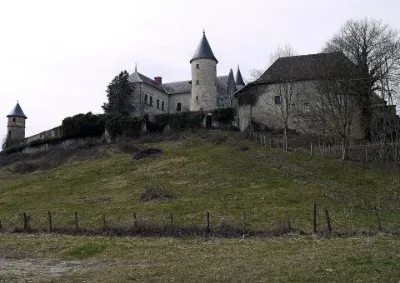
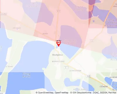
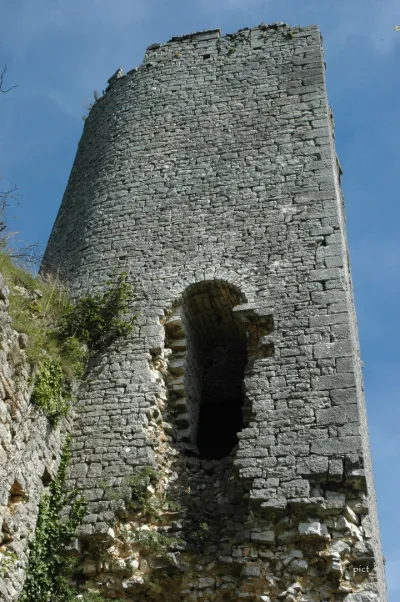
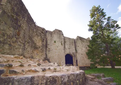
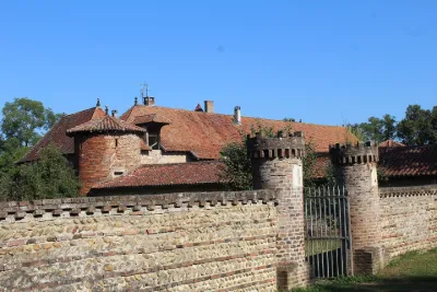
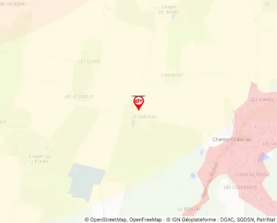
| Château de Bouligneux - Bouligneux | Heritage | 120 m max | Direct access by car | 23 | ||
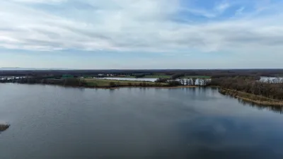
| Grand étang de Birieux - Birieux | Water | 120 m max | Direct access by car | 23 | ||
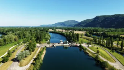
| Barrage et centrale hydro-électrique de Brégnier-Cordon - Brégnier-Cordon | Water | 120 m max | Direct access by car | 22 | ||
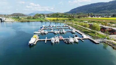
| The port of Virignin | Water | 50 m max | Direct access by car | 21 | ||
| Base de loisirs de la Vallée Bleue - Montalieu-Vercieu | Water | 120 m max | Direct access by car | 20 | ||
| Barrage de Sault-Brénaz - Groslée-Saint-Benoit | Water | 120 m max | Direct access by car | 20 | ||
| Echenevex | Water | 100 m max | On foot > 1,000 m | 19 | ||
| echenevex | Mountain | 120 m max | Direct access by car | 16 | ||
| plantais | Water | 120 m max | Direct access by car | 15 | ||
| Abbaye de Sélignac | Heritage | 120 m max | Direct access by car | 15 | ||
| Plan d'eau de Bordelans | Unusual | 100 m max | Direct access by car | 15 | ||
| Notre dame des conches | Heritage | 100 m max | Direct access by car | 15 | ||
| Étang de fougemagne | Water | 120 m max | Direct access by car | 14 | ||
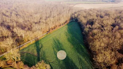
| The triangular field | Unusual | 120 m max | On foot < 1,000 m | 9 | ||
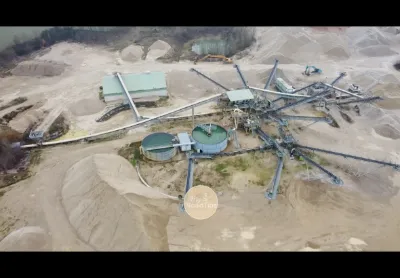
| DanneMuller Quarry // Ain 01 | Unusual | 120 m max | On foot < 1,000 m | 8 | ||
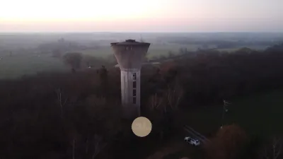
| Abandoned water tower | Unusual | 120 m max | On foot < 1,000 m | 8 | ||
| Les Lésines - Hauteville-Lompnes | Water | 120 m max | Direct access by car | 7 | ||
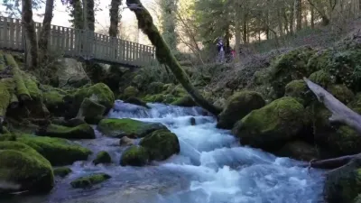
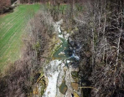
| The Thurignin Gorges - Valromey-sur-Séran | Water | 120 m max | Direct access by car | 7 | ||
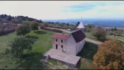
| Saint-Valérien Chapel | Heritage | 120 m max | Direct access by car | 7 | ||
| The walkways of the Vaux marsh - Cormaranche-en-Bugey | Water | 120 m max | On foot > 1,000 m | 6 | ||
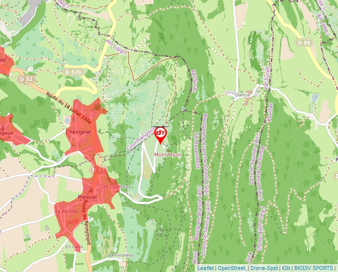
| Mont Myon | Mountain | 120 m max | On foot < 1,000 m | 4 | ||
| Superphénix nuclear power plant | Unusual | 120 m max | On foot < 1,000 m | 4 | ||
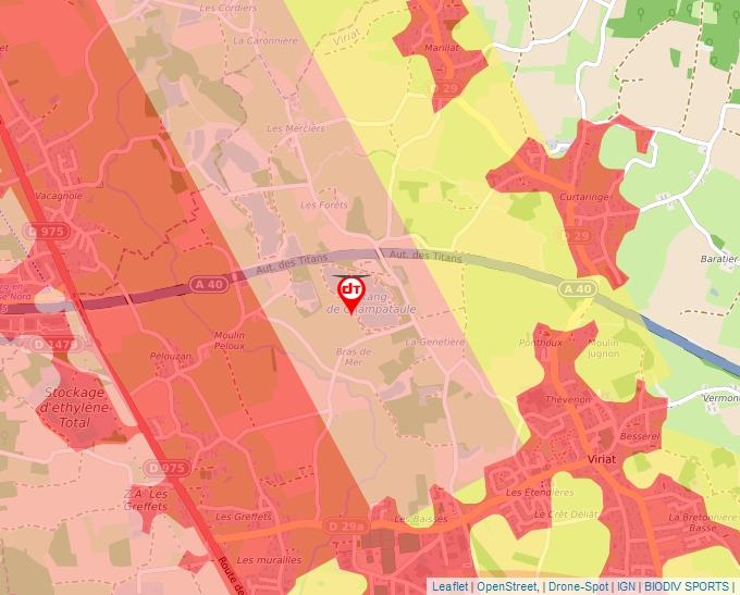
| Champatole Pond | Water | 30 m max | Direct access by car | 3 | ||
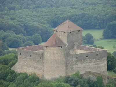
| Allymes Castle | Tourist site | 60 m max | 0 | |||
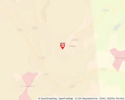
| Andert Castle | Tourist site | 50 m max | 0 | |||
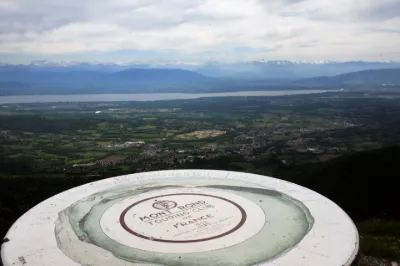
| Area around the Montrond Viewpoint Indicator | Tourist site | 120 m max | 4 | |||
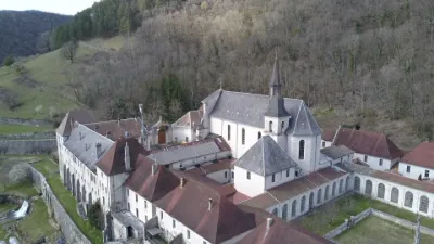
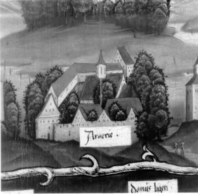
| Arvières Charterhouse | Tourist site | 100 m max | 9 | |||
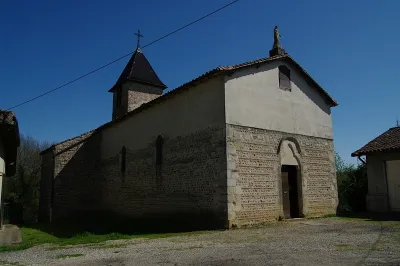
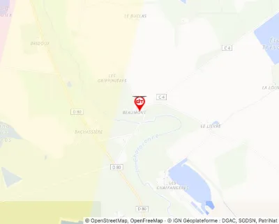
| Beaumont Chapel | Tourist site | 120 m max | 0 | |||
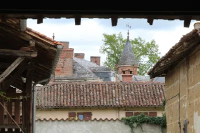
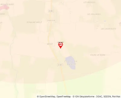
| Béost Estate | Tourist site | 50 m max | 0 | |||
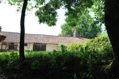
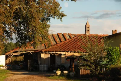
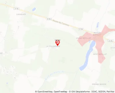
| Bevay Farm | Tourist site | 120 m max | 0 | |||
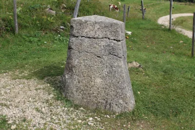
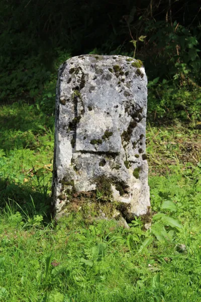
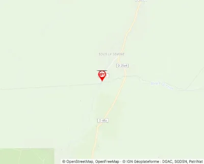
| Border Marker | Tourist site | 120 m max | 0 | |||
| Border Marker known as Borne au Lion | Tourist site | 120 m max | 0 | |||
| Bourbon Farm | Tourist site | 120 m max | 0 | |||
| Buenc Keep | Tourist site | 120 m max | 0 | |||
| Castle | Tourist site | 120 m max | 5 | |||
| Castle | Tourist site | 120 m max | 0 | |||
| Castle | Tourist site | 50 m max | 0 | |||
| Castle | Tourist site | 120 m max | 0 | |||
| Castle | Tourist site | 100 m max | 0 | |||
| Castle Mound | Tourist site | 120 m max | 0 |