Drone spots: Alpes-Maritimes (06)
333 spots · most viewed first · page 4 of 7
| Photo | Map | Spot | Type | Max height | Access | Views |
|---|---|---|---|---|---|---|
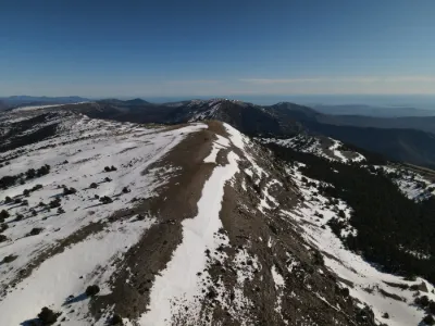
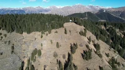
| Baïsse des Colettes | Mountain | 120 m max | On foot > 1,000 m | 226 | ||
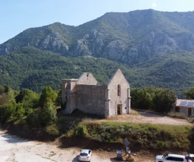
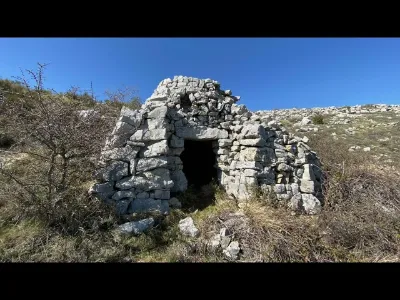
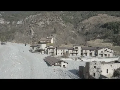
| The Chapel of Castillon | Heritage | 120 m max | On foot < 1,000 m | 212 | ||
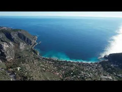
| Pointe du Cap Martin | Water | 120 m max | On foot < 1,000 m | 201 | ||
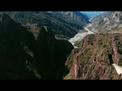
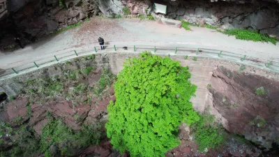
| The stunning viewpoint of the Gorges du Daluis | Mountain | 120 m max | On foot > 1,000 m | 200 | ||
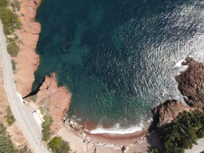
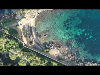
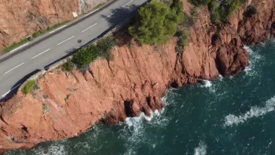
| route des calanques saint raphael | Water | 30 m max | Direct access by car | 197 | ||
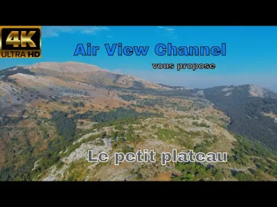
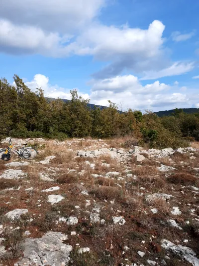
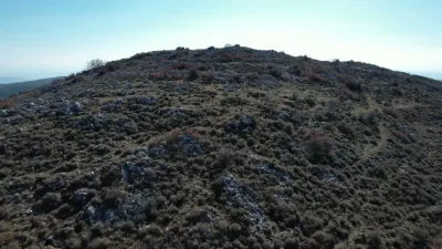
| The small plateau above Saint Vallier de Thiey, Alpes Maritimes, France | Mountain | 50 m max | On foot > 1,000 m | 193 | ||
| Cabbage of the Madone | Mountain | 120 m max | On foot < 1,000 m | 192 | ||
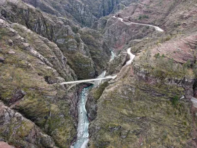
| Gorges de Daluis, Pont de la Mariée | Mountain | 120 m max | Direct access by car | 191 | ||
| Tourrettes-Sur-Loup | Heritage | 120 m max | On foot > 1,000 m | 187 | ||
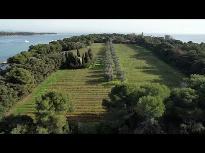
| Îles de Lérins - Île Sainte-Marguerite & Île Saint-Honorat | Water | 50 m max | On foot < 1,000 m | 175 | ||
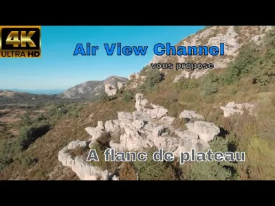
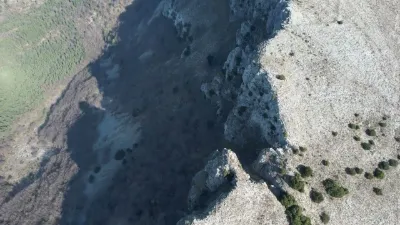
| Walk along the plateau's flank | Mountain | 30 m max | On foot > 1,000 m | 175 | ||
| Cap d'Antibes | Water | 50 m max | On foot < 1,000 m | 169 | ||
| The Point Sublime - Gorges de Daluis | Mountain | 120 m max | On foot > 1,000 m | 163 | ||
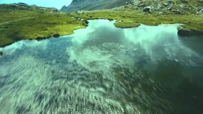
| Lacs de Millefonts - Valdeblore | Mountain | 120 m max | On foot < 1,000 m | 161 | ||
| Ile de Saint Honorat | Water | 50 m max | Access not specified | 159 | ||
| Saint Jean Cap Ferrat | Water | 30 m max | On foot > 1,000 m | 158 | ||
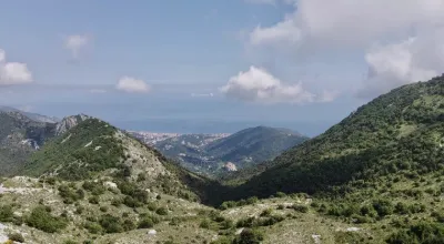
| Saint Vallier de Thiey | Mountain | 50 m max | On foot < 1,000 m | 158 | ||
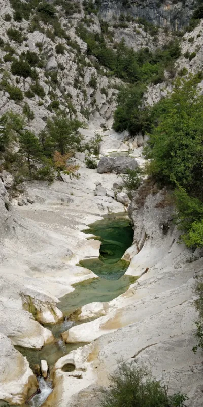
| Riolan Canyon | Mountain | 50 m max | On foot < 1,000 m | 156 | ||
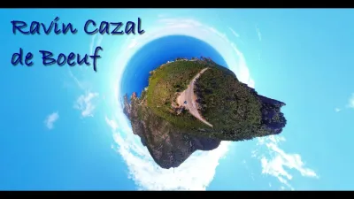
| Ravin Cazal de Boeuf - Anthéor | Mountain | 30 m max | Direct access by car | 154 | ||
| Montagne de l'Audibergue | Mountain | 50 m max | On foot > 1,000 m | 152 | ||
| Cap d'Antibes | Water | 50 m max | On foot < 1,000 m | 151 | ||
| Cians Gorges | Mountain | 120 m max | On foot < 1,000 m | 150 | ||
| Vievola | Water | 120 m max | On foot < 1,000 m | 148 | ||
| PLAGE D'ABEL BALIFF | Water | 30 m max | Direct access by car | 141 | ||
| Plan du Lion - 720m | Mountain | 120 m max | On foot > 1,000 m | 132 | ||
| Mont Gros - 686 meters - Roquebrune-Cap-Martin | Mountain | 120 m max | On foot < 1,000 m | 130 | ||
| Cime du Cheiron - Jérusalem - Gréolières les Neiges | Mountain | 50 m max | On foot > 1,000 m | 128 | ||
| From SAINT-CEZAIRE to the PONT DES TUVES | Water | 50 m max | On foot > 1,000 m | 124 | ||
| Ruins of Châteauneuf-Villevieille | Mountain | 120 m max | On foot < 1,000 m | 123 | ||
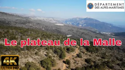
| The Plateau de la Malle, north-east of Grasse | Mountain | 120 m max | On foot > 1,000 m | 115 | ||
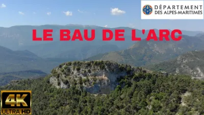
| Le Bau de l'Arc | Mountain | 120 m max | On foot > 1,000 m | 113 | ||
| Mont Vial (1550 meters) | Mountain | 120 m max | On foot < 1,000 m | 111 | ||
| Cime des Cabanelles - 1090 Meters - Côte d'Azur | Mountain | 120 m max | On foot > 1,000 m | 110 | ||
| Peïra-Cava - Lucéram | Water | 120 m max | Direct access by car | 108 | ||
| Le Haut Montet | Mountain | 120 m max | On foot < 1,000 m | 107 | ||
| Gourdon | Unusual | 30 m max | Direct access by car | 107 | ||
| Colle de Menon - 1029 Mètres | Mountain | 120 m max | On foot > 1,000 m | 105 | ||
| Col de Turini - Cime de la Calmette - 1786 meters | Mountain | 120 m max | On foot > 1,000 m | 104 | ||
| Mont Bastide - 570 Meters | Mountain | 50 m max | On foot < 1,000 m | 103 | ||
| Mouton d'Anou - 1079 Mètres | Mountain | 120 m max | On foot > 1,000 m | 101 | ||
| Pic de Courmettes - 1248 Meters - Côte d'Azur | Mountain | 120 m max | On foot > 1,000 m | 100 | ||
| Le Prét - 1265 meters - Cheiron Park - Coursegoules | Mountain | 50 m max | On foot > 1,000 m | 99 | ||
| Auron - Alpes Maritimes - Baisse de Colombier | Mountain | 120 m max | On foot < 1,000 m | 98 | ||
| Lacs des Millefonts - Valdeblore | Mountain | 120 m max | On foot > 1,000 m | 98 | ||
| Tête du Garnier - Tête de Charnaye - Beuil - Côte d'Azur | Mountain | 120 m max | On foot > 1,000 m | 98 | ||
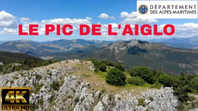
| Pic de l'Aiglo | Mountain | 50 m max | On foot > 1,000 m | 98 | ||
| Coaraze - Mont Férion - 1412 Meters | Mountain | 120 m max | On foot > 1,000 m | 94 | ||
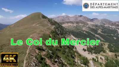
| Isola 2000, the col du Mercier | Mountain | 120 m max | On foot > 1,000 m | 93 |