Spots de drone : Charente-Maritime (17)
231 spots · les plus consultés d'abord · page 3 sur 5
| Photo | Carte | Spot | Type | Hauteur max | Accès | Vues |
|---|---|---|---|---|---|---|
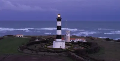
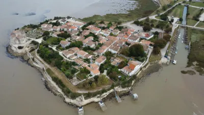
| Saint-Denis-d'Oléron | Eau | 120 m max | Accès direct en voiture | 100 | ||
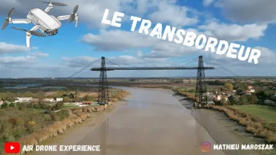
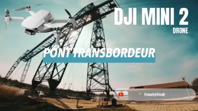
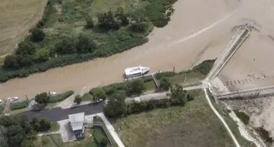
| Le Transbordeur | Eau | 120 m max | Accès direct en voiture | 99 | ||
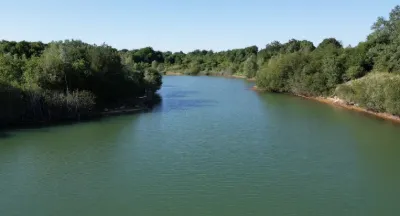
| Tonnay-Charentes | Eau | 120 m max | Accès à pied < 1 000 m | 96 | ||
| L’éguille | Eau | 60 m max | Accès direct en voiture | 92 | ||
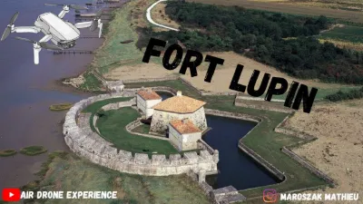
| Fort lupin | Eau | 60 m max | Accès direct en voiture | 91 | ||
| Jonzac | Patrimoine | 30 m max | Accès direct en voiture | 88 | ||
| Plage de la Perroche | Eau | 120 m max | Accès direct en voiture | 87 | ||
| Pont transbordeur | Eau | 120 m max | Accès direct en voiture | 87 | ||
| Loix | Non précisé | 60 m max | Accès direct en voiture | 87 | ||
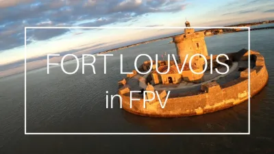
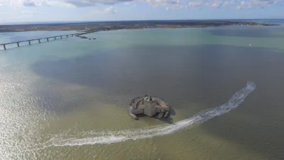
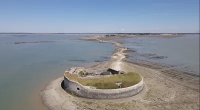
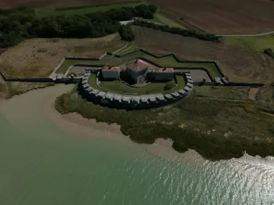
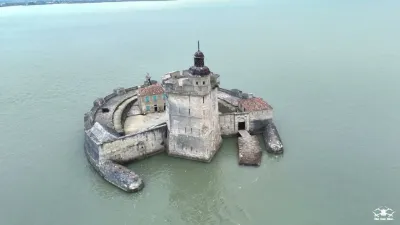
| Fort Louvois | Eau | 120 m max | Accès direct en voiture | 87 | ||
| Port d’Envaux | Patrimoine | 120 m max | Accès direct en voiture | 86 | ||
| Phare de la coubre | Eau | 120 m max | Accès direct en voiture | 84 | ||
| Baie de Gatseau, Ile d'Oléron | Eau | 120 m max | Accès à pied < 1 000 m | 83 | ||
| Carrelets de Port-des-barques | Eau | 120 m max | Accès direct en voiture | 83 | ||
| Carrelets Yves | Eau | 120 m max | Accès direct en voiture | 82 | ||
| La pointe Yves | Eau | 120 m max | Accès direct en voiture | 77 | ||
| Plage du Galon d'Or | Eau | 120 m max | Accès à pied < 1 000 m | 76 | ||
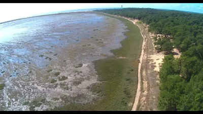
| Plage des pins de Cordouan | Eau | 120 m max | Accès direct en voiture | 75 | ||
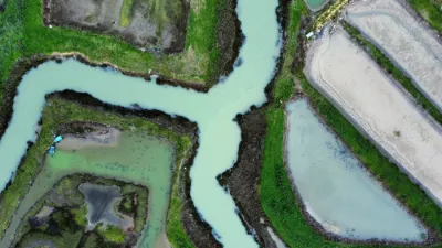
| Marais d'Yves | Patrimoine | 120 m max | Accès direct en voiture | 74 | ||
| Fouras | Patrimoine | 120 m max | Accès à pied < 1 000 m | 73 | ||
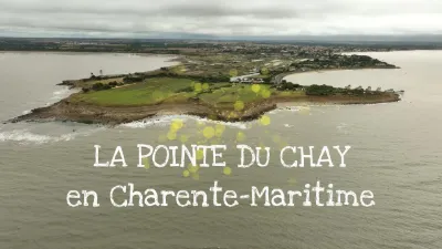
| Pointe du Chay | Eau | 120 m max | Accès direct en voiture | 71 | ||
| Les mathes | Eau | 120 m max | Accès à pied < 1 000 m | 70 | ||
| Tonnay Charentes | Patrimoine | 120 m max | Accès direct en voiture | 68 | ||
| Chanier | Eau | 60 m max | Accès direct en voiture | 66 | ||
| Talmont sur gironde | Patrimoine | 30 m max | Accès direct en voiture | 65 | ||
| PonttTransbordeur | Patrimoine | 120 m max | Accès à pied < 1 000 m | 62 | ||
| Archingeay | Eau | 120 m max | Accès à pied > 1 000 m | 51 | ||
| plage de Gatseau | Insolite | 120 m max | Accès à pied > 1 000 m | 48 | ||
| Saint Denis d'Oléron | Eau | 120 m max | Accès direct en voiture | 48 | ||
| Fort Louvois | Patrimoine | 120 m max | Accès direct en voiture | 41 | ||
| La pointe de la Fumée Fort Enet | Eau | 120 m max | Accès à pied > 1 000 m | 39 | ||
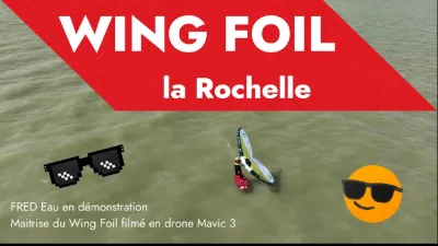
| Wing Foil à la Pointe du Chay | Eau | 30 m max | Accès à pied < 1 000 m | 37 | ||
| La palmyre | Eau | 120 m max | Accès à pied < 1 000 m | 36 | ||
| Vitrezai | Eau | 120 m max | Accès direct en voiture | 35 | ||
| Fort Lupin | Patrimoine | 60 m max | Accès à pied < 1 000 m | 35 | ||
| Marais de Loix | Eau | 120 m max | Accès direct en voiture | 32 | ||
| Fouras | Eau | 120 m max | Accès direct en voiture | 32 | ||
| Ile de Ré | Eau | 120 m max | Accès direct en voiture | 31 | ||
| La Pointe du Chay | Eau | 30 m max | Accès à pied < 1 000 m | 30 | ||
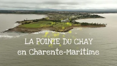
| La Pointe du Chay | Eau | 30 m max | Accès à pied < 1 000 m | 30 | ||
| Marennes-Hiers-Brouage / La Cayenne - Seudre | Eau | 120 m max | Accès direct en voiture | 29 | ||
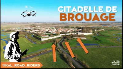
| Ville fortifiée de Brouage | Patrimoine | 50 m max | Accès à pied < 1 000 m | 26 | ||
| FORT LOUVOIS - Bourcefranc-Le-Chapus (17560) | Eau | 120 m max | Accès direct en voiture | 26 | ||
| Mornac sur Seine | Eau | 30 m max | Accès direct en voiture | 26 | ||
| LesMathes | Eau | 120 m max | Accès à pied < 1 000 m | 26 | ||
| Citadelle et Port du Château d'Oléron | Patrimoine | 120 m max | Accès à pied < 1 000 m | 24 | ||
| Le Port de la Baudissière (Oléron) ou La Route des Huîtres | Eau | 120 m max | Accès à pied < 1 000 m | 24 | ||
| Port de la Cotinière (Oléron) | Eau | 120 m max | Accès à pied < 1 000 m | 24 |