| Photo | Map | Spot | Type | Max height | Access | Views |
|---|---|---|---|---|---|---|
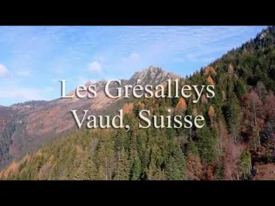
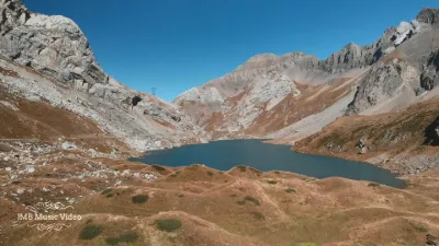
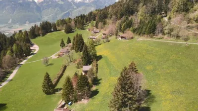
| Les Grésalleys | Mountain | 100 m max | On foot < 1,000 m | 214 | ||
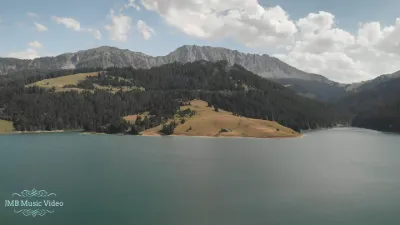
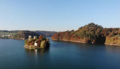
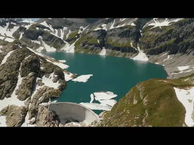
| Lake Hongrin | Mountain | 100 m max | Direct access by car | 210 | ||
| Col de la Croix, canton of Vaud | Mountain | 100 m max | Direct access by car | 208 | ||
| Le Chasseron | Mountain | 100 m max | On foot > 1,000 m | 207 | ||
| Val de Ruz | Mountain | 100 m max | Direct access by car | 199 | ||
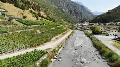
| Bagnes Valley | Mountain | 100 m max | Direct access by car | 199 | ||
| Villette | Water | 100 m max | On foot < 1,000 m | 197 | ||
| Lake Bret, Canton of Vaud | Mountain | 100 m max | On foot < 1,000 m | 197 | ||
| The Barillette | Mountain | 100 m max | Direct access by car | 197 | ||
| La tourne | Mountain | 100 m max | On foot < 1,000 m | 195 | ||
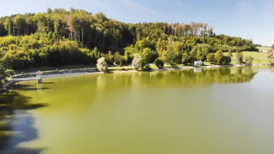
| Lake Bret | Mountain | 100 m max | Direct access by car | 194 | ||
| Sanetsch Pass - Canton of Valais - Switzerland | Mountain | 100 m max | Direct access by car | 193 | ||
| Lake Hongrin | Unusual | 100 m max | On foot < 1,000 m | 192 | ||
| Lauenensee | Mountain | 100 m max | On foot > 1,000 m | 191 | ||
| Champsec | Mountain | 100 m max | Direct access by car | 190 | ||
| Goumois | Water | 100 m max | On foot < 1,000 m | 189 | ||
| La Sagne | Mountain | 100 m max | On foot < 1,000 m | 188 | ||
| Le Levron - Canton of Valais - Switzerland | Mountain | 100 m max | Direct access by car | 188 | ||
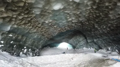
| Lower Arolla Glacier - Glacial cave | Mountain | 100 m max | On foot > 1,000 m | 186 | ||
| Col des Planches - Martigny - Canton of Valais | Mountain | 100 m max | Direct access by car | 186 | ||
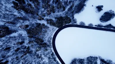
| Route de Lignière | Aerial Photogrammetry | 100 m max | Direct access by car | 184 | ||
| Mayens de la Zour | Mountain | 100 m max | Direct access by car | 184 | ||
| La Rippe | Water | 100 m max | Direct access by car | 183 | ||
| Saxeten | Mountain | 100 m max | On foot > 1,000 m | 183 | ||
| Col du Nufenen | Mountain | 100 m max | Direct access by car | 183 | ||
| Emmetten | Mountain | 100 m max | Direct access by car | 182 | ||
| Gerra - Val Verzasca - Tessin - Suisse | Mountain | 100 m max | Direct access by car | 179 | ||
| Morcote | Heritage | 100 m max | On foot < 1,000 m | 177 | ||
| Saxon - Valais - Switzerland | Mountain | 100 m max | Direct access by car | 177 | ||
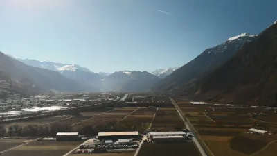
| Rhone Plain - Valais - Switzerland | Mountain | 100 m max | On foot < 1,000 m | 177 | ||
| Bernex signal | Not specified | 100 m max | Direct access by car | 176 | ||
| Bovernier - Canton of Valais - Switzerland | Water | 100 m max | Direct access by car | 176 | ||
| Pont-la-ville | Water | 100 m max | On foot < 1,000 m | 176 | ||
| Béridier, Delémont | Mountain | 100 m max | Direct access by car | 173 | ||
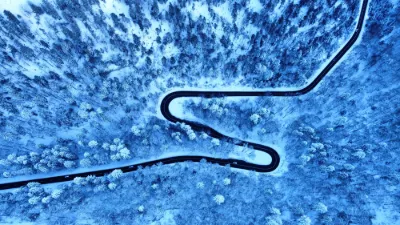
| Route de Chamont | Mountain | 100 m max | On foot < 1,000 m | 170 | ||
| The Plamproz | Mountain | 100 m max | Direct access by car | 169 | ||
| Ravoire - Canton of Valais - Switzerland | Mountain | 100 m max | Direct access by car | 169 | ||
| Entlebuch | Mountain | 100 m max | Direct access by car | 167 | ||
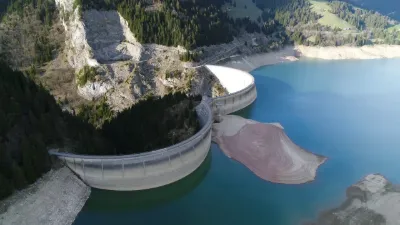
| Barrage d'Emosson | Mountain | 100 m max | Direct access by car | 166 | ||
| La Chaux | Mountain | 100 m max | On foot > 1,000 m | 166 | ||
| Sanetsch Pass - Canton of Valais - Switzerland | Mountain | 100 m max | Direct access by car | 165 | ||
| Corbeyrier | Mountain | 100 m max | Direct access by car | 165 | ||
| Tête de Ran | Mountain | 100 m max | On foot < 1,000 m | 162 | ||
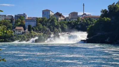
| Rhine Falls | Water | 100 m max | On foot < 1,000 m | 162 | ||
| Vallée de Joux | Mountain | 100 m max | On foot < 1,000 m | 161 | ||
| Barrage d'Emosson | Mountain | 100 m max | On foot < 1,000 m | 160 | ||
| Husseg | Mountain | 100 m max | On foot > 1,000 m | 160 | ||
| Isérables | Mountain | 100 m max | Direct access by car | 160 |