Spots de drone : Isère (38)
318 spots · les plus consultés d'abord · page 4 sur 7
| Photo | Carte | Spot | Type | Hauteur max | Accès | Vues |
|---|---|---|---|---|---|---|
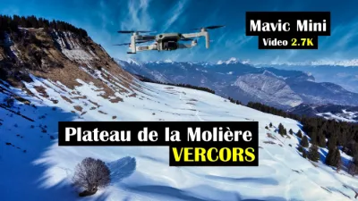
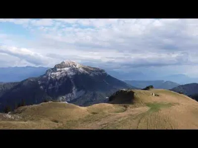
| Plateau de la Molière | Montagne | 120 m max | Accès à pied > 1 000 m | 123 | ||
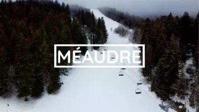
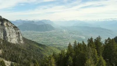
| Méaudre | Montagne | 120 m max | Accès à pied > 1 000 m | 123 | ||
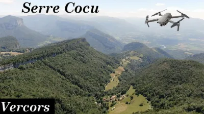
| Serre Cocu | Montagne | 120 m max | Accès à pied < 1 000 m | 122 | ||
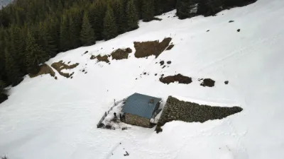
| Chalet de l'Aup Bernard - Le Haut Bréda | Montagne | 120 m max | Accès à pied > 1 000 m | 121 | ||
| Ecoutoux | Montagne | 120 m max | Accès à pied > 1 000 m | 121 | ||
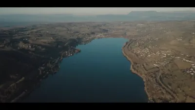
| Lac de Paladru | Eau | 120 m max | Accès direct en voiture | 117 | ||
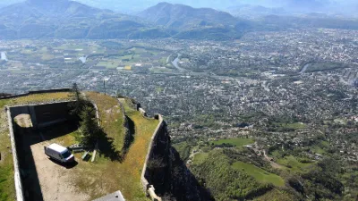
| Fort de Comboire | Patrimoine | 120 m max | Accès non précisé | 115 | ||
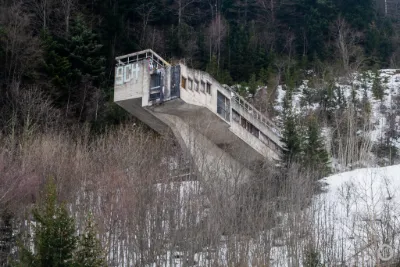
| Tremplin du Dauphiné | Montagne | 120 m max | Accès à pied < 1 000 m | 112 | ||
| Porte de l'Alpette - La Plagne | Montagne | 120 m max | Accès à pied > 1 000 m | 109 | ||
| Le Cohard - Le Haut Bréda | Montagne | 120 m max | Accès à pied < 1 000 m | 106 | ||
| Route de Voiron | Montagne | 50 m max | Accès direct en voiture | 105 | ||
| Bassin de Flumet - Saint Pierre d'Allevard - Crêts en Belledonne | Eau | 120 m max | Accès à pied < 1 000 m | 103 | ||
| Montfort (Crolles) | Patrimoine | 120 m max | Accès à pied < 1 000 m | 102 | ||
| Beauvoir-en-Royans | Patrimoine | 120 m max | Accès direct en voiture | 101 | ||
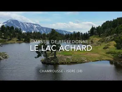
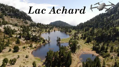
| Lac Achard | Montagne | 120 m max | Accès à pied > 1 000 m | 98 | ||
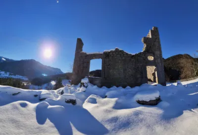
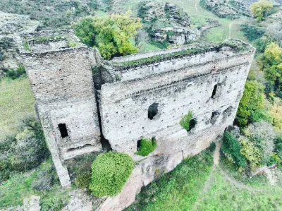
| Les ruines du château de Montbel | Patrimoine | 120 m max | Accès à pied < 1 000 m | 96 | ||
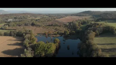
| Les Cyprès Chauves, Etang de la Roche, Saint-Baudille-de-la-Tour, Isère | Eau | 120 m max | Accès à pied < 1 000 m | 94 | ||
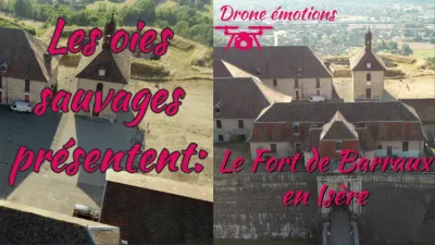
| Le Fort Barraux | Patrimoine | 120 m max | Accès direct en voiture | 93 | ||
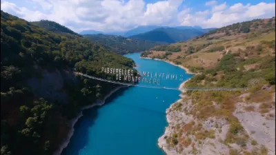
| Passerelles Himalayennes de Monteynard | Eau | 120 m max | Accès à pied < 1 000 m | 93 | ||
| Lac de la Taillat | Eau | 50 m max | Accès direct en voiture | 92 | ||
| saint aupre | Eau | 120 m max | Accès direct en voiture | 92 | ||
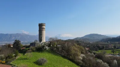
| Tour d'Avalon - Saint Maximin | Patrimoine | 120 m max | Accès à pied < 1 000 m | 91 | ||
| Lac du Sautet à Corps | Eau | 120 m max | Accès à pied < 1 000 m | 89 | ||
| Saint Baudille de la Tour | Eau | 120 m max | Accès à pied < 1 000 m | 88 | ||
| Sous le Col de l'Alpe - Les Prés | Montagne | 50 m max | Accès à pied > 1 000 m | 84 | ||
| Cascade de la Pisserotte en Chartreuse | Eau | 120 m max | Accès à pied < 1 000 m | 84 | ||
| Le cirque de Saint Même | Eau | 120 m max | Accès à pied < 1 000 m | 83 | ||
| Ancienne batterie du Fort du Saint Eynard - Le Sappey-en-Chartreuse | Montagne | 120 m max | Accès à pied < 1 000 m | 81 | ||
| Château de Seyssuel | Patrimoine | 120 m max | Accès à pied < 1 000 m | 80 | ||
| Montfort (Crolles) | Patrimoine | 120 m max | Accès à pied < 1 000 m | 79 | ||
| Le cirque de Saint Même | Eau | 120 m max | Accès à pied > 1 000 m | 78 | ||
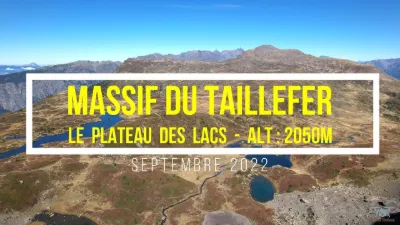
| MASSIF DU TAILLEFER - PLATEAU DES LACS | Montagne | 120 m max | Accès à pied < 1 000 m | 78 | ||
| Fort du Saint-Eynard | Montagne | 120 m max | Accès à pied > 1 000 m | 78 | ||
| Rencontre avec une biche | FPV Racing | 50 m max | Accès à pied < 1 000 m | 77 | ||
| Croix de l'Alpe - Les Prés | Montagne | 120 m max | Accès à pied > 1 000 m | 73 | ||
| L'Émeindras du dessus - Le Sappey-en-Chartreuse | Montagne | 120 m max | Accès à pied < 1 000 m | 73 | ||
| Lac Achard | Montagne | 120 m max | Accès à pied < 1 000 m | 73 | ||
| Chapelle Saint-Joseph | Patrimoine | 50 m max | Accès à pied < 1 000 m | 73 | ||
| Le Sappey en Chartreuse | Montagne | 120 m max | Accès à pied < 1 000 m | 71 | ||
| Fort de Comboire | Patrimoine | 120 m max | Accès à pied > 1 000 m | 70 | ||
| Sermerieu | Patrimoine | 50 m max | Accès direct en voiture | 68 | ||
| Lac des Tavernes - Col du Barioz | Montagne | 120 m max | Accès à pied > 1 000 m | 67 | ||
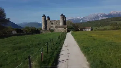
| Château de Bon Repos | Patrimoine | 120 m max | Accès direct en voiture | 67 | ||
| seyssuel | Patrimoine | 120 m max | Accès à pied < 1 000 m | 66 | ||
| Lac de la Jasse | Montagne | 120 m max | Accès à pied < 1 000 m | 66 | ||
| Fort du Saint Eynard - Le Sappey-en-Chartreuse | Patrimoine | 120 m max | Accès à pied < 1 000 m | 65 | ||
| Lac de la Grande Moucherolle, Villard-de-Lans | Montagne | 120 m max | Accès à pied > 1 000 m | 63 | ||
| Crolles | Eau | 120 m max | Accès à pied < 1 000 m | 62 |