Drone spots: Hautes-Alpes (05)
139 spots · most viewed first · page 3 of 3
| Photo | Map | Spot | Type | Max height | Access | Views |
|---|---|---|---|---|---|---|
| Chambran Valley | Mountain | 120 m max | On foot < 1,000 m | 52 | ||
| Vallouise | Mountain | 120 m max | Direct access by car | 51 | ||
| Puy Aillaud | Mountain | 120 m max | Direct access by car | 51 | ||
| Fonts Valley | Mountain | 120 m max | On foot < 1,000 m | 49 | ||
| Superdevoluy | Mountain | 120 m max | On foot > 1,000 m | 48 | ||
| Briançon forest | Mountain | 120 m max | On foot > 1,000 m | 48 | ||
| Champs | FPV Racing | 120 m max | Direct access by car | 47 | ||
| Col d’Izoard, Torrebt du Lac | Mountain | 120 m max | On foot < 1,000 m | 46 | ||
| Lac de l'Oyrcerette | Water | 120 m max | On foot > 1,000 m | 45 | ||
| Queyras Valley | Mountain | 120 m max | On foot < 1,000 m | 41 | ||
| Lake Vivas | Water | 120 m max | Direct access by car | 40 | ||
| Chaudun | Mountain | 120 m max | On foot > 1,000 m | 39 | ||
| St Genis, the Riou lake | Water | 120 m max | On foot < 1,000 m | 32 | ||
| Charance Ridges | Mountain | 120 m max | On foot > 1,000 m | 29 | ||
| Mont Guillaume | Mountain | 120 m max | On foot > 1,000 m | 28 | ||
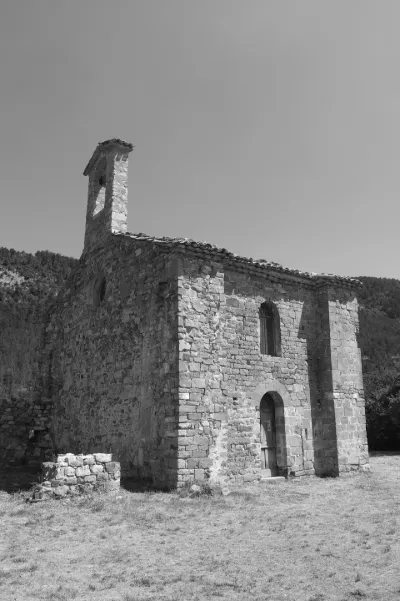
| Chapelle Ste Philomène in Montmaure | Heritage | 120 m max | Direct access by car | 27 | ||
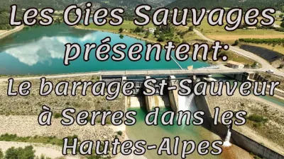
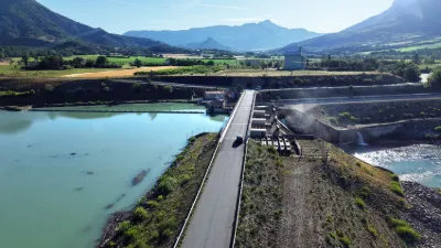
| Serres, the dam. | Water | 120 m max | Direct access by car | 27 | ||
| Serre Chevalier | Mountain | 120 m max | On foot < 1,000 m | 26 | ||
| Lac du Pelleautier | Water | 120 m max | Direct access by car | 26 | ||
| BRIANCON | Mountain | 50 m max | On foot < 1,000 m | 12 | ||
| Le QUEYRAS | Mountain | 50 m max | Direct access by car | 10 | ||
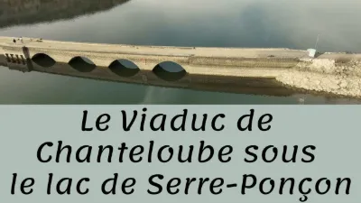
| Chanteloube Viaduct | Water | 120 m max | Direct access by car | 7 | ||
| The Riou lake - Garde-Colombe | Water | 120 m max | Direct access by car | 6 | ||
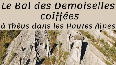
| The Demoiselles Coiffées site of Théus | Unusual | 120 m max | Direct access by car | 6 | ||
| The Saint-Sauveur Dam - Le Bersac | Water | 120 m max | Direct access by car | 5 | ||
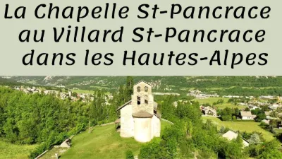
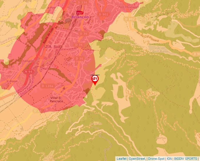
| Le Villar St Pancrace and its chapel St Pancrace | Water | 50 m max | On foot < 1,000 m | 4 | ||
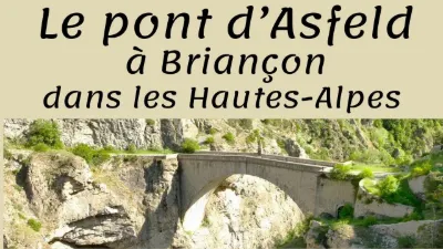
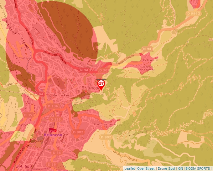
| Briançon, the Pont d'Asfeld | Heritage | 120 m max | On foot < 1,000 m | 4 | ||
| NEVACHE - Clarée Valley | Mountain | 120 m max | On foot > 1,000 m | 4 | ||
| NEVACHE - Clarée Valley | Mountain | 50 m max | On foot > 1,000 m | 4 | ||
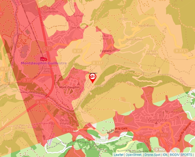
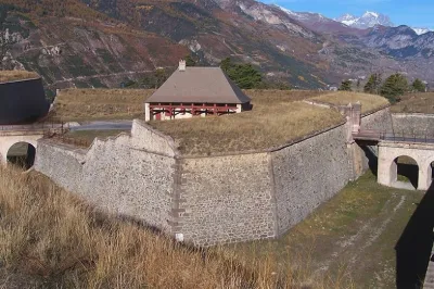
| Mont-Dauphin | Heritage | 50 m max | On foot < 1,000 m | 3 | ||
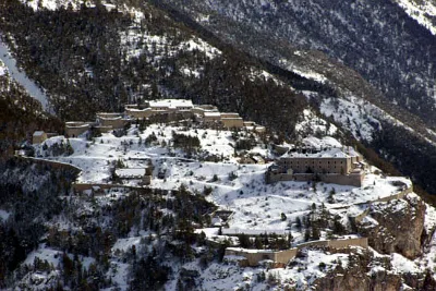
| Anjou Fort and Adjoining Bare Land | Tourist site | 100 m max | 0 | |||
| Dauphin Fort | Tourist site | 50 m max | 0 | |||
| Former Boscodon Abbey | Tourist site | 120 m max | 0 | |||
| Gicons Chapel known as Mère Eglise | Tourist site | 120 m max | 4 | |||
| House at Clot du Riou in Souliers | Tourist site | 120 m max | 0 | |||
| Lesdiguières Castle | Tourist site | 120 m max | 0 | |||
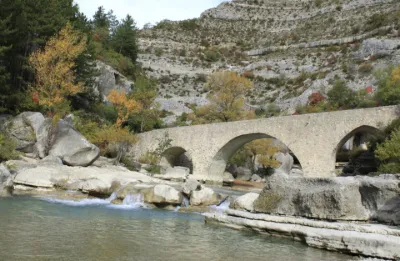
| Medieval Bridge over the Meouge | Tourist site | 120 m max | 0 | |||
| Old Gate Path, known as Pertuis Rostan | Tourist site | 120 m max | 0 | |||
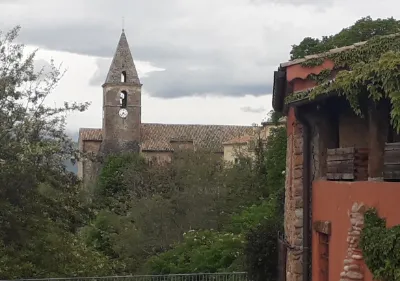
| Parish Church | Tourist site | 100 m max | 0 | |||
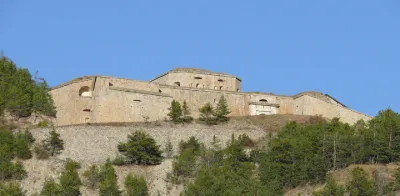
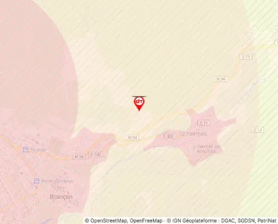
| Randouillet Fort | Tourist site | 50 m max | 0 | |||
| Saint-Cyrice Church | Tourist site | 120 m max | 0 | |||
| Salettes Fort | Tourist site | 50 m max | 0 | |||
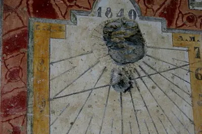
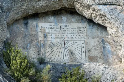
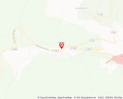
| Sundial | Tourist site | 120 m max | 0 |