| Photo | Map | Spot | Type | Max height | Access | Views |
|---|---|---|---|---|---|---|
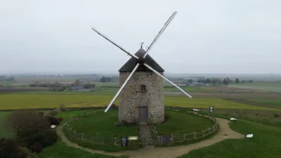
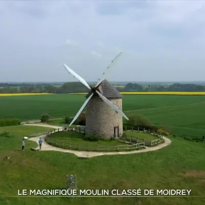
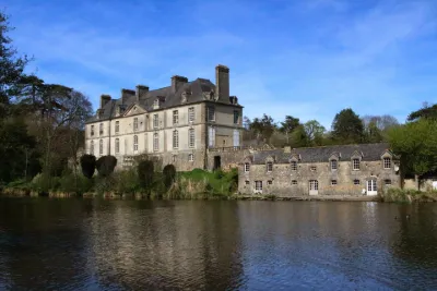
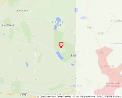
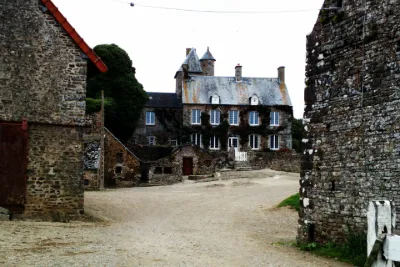
| Moidrey Mill | Heritage | 50 m max | Direct access by car | 25 | ||
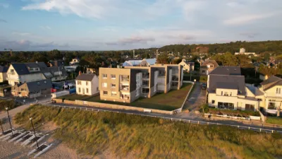
| Jullouville | Water | 120 m max | Direct access by car | 15 | ||
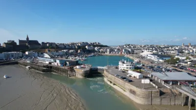
| Port | Water | 100 m max | Direct access by car | 14 | ||
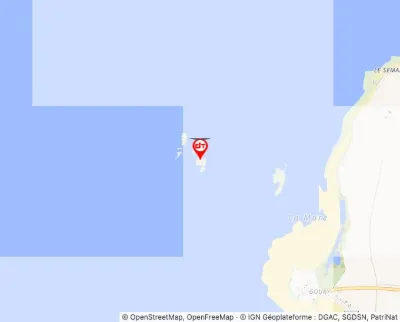
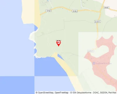
| La Pointe du Groin | Heritage | 50 m max | Direct access by car | 14 | ||
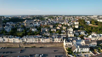
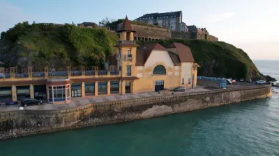
| Granville | Water | 50 m max | Direct access by car | 12 | ||
| Le Tar | Water | 120 m max | Direct access by car | 11 | ||
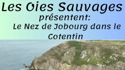
| The Nez de Jobourg | Water | 120 m max | On foot < 1,000 m | 10 | ||
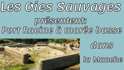
| Port Racine | Water | 120 m max | Direct access by car | 10 | ||
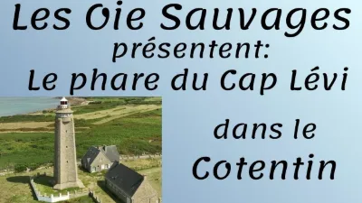
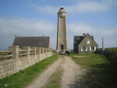
| Cap Lévi lighthouse | Water | 120 m max | Direct access by car | 10 | ||
| Granville | Water | 120 m max | Direct access by car | 9 | ||
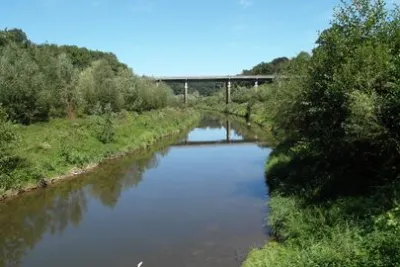
| Pont des Biards- Isigny-le-Buat | Water | 30 m max | Direct access by car | 8 | ||
| Moulin de Moidrey - Pontorson | Heritage | 30 m max | Direct access by car | 8 | ||
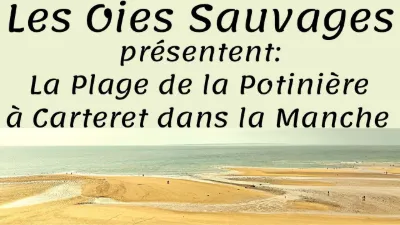
| Carteret, La Potinière beach | Water | 120 m max | Direct access by car | 8 | ||
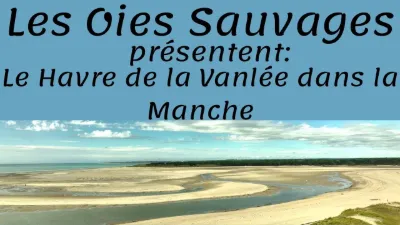
| Le havre de la Vanlée | Water | 100 m max | On foot < 1,000 m | 8 | ||
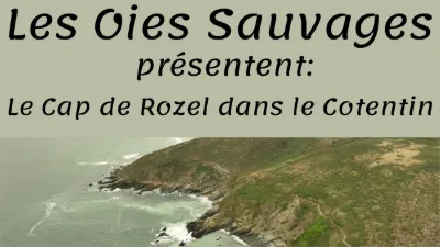
| Le Cap du Rozel | Water | 120 m max | On foot > 1,000 m | 8 | ||
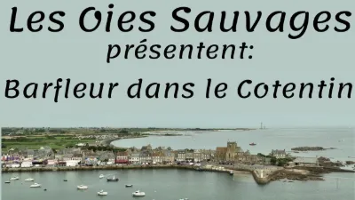
| Barfleur | Water | 120 m max | Direct access by car | 8 | ||
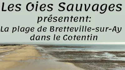
| Bretteville sur Ay | Water | 120 m max | Direct access by car | 8 | ||
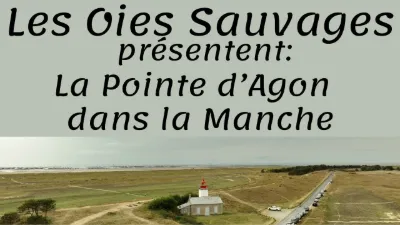
| The Agon point | Water | 120 m max | Direct access by car | 8 | ||
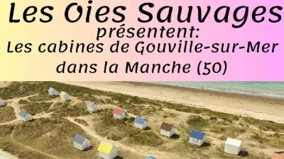
| The cabins of Gouville-sur-Mer | Water | 120 m max | Direct access by car | 8 | ||
| Portbail | Water | 30 m max | Direct access by car | 8 | ||
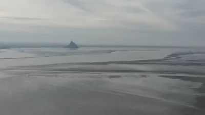
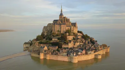
| Mont Saint-Michel and the Saint Anne Chapel | Heritage | 120 m max | Direct access by car | 7 | ||
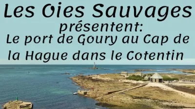
| The Cap de la Hague, the port of Goury | Water | 120 m max | Direct access by car | 7 | ||
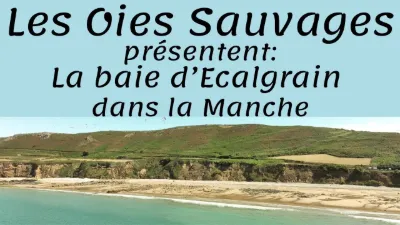
| The bay of Ecalgrain | Water | 120 m max | On foot < 1,000 m | 7 | ||
| Pointe du Groin Sud - Mont Saint Michel | Water | 50 m max | Direct access by car | 7 | ||
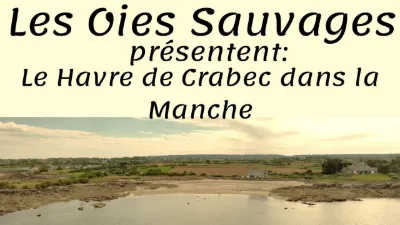
| The Havre de Crabec | Water | 120 m max | On foot < 1,000 m | 7 | ||
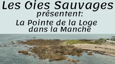
| Pointe de la Loge | Water | 120 m max | Direct access by car | 7 | ||
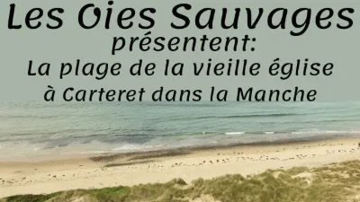
| Carteret, old church beach | Water | 120 m max | On foot < 1,000 m | 7 | ||
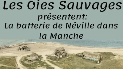
| La batterie de Néville | Water | 120 m max | Direct access by car | 7 | ||
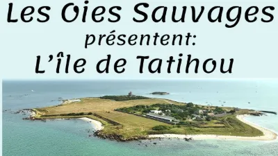
| Tatihou Island | Water | 120 m max | On foot > 1,000 m | 6 | ||
| Le Bec d'Amont | Water | 120 m max | On foot < 1,000 m | 6 | ||
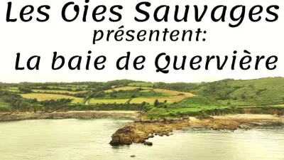
| The bay of Quervière | Water | 120 m max | Direct access by car | 6 | ||
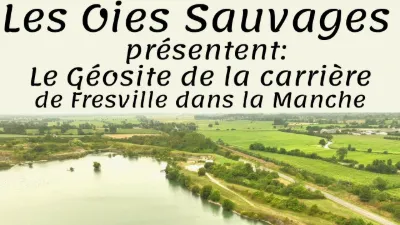
| Fresville quarry geosite | Water | 120 m max | Direct access by car | 6 | ||
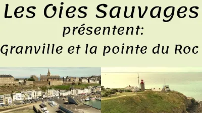
| Granville, la pointe du Hoc | Water | 120 m max | Direct access by car | 6 | ||
| Carentan, the Haut Dick canal | Unusual | 50 m max | Direct access by car | 5 | ||
| Mont Besnéville | Unusual | 50 m max | Direct access by car | 5 | ||
| Autel des Druides Passage Grave | Tourist site | 120 m max | 0 | |||
| Cap Lévi Lighthouse | Tourist site | 120 m max | 0 | |||
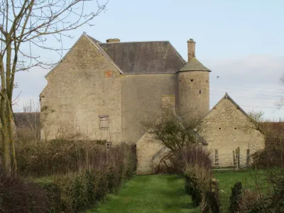
| Castle Also Known as Mariéville Manor | Tourist site | 120 m max | 0 | |||
| Courcy Castle | Tourist site | 120 m max | 0 | |||
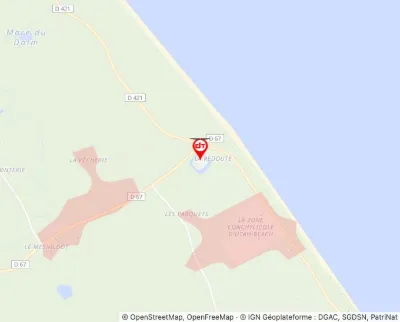
| Former Audouville Redoubt | Tourist site | 120 m max | 0 | |||
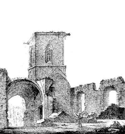
| Former Blanchelande Abbey | Tourist site | 120 m max | 0 | |||
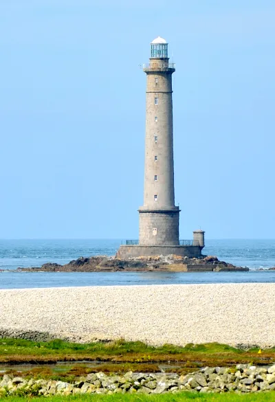
| Hague or Goury Lighthouse | Tourist site | 120 m max | 0 | |||
| La Brisette Castle | Tourist site | 120 m max | 0 | |||
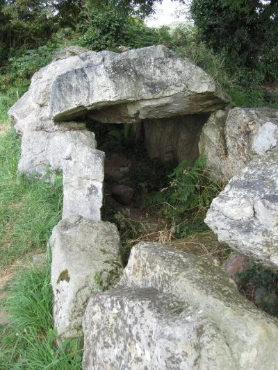
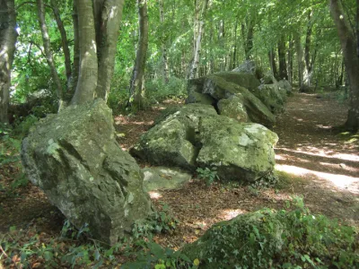
| La Petite Roche Passage Grave | Tourist site | 120 m max | 9 | |||
| Le Hague Dike Entrenchment | Tourist site | 50 m max | 0 | |||
| Manor of But and its Mill | Tourist site | 120 m max | 0 | |||
| Olonde Castle | Tourist site | 120 m max | 0 | |||
| Pou Middle Paleolithic Site | Tourist site | 120 m max | 0 |